Download
1 / 19
220 likes | 437 Views
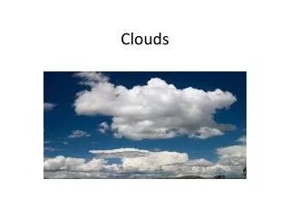
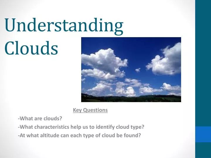
Understanding Clouds. Key Questions -What are clouds? -What characteristics help us to identify cloud type? -At what altitude can each type of cloud be found?. Guided Notes Instructions. Complete by reading notes around the room and follow your hand-out to guide you. What are clouds?.

E N D
Understanding Clouds Key Questions -What are clouds? -What characteristics help us to identify cloud type? -At what altitude can each type of cloud be found?
Guided Notes Instructions • Complete by reading notes around the room and follow your hand-out to guide you.
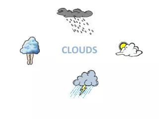
What are clouds? • Clouds- a visible mass of condensed water vapor floating in the atmosphere, typically high above the ground.
Cloud Altitude Graph • You will create a graph that includes all of the different types of clouds we will learn about this year. • THESE WILL BE YOUR NOTES ON CLOUDS- DO QUALITY WORK!! • On your diagram you must have… • Title: Cloud Altitude Graph • Labeled x and y axis • Each Cloud Type (10 total)
Cloud Altitude Graph Set-up • On the white sheet of paper… • Title your graph: Cloud Altitude Graph • Use the ruler to create the x-axis and y-axis. • Label the x-axis CLOUD TYPE • Label the y-axis ALTITUDE • For the y-axis… • Start at 0 on the origin and go up by 5,000 ft. increments until you reach 50,000 ft. (This is your scale!) • For the x-axis… • Label CLOUD TYPE in the center • Use the altitude range from your notes and the physical descriptions to create your cloud graph.
Example Cloud Altitude Graph
Additional Time??? Create a cloud foldable and experiment to see what types of weather is associated with each cloud type!
Foldable Instructions • Cut the excess paper off to make a square (only cutting on the solid black line) • Fold each corner into the center creating a smaller square (leaving the words on the INSIDE of the folds) • Flip your foldable over (now you are looking at the opposite side) • Fold each corner to the center again creating an even smaller square. • Now fold the square in half • Pull the outside tabs away from the inside and place your fingers in the flaps to mold your foldable. (See me for help )