Download
1 / 22
220 likes | 335 Views
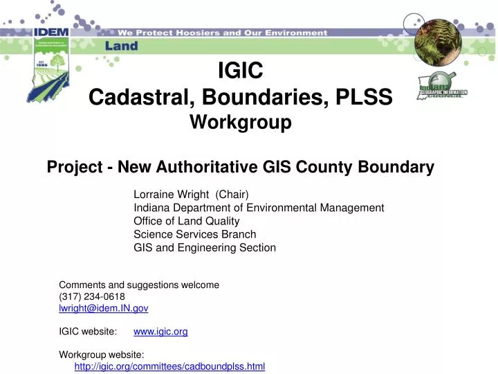
IGIC Cadastral, Boundaries, PLSS Workgroup Project - New Authoritative GIS County Boundary. Lorraine Wright (Chair) Indiana Department of Environmental Management Office of Land Quality Science Services Branch GIS and Engineering Section Comments and suggestions welcome

E N D
IGIC Cadastral, Boundaries, PLSSWorkgroup Project - New Authoritative GIS County Boundary Lorraine Wright (Chair) Indiana Department of Environmental Management Office of Land Quality Science Services Branch GIS and Engineering Section Comments and suggestions welcome (317) 234-0618 lwright@idem.IN.gov IGIC website: www.igic.org Workgroup website: http://igic.org/committees/cadboundplss.html
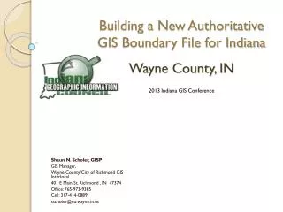
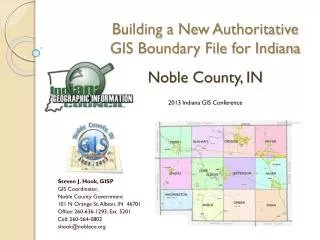
Building a New Authoritative GIS County Boundary Layer for Indiana Based on County Data and County Participation
GIS County Boundary Workgroup Participants Lorraine Wright - IDEM Michael Stevenson - Gibson, Co Surveyors Asso. Rick Hill - IGS, INMAP Bryan Catlin - Marion Steve Hook - Noble Shaun Scholer - Wayne Dave Estes - Allen John Howe - Gibson Phil Worrall - IGIC Jim Milburn - Hancock Robert Muller – State Land Office Jason Coyle - ISPLS Ryan Swingley –Seiler Instruments Jim Sparks – IN GIO Gunty Allen - Wayne
Cadastral, Boundaries, PLSS Workgroup Projects Tie Card Project – PLSS Surveyor Tie Card Layer (INMAP) New GIS County Boundary - Point, Line, and Polygon Layers Government Land Office (GLO) Records (Federal, State, & County Records linked in GIS)
Tie Card Pilot Project Components • Grid Points • Statewide Grid Point Naming Convention • Scanned Tie Cards • Renaming Software (need Adobe Reader) • Database Table (Access) • automatically created when using Renaming Software • Database included Tie Card hyperlink • Click on map hyperlink and see scanned Tie Card pop-up • Training materials on website along with a video step by step
Grid Point File Naming Convention (approximate section corner and section division corners ) IN02_T23NR06E03_08 State Name and Principal Meridian – IN02 Township Number – T23 Township Direction – N Range Number – R06 Range Direction – E Section – 03 Grid Number – 08 (Grid numbering system begins with 00 in upper left hand of section and ends in 80, bottom left corner) Tie Card Project Developed Statewide Grid Point Naming Convention
NE NW Tie Card Project Grid Points are numbered 00-80 in each section Approximation of ¼, ¼, ¼ corners Computer generated points SE SW
IN02_T23NR06E03_80 • IN02_T23NR06E03_08 Tie Card Project IN02_T23NR06E10_08 Grid point representation of section and ¼ corner Grid Point numbers (00, 04, 08, 36, 40, 44, 72, 76, 80) NE Corner NW Corner SW Corner SE Corner
Building a New Authoritative GIS County Boundary Layer for Indiana Based on County Data and County Participation
New Authoritative GIS County Boundary • Need for new GIS County Boundary • Design/process - Template • Development of [pilots] • Allen, Gibson, Marion, Noble, and Wayne • Develop process for maintenance of a new GIS County Boundary layer for the IndianaMap
New GIS County Boundary - Why? • Need to match GIS data across counties by using a common boundary • Federal GIS data mandates (use standards) • State GIS data efforts are to have seamless data across county boundaries • County 911 calls – across adjacent counties • Match Boundaries – across adjacent counties • Civil Township • County Boundary • Parcel Boundary (adjoining counties) • PLSS Boundaries • Street/Centerlines • Other
Inventory – Different Scales Census Newberry Library INDOT IGS 92 Individual County Boundaries Southern Indiana Boundary Court case, coordinates on paper, DNR created shapefile Northern Indiana Boundary Retracement Survey Ongoing Need better accuracy – state-wide GIS County Boundary LayersDesign/Process
County Boundary – Identified Laws/References (Design/Process) Sources for County Boundary Legal Descriptions Indiana laws – IN Revised Statute 1852 (multiple counties), follow changes IC 36-2-1-1 - Names of counties Sec. 1. Indiana is divided into the ninety-two (92) counties named in this section. The boundaries of these counties existing on August 31, 1981, remain in effect until changed in the manner prescribed by section 2 of this chapter… County Boundaries Book Legal references for county boundary descriptions Published in 1933 Newberry Library History of Indiana Counties Historical and current Indiana boundary shapefiles Individual County Boundary Chronologies through 1981 Individual County Surveyor Offices
GIS County Boundary LayersDesign/Process Developed a Disclaimer Location of the points in this GIS County Boundary Layer are approximate and should not be used for surveying and are NOT APPROVED by a COUNTY SURVEYOR for surveying purposes. Contact the County Surveyor’s Office when conducting research for surveying.
County Boundary With Point Features Developed First Acquire County Boundary legal descriptions Identify PLSS corners and section lines that define boundary Associate the legal information to the boundary points Best available OR Grid Points Use County Boundary Template (available to counties) for documenting data collection process Counties can use best available data to create boundary or use the Grid Points – Counties decide Develop line and polygon layers New GIS County Boundary Best available boundaries will be on IndianaMap as County Boundaries become available GIS County BoundaryDesign/Process
Legal Description CallState Name Conv. Northeast Corner of Section 15, T17N, R5E IN02_T17NR05E15_08 Beg Southeast Corner of Section 34, T17N, R5E IN02_T17NR05E34_80
GIS County BoundaryDesign/Process • Developed Template for New GIS County Boundary • Attributes • Structure (still refining) • Need to be able to change GIS boundary points if GIS data is improved (documentation)
GIS County BoundaryDesign/Process • New GIS County Boundary • Use best available data • Adjacent Counties to determine best common boundary line • Communication between the County Surveyor and GIS staff - important part of this process • New GIS County Boundary Template will be available for Counties • Counties can import County Data into Template
GIS County BoundaryDesign/Process • Template Attributes being refined for • Field length • Field type • Maintenance procedures • Still to be worked out
GIS County BoundaryDesign/Process • Better quality GIS County Boundary’s improve quality of associated layers • PLSS, TR Section, Civil Township, other • Pilot Counties: Allen, Gibson, Marion, Noble, and Wayne County
Participants Indiana Geographic Information Council (IGIC) – federal, state, county, local, private Indiana Society of Professional Land Surveyors (ISPLS) Office of the Indiana State Geodetic Advisor Indiana County Surveyor’s Association Indiana Geological Survey Private Companies IGIC Cadastral, Boundaries, PLSS WorkgroupWorking with Surveying Community
Boundaries, Cadastral and PLSS Workgroup • http://www.igic.org/committees/cadboundplss.html Lorraine Wright (Chair) Indiana Department of Environmental Management Office of Land Quality Science Services Branch GIS and Engineering Section (317) 234-0618 lwright@idem.IN.gov