Download
1 / 3
30 likes | 162 Views
Cooperative Institute for Climate and Satellites (CICS). One of the newest of NOAA ’ s CIs With a very long heritage Two main centers: CICS-MD and CICS-NC With partners from many other academic, non-profit, and private institutions, including

E N D
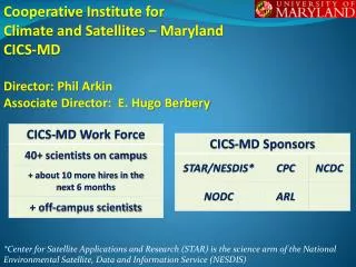
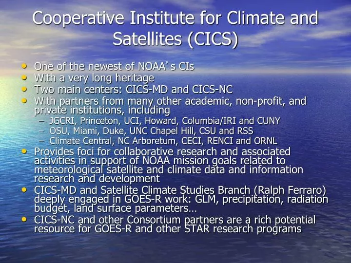
Cooperative Institute for Climate and Satellites (CICS) • One of the newest of NOAA’s CIs • With a very long heritage • Two main centers: CICS-MD and CICS-NC • With partners from many other academic, non-profit, and private institutions, including • JGCRI, Princeton, UCI, Howard, Columbia/IRI and CUNY • OSU, Miami, Duke, UNC Chapel Hill, CSU and RSS • Climate Central, NC Arboretum, CECI, RENCI and ORNL • Provides foci for collaborative research and associated activities in support of NOAA mission goals related to meteorological satellite and climate data and information research and development • CICS-MD and Satellite Climate Studies Branch (Ralph Ferraro) deeply engaged in GOES-R work: GLM, precipitation, radiation budget, land surface parameters… • CICS-NC and other Consortium partners are a rich potential resource for GOES-R and other STAR research programs
Blended Products • One specific area of emphasis for CICS-MD relevant to GOES-R is the development of products that combine information from sensors on both GEO and LEO platforms • Lightning and microwave to improve precipitation (Wang, Adler) • Microwave estimates and cloud motions to improve spatial/temporal resolution (CMORPH) • CMORPH (developed at NCEP/CPC): • Precipitation estimates from TRMM, SSM/I, AMSU • Storm motion from GEO IR • Resolution 10 km/30 minutes • 60°N-60°S beginning 1998
Satellite-Climate Products • CICS themes emphasize Climate and Satellites • Climate monitoring products based on satellite observations rely on: • Intercalibration: only way to assure users that events/trends are real and not artifacts of instrument/satellite changes – STAR plans calibration center • Reprocessing: only way to ensure that advances in sensor/algorithm science are reflected in climate products • GOES-R (and JPSS) need reprocessing strategy to facilitate NOAA’s climate monitoring/prediction mission