Download
1 / 16
160 likes | 171 Views
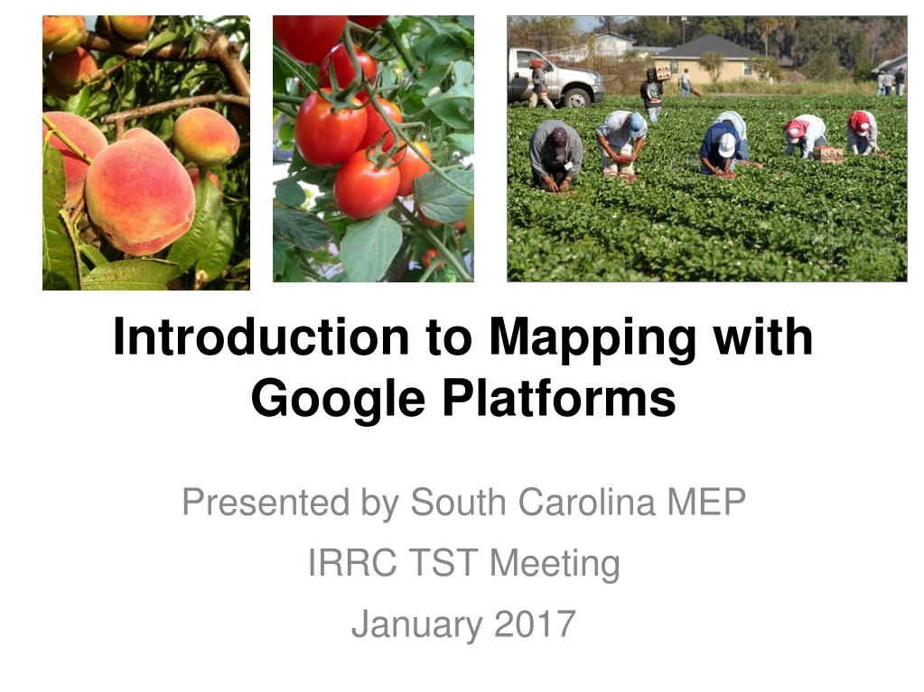
Introduction to Mapping with Google Platforms. Presented by South Carolina MEP IRRC TST Meeting January 2017. Mapping with Google Earth. Demonstrate basics of Google Earth Why maps? How they can appear Practical applications Hands on Mapping Points of Interest and Importing Data

E N D
Introduction to Mapping with Google Platforms Presented by South Carolina MEP IRRC TST Meeting January 2017
Mapping with Google Earth Demonstrate basics of Google Earth Why maps? How they can appear Practical applications Hands on Mapping Points of Interest and Importing Data Break out 1: Practice in Groups Converting maps onto a GPS Discuss other platforms for mapping Review of Resources
Why should we utilize mapping for ID&R? • Compliance with the Non-Reg Guidance and OME Monitoring Instrument: • Chapter III, (A4): “In implementing an active statewide ID&R process, the SEA should: Implement a formal process to map all of the areas within the State where migrant families are likely to reside.” • Organization, New Recruiters/Seasonal Turn-over • You might think, “I already know my region!!”- OK, but what happens when you are gone?
What can maps look like? What can you do? • https://drive.google.com/open?id=1an0VQH_3wuRUmpe-lE6iBteQP4o&usp=sharing
Adding Folders You will need a new folder for every area you are identifying (town,region,center, etc.) After creating a new folder, always save it to my places. Files not saved here will be in your temporary places and be lost when closing out program. * You may move these sub-folders to your desired region
Points of Interest (POI) Type in address you are looking for and hit search/enter. You may also type in key words such as “fruit farms in Athens,GA”. *By inserting the word farm, you will need to ignore businesses with the word containing farm; such as State Farm.
Pinpointing POIs Once the address is inserted, it will pinpoint to where the place is via satellite view. Click on the yellow thumbtack in the tool bar above. Name the location according to the farm list/directory. In this section, you are also able to include any links,images and details about the location.
Pinpointing Tacks Under styles you can also color code each region to show the different areas such as type of farm, region itself, or school district, etc. Under description, you can also insert any key notes or even the exact address for future use.
Importing to a Garmin GPS Under the new folders you have created, right click and save place as - This file should be a kmz file not a a kml Prior to importing it to the GPS, Save it to desktop so they are easier to locate.
Converting to a GPX file Go to http://www.gpsvisualizer.com In the green box, select the file you are wanting to convert. Next in the drop box below, drag down to GPX file and then select convert it. Download the newly created GPX file and save it to your hard drive. Connect your GPS to your computer using a USB cord. Send the file to your GPS. This file will be found in your favorites section of the GPS.
Google Maps Once you have the files developed in Google Earth, you will also be able view them in Google Maps. You will be able to invite parties via email to view the map on their smartphone/computer in the Google Maps app.
Heads Up 1 2 3 4 5
Contact Info/ Resources • Travis Williamson • 315-842-0980 • Zach Taylor • Ztaylor@ed.sc.gov • 803-391-9393 • 843-592-8782 All Resources & Powerpoint File Available HERE! http://padlet.com/stateidr/gososychicago