Download
1 / 31
310 likes | 444 Views
Lewis County. EMME/2 to GIS Best Practices for Model Data Portability October 19, 2006. Integrating EMME/2 TM into the GIS World. EMME – GIS Integration: The Big Picture. Tailored Solutions Productivity. Get Visual Data to the People who Need it (fast & efficiently).

E N D
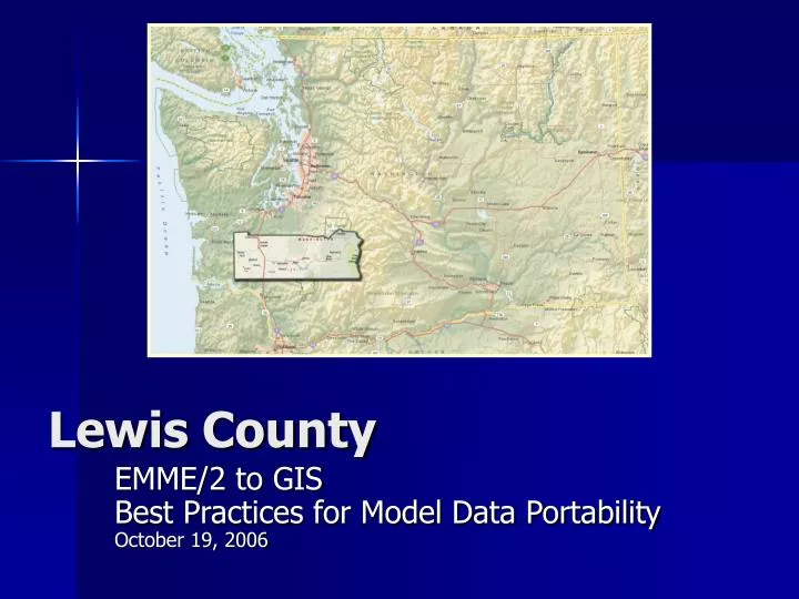
Lewis County EMME/2 to GIS Best Practices for Model Data Portability October 19, 2006
EMME – GIS Integration: The Big Picture • Tailored Solutions • Productivity Get Visual Data to the People who Need it (fast & efficiently)
EMME – GIS Integration: The Big Picture • Interoperability (with GIS and other systems) Data Portability (move data easily between apps) Seamless Desktop Environment
EMME – GIS Integration: Linear Referencing Logical Network vs. GIS Road Data Road Data EMME/2 Link EMME/2 Link
EMME – GIS Integration: Linear Referencing Logical Network vs. GIS Road Data 1087 1088
Lewis CountyThe Project Team • Lewis County Project Manager – Mark Cook, PE County Traffic Engineer – Bill Bullock, PE GIS Analyst – Matt Hyatt • Perteet Project Manager – Michael Booth • RST Modeling Task Manger -- Robert Tung, PE • JXR Modeling Data Management – Jin Ren, PE • Tetra Tech/KCM GIS Task Manager – Chris Hansen GIS Applications Developer – Richard Chase
Lewis CountyThe Project Objectives • Develop a Travel Demand Model • Create Tools to Best Visualize Model and Related Traffic Data Leverage the County’s GIS for Data Visualization
Lewis CountyGIS Objectives • Create a GIS Interface for Multiple Business Systems Establish a Graphic Interface to the EMME/2 Model
0 0 Rush Rd.. 1 1 603 1 1 Forest- 2 0 Napavine Rd.. 2 2 0 Napavine 1 0 3 3 1 1 0 7 2 3 4 5 6 2 Avery Rd. W. 1 0 4 2 3 W. Birch Av. 3 4 GIS Base Network 71 1 2 70 69 67 68 68
GIS Base Network 0 0 Unified Referencing System Rush Rd.. 1 1 71 603 Ramp 1 1 Forest- 2 0 1 Napavine Rd.. 2 2 2 Ramp 0 1 70 0 3 3 1 1 0 7 2 69 3 4 5 6 2 Ramp Avery Rd. W. 1 67 0 68 4 2 3 Ramp W. Birch Av. 3 68 4
GIS Base Network 11939 EMME/2 Integration 11937 Rush Rd.. 603 Ramp Forest- Napavine Rd.. 11940 Ramp 11936 11941 11935 11938 11932 11933 11934 Ramp Avery Rd. W. 11928 11929 11930 11931 Ramp W. Birch Av. 11927
GIS Base Network 11939 EMME/2 Integration 11937 • CRIS <-> GIS • GIS <-> EMME/2 E15 Rush Rd.. 603 E7 Ramp Forest- E9 Napavine Rd.. 11940 E8 Ramp 11936 E6 11941 E5 E14 11935 11938 E4 E10 E11 11932 11933 11934 E13 Ramp E2 Avery Rd. W. E3 11928 11929 11930 E2 11931 Ramp W. Birch Av. E1 E12 11927
Lewis CountyTask List • Modelers Build Network in EMME/2 • Run Conflation Procedures • Develop Tools to Load Model Data to the GIS Network Network Editing remains in EMME/2 New and Proposed Facilities must be manually added to the GIS and EMME/2 Conflation Tools Re-run after Network Editing
Lewis CountyConflation Process Matching Nodes to Intersections (the closer they are placed the better) 1055 EMME3 Coordinate Management Tools Shapefile Conversion Utility
Lewis CountyConflation Process Robust GIS Network
Lewis CountyModel Output to GIS Data Bank Parsing Tool For i = 3 To iArraySize If StrComp(sDataArray(i), "t nodes init") Or (bStart = True) Then bStart = True sDataArray(i) = Pack(sDataArray(i)) sFieldData = Split(sDataArray(i)) iArraySize2 = UBound(sFieldData) If (iArraySize2 = -1) Then pMxDoc.ActiveView.Refresh pMxDoc.ActiveView.ScreenDisplay.UpdateWindow MsgBox "Done with Nodes" import_lines_from_emme2_211_file thePath, i + 2 Exit Sub Else Set pfeat = pFClass.CreateFeature iNodeID = pfeat.Fields.FindField("ID") pfeat.Value(iNodeID) = CInt(sFieldData(2)) Set pPoint = New esriGeometry.Point pPoint.PutCoords CDbl(sFieldData(3)), CDbl(sFieldData(4)) Set pfeat.Shape = pPoint pPointCollection.AddPoint pPoint pfeat.Store End If End If Next
Lewis CountyModel Output to GIS Data Bank Parsing Tool SELECT WHERE VOLUME_04 < VOLUME_10
Lewis CountyGIS Graphic User Interface • Administrative Tool • Coordinates Node events with Link records • General User Tool • Allows direct import of EMME/2 model data into DBaseIV table and adds route data
Lewis CountyGIS Graphic User Interface Administrators Tool
Lewis CountyGIS Graphic User Interface General User Tool
2030 Network Centroid Connectors 50% Increase in Traffic (2004 – 2030) EMME/2 to GIS
MOBILITY to GIS Database Utility for Managing County Road Data
Lewis CountyGIS – EMME/2 Integration Concluding Thoughts Evaluate the Business Need Scale the GIS Integration to your Needs
Lewis CountyGIS – EMME/2 Integration Chris Hansen Chris.hansen@tetratech.com 360-629-0242