Download
1 / 28
300 likes | 440 Views
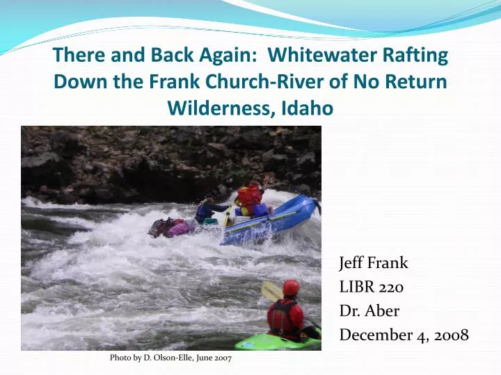
There and Back Again: Whitewater Rafting Down the Frank Church-River of No Return Wilderness, Idaho. Jeff Frank LIBR 220 Dr. Aber December 4, 2008. Photo by D. Olson-Elle, June 2007. Introduction.

E N D
There and Back Again: Whitewater Rafting Down the Frank Church-River of No Return Wilderness, Idaho Jeff Frank LIBR 220 Dr. Aber December 4, 2008 Photo by D. Olson-Elle, June 2007
Introduction • The purpose of this presentation is to help tell the story of a whitewater rafting trip I embarked upon in Idaho in 2007 by using a variety of geographic resources in order to add more perspective to the experience than by just using textual narrative and photographs. With the advent of satellite technology, remote sensing, and GIS, the viewing and manipulation of vast expanses of mapped terrain is now accessible to virtually everyone. In addition, this kind of access provides insight to a region’s geography that may not have been obvious before (i.e., viewing the following USGS topographic maps provides some clues as to why certain rapids are located where they are along the Salmon River.). • Fortunately, there was an abundance of available online geographic and mapping materials to assist in telling the story of this trip. • Though some of the resources used for this presentation that I found or revisited were done independent of class, most of the materials utilized were discovered as a result of the weekly lectures and assignments presented in LIBR 220.
The Trip • For the week of June 11-16, 2007, I participated in a whitewater rafting trip with the members and guests of the Idaho State University Outdoor Adventure Center, Pocatello, Idaho. • We drove north from Pocatello to the launch at Corn Creek, ~west down an ~80 mile stretch of the Salmon River in North Central Idaho known as the ‘River of No Return’ in the Frank Church Wilderness, met back up with our vans at the take-out, and then made the return trip south to Boise and then east across the Snake River Plain to Pocatello (to the other side of the state). All told it was a nearly 700 mile round trip! • Dinner, breakfast, and subsequent dishwashing duties were handled by a different group of folks each night and determined by which raft each group was on. Lunch was provided by the center’s director’s parents. • The cost = $165 each. Yes, dear reader, you read that right.
The Trip (cont.) • When on the river, the group consisted of several self-draining inflatable rafts packed to the gills with all manners of supplies, waterproof bags, and the ever-essential groover (read: portable toilet). • Each raft was piloted by one experienced oarsperson and up to three travelers in each raft to basically just enjoy the ride. However, the opportunity for others to steer the rafts at many points was always present. • In addition to the rafts, a handful of kayakers were present to act as scouts and safety personnel in case any of the rafters accidentally fell in the river. • There were plenty of stops along the river during the week including visiting several historical locations, hot springs, hieroglyphs, and several homesteads.
And where’s this place called “Idaho”? Google. Map of United States [map]. 2008. Scale undetermined; generated by Jeffrey Frank; using “Google Maps”. http://maps.google.com/ (1 December 2008).
Idaho Remotely Sensed Satellite Image of Idaho [map]. 1996. Scale not given. “Color Landform Atlas of the United States-Idaho”. http://fermi.jhuapl.edu/states/avhrr/ID_213.n12.96aug23_1437.html/ (25 November 2008).
The Same View, but on a Larger Scale • River of No Return • Notice the visibility of the • canyon through which the • Salmon River flows Satellite Image of Idaho [map]. 1996. Scale not given. “Color Landform Atlas of the United States-Idaho”. http://fermi.jhuapl.edu/states/avhrr/ID_213.n12.96aug23_1437.html/ (25 November 2008).
Frank Church-River of No Return WILDERNESS The Salmon River is located in the Frank Church-River of No Return Wilderness in Central Northern Idaho. At over 2.3 million acres, the wilderness is the “largest contiguous National Forest Wilderness in the lower 48 states”. (US Forest Service, 2001, 4) Major tributaries are the Middle Fork and South Fork Salmon Rivers. (Idaho Vicinity [map]. 2001. Scale undetermined. “A user’s guide Frank Church-River of No Return Wilderness”. 2001. United States Department of Agriculture - Forest Service. http://www.fs.fed.us/r4/sc/recreation/fcronr/userguide.pdf. (19 November 2008).
Another map showing the Frank Church-River of No Return Wilderness Idaho Wilderness Areas [map]. 2004. Scale undetermined; generated by Jeffrey Frank; using “National Atlas Map Maker”. http://www.wilderness.net/index.cfm?fuse=NWPS&sec=stateView&state=id&map=idsouthoreast (1 December 2008).
The Salmon River River of No Return Salmon River, Idaho [map]. 2007. Scale undetermined. “Salmon River, Idaho”. 2007. Wikipedia. http://en.wikipedia.org/wiki/Salmon_River_(Idaho). (29 November 2008).
Second Leg of Trip: River of No Return Boise Pocatello Idaho [map]. 2004. Scale undetermined; generated by Jeffrey Frank; using “INSIDE Idaho-Web Mapping Applications ”. http://maps.insideidaho.org/WebMapping/idaho/ (1 December 2008).
Other Information… • The Salmon River is 425 miles long and is located in Central Idaho. • A portion of the river was named River of No Return by Lewis and Clark because though one can navigate downstream, a return trip upstream at the time was impossible due to the rapids and swift waters (Columbia Gazetteer, 2000). • The canyon through which the river winds is 1 mile deep and nearly 10 miles wide in places.
Topographic maps The route taken by our group on the river could be found on the 13 following USGS 7.5 minute topographic maps. The order is that of rafting from the put-in at Corn Creek on June 11 to the take-out at the boat ramp just below the Wind River Pack Bridge near Vinegar Creek rapids on June 16 (USGS. Butts Creek Point, Square Top, Waugh Mountain, Sheep Hill, Sheepeater Mountain, and Cottontail Point 7.5 Minute Topographic Maps [maps]. 2008. Scale not given. “The USGS Store”. 2008. USGS Map Locator. http://store.usgs.gov/b2c_usgs/usgs/maplocator/(xcm=r3standardpitrex_prd&layout=6_1_61_48&uiarea=2&ctype=areaDetails&carea=%24ROOT)/.do (23 November 2008). 1. Butts Creek Point 10. Mackay Bar 2. Square Top 11. Cottontail Point 3. Waugh Mountain 12. Johnson Butte 4. Devils Teeth Rapids 13. Carey Dome 5. Sheep Hill 6. Hida Point 7. Whitewater Ranch 8. Sheepeater Mountain 9. Fivemile Bar
Day 1: Put-in at Corn Creek & camp at Horse Creek Bridge LEGEND = Camp = Put-in at Corn Creek = Take-out at Vinegar Creek Butts Creek Point
Day 2: Horse Creek Bridge to Lantz Bar Square Top
Day 3: Lantz Bar to Bruin Creek Campground Waugh Mountain
Day 4: Bruin Creek to Groundhog Bar Sheep Hill
Day 5: Groundhog Bar to Bull Creek Bar Sheepeater Mountain
Day 6: Bull Creek Bar to take-out at Vinegar Creek Cottontail Point
“I guess that’s why they call ‘em rapids and not slo-pids, eh Bart?” ~Ned Flanders Photo by J. Dayley, June 2007
“TOGA! TOGA!” ~Bluto Blutarski Photo by J. Dayley, June 2007 Photo by J. Dayley, June 2007
Hieroglyphics were common along the river bank’s walls Photo by C. Patchin Frank, June 2007
Buckskin Bill’s turret to ward off “intruders”…that’s the U.S. Forest Service to you and me! Photo by J. Dayley, June 2007
Camp Life Photo by C. Patchin Frank, June 2007
References & Resources • United States Department of Agriculture- Forest Service (2001). A user’s guide Frank Church-River of No Return Wilderness. Retrieved November 19, 2008, from http://www.fs.fed.us/r4/sc/recreation/fcronr/userguide.pdf • Frank Church-River of No Return Wilderness (n.d.). Retrieved December 1, 2008, from http://en.wikipedia.org/wiki/Frank_Church-River_of_No_Return_Wilderness • Salmon River (Idaho) (n.d.). Retrieved November 29, 2008, from http://en.wikipedia.org/wiki/Salmon_River_(Idaho)
References & Resources • USGS Earth Explorer http://edcsns17.cr.usgs.gov/EarthExplorer/ • The Columbia Gazetteer of North America http://www.bartleby.com/69/ • Color Landform Atlas of the United States http://fermi.jhuapl.edu/states/ • USGS Store http://store.usgs.gov/locator/index.html • Wilderness.net http://www.wilderness.net/ • GoogleMapshttp://maps.google.com/ • NASA Earth Observatory http://earthobservatory.nasa.gov/ • Inside Idaho (Interactive Numeric & Spatial Information Data Engine) http://inside.uidaho.edu/