Download
1 / 7

E N D
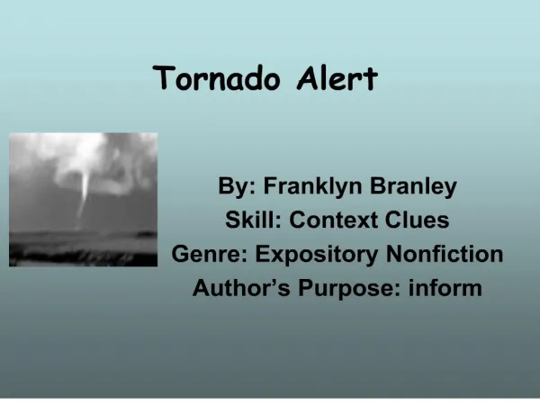
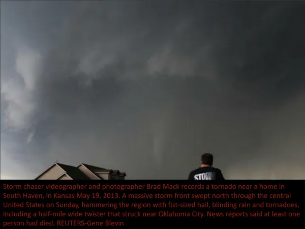
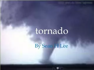
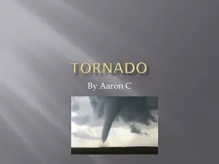
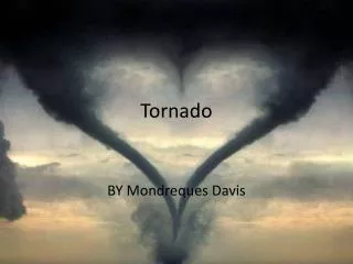
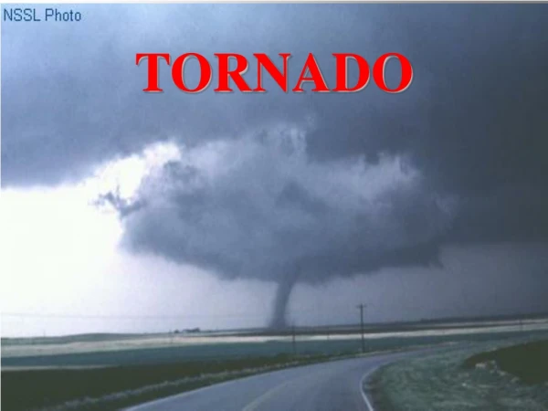
Tornado • A tornado is a violently rotating column of air that is in contact with both the surface of the earth and a cumulonimbus cloud or, in rare cases, the base of a cumulus cloud. They are often referred to as twisters or cyclones,although the word cyclone is used in meteorology, in a wider sense, to name any closed low pressure circulation. Tornadoes come in many shapes and sizes, but they are typically in the form of a visible condensation funnel, whose narrow end touches the earth and is often encircled by a cloud of debrisanddust. Most tornadoes have wind speeds less than 110 miles per hour (177 km/h), are about 250 feet (76 m) across, and travel a few miles (several kilometers) before dissipating. The most extreme tornadoes can attain wind speeds of more than 300 miles per hour (483 km/h), stretch more than two miles (3.2 km) across, and stay on the ground for dozens of miles (more than 100 km). • Various types of tornadoes include the landspout, multiple vortex tornado, and waterspout. Waterspouts are characterized by a spiraling funnel-shaped wind current, connecting to a large cumulus or cumulonimbus cloud.
Formation • As the mesocyclone lowers below the cloud base, it begins to take in cool, moist air from the downdraft region of the storm. This convergence of warm air in the updraft, and this cool air, causes a rotating wall cloud to form. The RFD also focuses the mesocyclone's base, causing it to siphon air from a smaller and smaller area on the ground. As the updraft intensifies, it creates an area of low pressure at the surface. This pulls the focused mesocyclone down, in the form of a visible condensation funnel. As the funnel descends, the RFD also reaches the ground, creating a gust front that can cause severe damage a good distance from the tornado. Usually, the funnel cloud begins causing damage on the ground (becoming a tornado) within a few minutes of the RFD reaching the ground.
Maturity • Initially, the tornado has a good source of warm, moist inflow to power it, so it grows until it reaches the "mature stage". This can last anywhere from a few minutes to more than an hour, and during that time a tornado often causes the most damage, and in rare cases can be more than one mile (1.6 km) across. Meanwhile, the RFD, now an area of cool surface winds, begins to wrap around the tornado, cutting off the inflow of warm air which feeds the tornado.
As the RFD completely wraps around and chokes off the tornado's air supply, the vortex begins to weaken, and become thin and rope-like. This is the "dissipating stage"; often lasting no more than a few minutes, after which the tornado fizzles. During this stage the shape of the tornado becomes highly influenced by the winds of the parent storm, and can be blown into fantastic patterns. Even though the tornado is dissipating, it is still capable of causing damage. The storm is contracting into a rope-like tube and, like the ice skater who pulls her arms in to spin faster, winds can increase at this point. • As the tornado enters the dissipating stage, its associated mesocyclone often weakens as well, as the rear flank downdraft cuts off the inflow powering it. In particular, intense supercells tornadoes can develop cyclically. As the first mesocyclone and associated tornado dissipate, the storm's inflow may be concentrated into a new area closer to the center of the storm. If a new mesocyclone develops, the cycle may start again, producing one or more new tornadoes. Occasionally, the old (occluded) mesocyclone and the new mesocyclone produce a tornado at the same time. • Although this is a widely accepted theory for how most tornadoes form, live, and die, it does not explain the formation of smaller tornadoes, such as landspouts, long-lived tornadoes, or tornadoes with multiple vortices. These each have different mechanisms which influence their development—however, most tornadoes follow a pattern similar to this one.
Contents • 1 Etymology • 2 Definitions • 2.1 Funnelcloud • 2.2 Outbreaksandfamilies • 3 Characteristics • 3.1 Sizeandshape • 3.2 Appearance • 3.3 Rotation • 3.4 Soundandseismology
Rotation • Tornadoes normally rotate cyclonically (when viewed from above, this is counterclockwise in the northern hemisphere and clockwise in the southern). While large-scale storms always rotate cyclonically due to the Coriolis effect, thunderstorms and tornadoes are so small that the direct influence of the Coriolis effect is unimportant, as indicated by their large Rossby numbers. Supercells and tornadoes rotate cyclonically in numerical simulations even when the Coriolis effect is neglected. Low-level mesocyclones and tornadoes owe their rotation to complex processes within the supercell and ambient environment. • Approximately 1 percent of tornadoes rotate in an anticyclonic direction in the northern hemisphere. Typically, systems as weak as landspouts and gustnadoes can rotate anticyclonically, and usually only those which form on the anticyclonic shear side of the descending rear flank downdraft in a cyclonic supercell. On rare occasions, anticyclonic tornadoes form in association with the mesoanticyclone of an anticyclonicsupercell, in the same manner as the typical cyclonic tornado, or as a companion tornado either as a satellite tornado or associated with anticyclonic eddies within a supercell