Download
1 / 10
100 likes | 209 Views
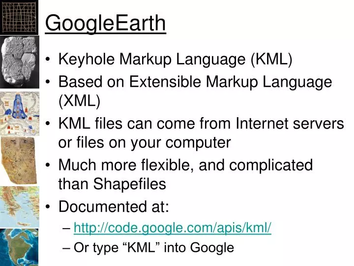
GoogleEarth. Keyhole Markup Language (KML) Based on Extensible Markup Language (XML) KML files can come from Internet servers or files on your computer Much more flexible, and complicated than Shapefiles Documented at: http://code.google.com/apis/kml/ Or type “KML” into Google. 3D Analyst.

E N D
GoogleEarth • Keyhole Markup Language (KML) • Based on Extensible Markup Language (XML) • KML files can come from Internet servers or files on your computer • Much more flexible, and complicated than Shapefiles • Documented at: • http://code.google.com/apis/kml/ • Or type “KML” into Google
3D Analyst • ArcToolbox -> Conversion Tools -> To KML • Layer to KML • Converts one layer to a KMZ file • Map to KML • Converts an entire map document (“.mxd”) to a KMZ file • KMZ is a “zipped” KML
XML <tag attribute=‘value’/> <tag> Content </tag> <tag> <nestedtag/> </tag
Simple KML <?xml version="1.0" encoding="UTF-8"?> <kml xmlns="http://www.opengis.net/kml/2.2"> <Document> <Placemark> <name>Simple placemark</name> <description>Description</description> <Point> <coordinates> -122.0822035425683, 37.42228990140251, 0 </coordinates> </Point> </Placemark> </Document> </kml>