Download
1 / 35
360 likes | 517 Views
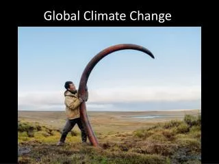
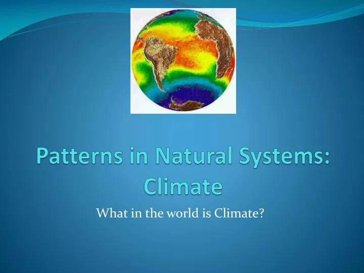
Patterns in Natural Systems: Climate. What in the world is Climate?. What is Climate?. Climate is the long-term average of weather conditions at a particular place . How is this different from Weather? Weather is the day to day conditions of the atmosphere in a specific area. .

E N D
Patterns in Natural Systems: Climate What in the world is Climate?
What is Climate? • Climate is the long-term average of weather conditions at a particular place. • How is this different from Weather? • Weather is the day to day conditions of the atmosphere in a specific area.
Factors that affect Climate • There are several factors that affect climate. These are: Latitude/The Sun’s Rays Wind Systems Air Masses • Ocean Currents • Mountain Barriers • Bodies of Water
Climate Factor:Latitude/The Sun’s Rays • The effect of the sun is the most important factor, as its heating rays create different climates in different parts of the earth. • Near the Equator, the rays strike directly, making them concentrated and intense. • Farther away from the equator, the rays are spread over a larger area because of the curve of the earth, so the heat is much less intense. • The earth is tilted at an angle of 23.5 degrees
Climate Factors: Latitude Why do we have different seasons than other countries? • While the earth spins around, it orbits the sun, always tilted in the same direction. As a result, the Northern and Southern Hemispheres receive direct overhead rays of the sun at different times of the year. When we have summer in the Northern Hemisphere, it is winter in the Southern Hemisphere. • Explore the Earth's yearly revolution around the sun.
Climate Factor:Wind Systems • Winds are movements of air across the earth’s surface. • Warm air is light and rises, while cool air is dense and sinks • Winds can cause warm weather out west in the middle of winter. • Winds can blow from West to East causing changes in the weather, these are called prevailing Westerlies.
Climate Factor: Air Masses • Winds blow out of Air Masses • Air masses are large, moving pockets of air • Each air mass has the same temperature and humidity throughout the pocket of air. • Each air mass is strong and stays together. • Air masses develop above parts of the earth that have similar characteristics (What do we call these???) Such as the ocean or a large forest.
Climate Factor: Air Masses • Sometimes warm, moist air from the Gulf of Mexico moves north to create a warm front where it rides up over the cooler air in front of it. This causes clouds to form, and precipitation usually follows. • At other times, cold, dry air from the Arctic moves southward along a cold front, which could cause thunder and lightning. • The arrival of a new air mass usually causes precipitation, which we will learn about a bit later
Climate Factor:Ocean Currents • The surface winds of the planet help circulate the water in the oceans. • Currents of warm water flow away from the equator, along the coastlines of the continents. • Cold currents flow back towards the equator from the polar oceans. • The temperature of the water affects the temperature of the area around the water
Climate Factor:Mountain Barriers • Mt. Kilimanjaro has the tallest peak in the world. It is located in Tanzania Africa. • There is snow there all year round. WHY??
Climate Factor:Mountain Barriers • When air rises through the atmosphere, it cools and condenses into clouds. This occurs because air temperatures become steadily colder with distance above sea level. • Places at high altitudes are much cooler than nearby places at lower altitudes.
Climate Factors: Bodies of Water • Bodies of water like the lake or ocean make temperatures more comfortable • Areas close to large bodies of water receive the most precipitation. They often have warm summers and cool winters. • Areas inland are not moderated by water bodies. They have a continental climate, with hot summers and cold winters. The climate is drier than those near large bodies of water.
Climate Factors • What are the factors that affect climate? • What are their characteristics?
Climate • Global temperatures range from tropical heat to polar cold. • There are 5 major climate regions across the world • Polar • Temperate • Tropical • Desert • Continental
Map of World Climate Regions • What climate does most of Canada fall under?
Polar Climate • The earth’s surface is curved, so various latitudes have different temperatures • When the sun’s rays fall close to the poles, they are widely scattered because they strike the sphere at a sharp angle. • In winter, light reflecting upwards into the sky creates the northern lights.
Verkhoyansk • Verkhoyansk, Russia has a polar climate, as does most of Siberia.
Temperate Climate • Temperate climates have a “Mid-Latitude” location, and has moderate temperature conditions all year round. • Perth, Australia is located between the equator and the South Pole, and is a good example of temperate climate. • The sun’s rays hit the earth’s surface at a slight angle, enough to make solar energy less intense than closer to the equator.
Tropical Climate • Areas near the equator have hot temperatures in every season. • These tropical areas usually have a lot of moisture. • These areas include most of Africa, Central America, South Africa, Coastal India, Southeast Asia.
Desert Climate • Also known as “Arid” • There is little to no precipitation in these areas • Areas such as Egypt, Saudi Arabia, parts of Mexico, Dubai and Iraq can be considered to be hot desert climate • There are areas that have a cold desert climate. These include parts of China
Continental Climate • Continental Climates consist of areas that have hot summers and cold winters. The climate includes precipitation, however is drier than areas that are closer to bodies of water. • These areas are usually good for farming and vegetation. • Examples of Continental Climate include Southern Canada, North Eastern US, parts of China, most of Russia, Northern Japan, parts of Sweden and Norway.
Follow Up Questions • If your family was thinking about moving to Australia from Canada, when would you recommend moving? At the beginning of February, July, or December? Explain the reason for your choice. When would you move back? Why? • What are the 5 types of Climate regions? • Why is it so cold in the polar regions? • Why is it so hot in the regions around the equator?
Climate Graphs • Geographers make graphs and interpret climate statistics. A climate graph shows typical temperature and precipitation information by month at a particular place. • It is a long term average of daily weather conditions.
Climate graphs • Climate graphs combine a line graph and a bar graph. • A red line (like a thermometer) is used to show temperature. • A blue line (like cylinders of water) indicates monthly precipitation.
Calculations • Mean Temperature: Add all temperature together and divide by number of months (12) • Total Precipitation: Add all precipitation together. If the precipitation = <1000mm, it is considered to be Continental climate, if it is >1000mm, it is considered to be a Maritime climate. • Temperature range: Maximum temperature – minimum temperature
Calculations • Growing Season: number of months above 6 degrees Celsius – note when the months are. • Snowfall – number of millimetres of precipitation for the months where the temperature is at or below 0 degrees celsius. • Rainfall – number of millimetres of precipitation for the months where the temperature is above 0.