Download
1 / 6
60 likes | 65 Views
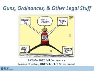
This article discusses the implementation of geoinformation laws and ordinances in the field of cadastre on public-law restrictions of property rights. It highlights the need for reliable and complete information and the role of geomatics in resolving the challenges.

E N D
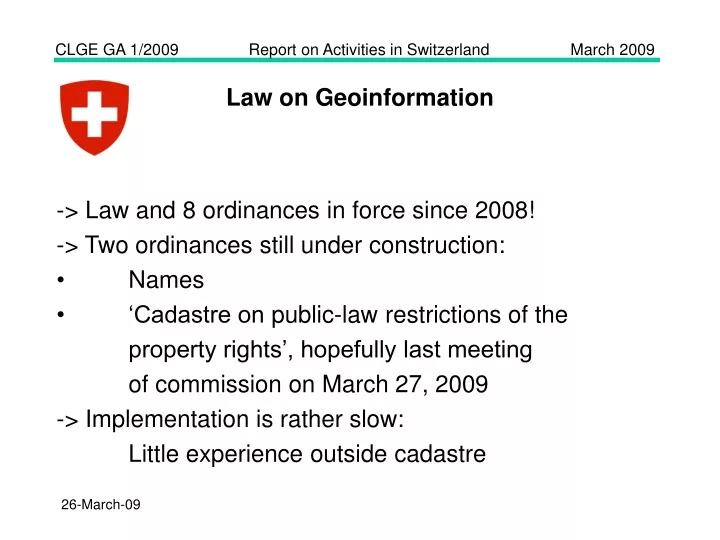
Law on Geoinformation • -> Law and 8 ordinances in force since 2008! • -> Two ordinances still under construction: • Names • ‘Cadastre on public-law restrictions of the • property rights’, hopefully last meeting • of commission on March 27, 2009 • -> Implementation is rather slow: • Little experience outside cadastre
Building a National Spatial Data Infrastructure is not easy! Expected Reality
Cadastre on public-law restrictions of the property rights • More and more • people understand: • the registers tell • the citizens only • half of the truth • more complete • information is • needed
Cadastre on public-law restrictions of the property rights • More and more • people understand: • better information • is needed, • the infomation • provided must • be reliable • Geomatics has • the tool to resolve • the problem
geosuisse, policy fields of busi-ness activities space related activities tools/methods tasks strategy visions/goals space policy political activities measures and projects for the implementation of the policy management LAND MANAGEMENT land use planning land consolidation land reallocation melioration landscape dev. land recycling land (space) management administra- tion active handling of spatial information Data exploitation, visualization, crea- tion of reports land (space) administration monitoring navigation geoinformation land registration cartography surveying geodesy documen- tation cadastre operation data modelling, data acquisition, data maintenance land (space) documentation GEOMATICS
geosuisse, improvement of profile -> promotion of land consolidation in new law on physical planning as tool for successful implementation -> image improvement campaign • -> Education: • Programme for Surveyor and Landmanager • New curriculum for Geomaticien, start 2010