Download
1 / 13
130 likes | 234 Views
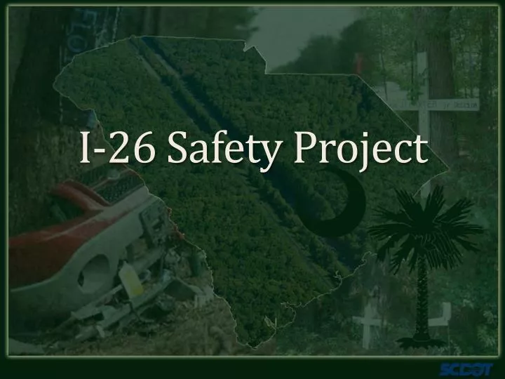
I-26 Safety Project. Project Corridor. I-26 between I-95 and Summerville Number one and three ranked location for interstate safety improvements AADT = 32,433 Posted S/L = 70 mph Crash Stats: January 2007 t hrough November 2011 Total Crashes = 1934 Total Fatalities = 44

E N D
Project Corridor I-26 between I-95 and Summerville • Number one and three ranked location for interstate safety improvements • AADT = 32,433 • Posted S/L = 70 mph • Crash Stats: January 2007 through November 2011 • Total Crashes =1934 • Total Fatalities = 44 • Total Injuries = 709 • 50% Run off Road Crashes • Post and Courier coined the phrase “Corridor of Death” in 2010 articles
Project Corridor Safety Data • Existing Median Width = 84’ – 86’ • Existing Median Shoulder = 2’ - 3’ (paved) • Distance from travel way to tree line = 25’ • Clear Zone Distance = 46’ Berkeley Dorchester
Project Corridor Safety Data ** Vehicular speeds were estimated by investigating officer to be within posted speed limits.
Project Corridor Safety Data 0 US 17 ALT I-77 CYPRESS SWAMP US 601 US 301 US 21 I-95 FOUR HOLE SWAMP
I-26 Safety Alternatives Remove obstacles Provide clear zone clearing of median Median consists primarily of pines with light mixture of hardwoods environmental permit required Standard cable rail to be installed in center of median Initial cost estimate of $5M Would prepare median for future widening
I-26 Safety Alternatives Shield Obstacles High tension cable rail only feasible option due to close distance of trees and existing shoulder slopes • Cable would be required for both directions of I-26 • Initial cost estimate of $10M • Considerable maintenance, repair and traffic impact concerns
Project Details Existing Conditions Total Length of project corridor – 29.6 Miles Total Length of Existing Guardrail along median– 2.2 Miles Median Length with no existing trees – 2.6 Miles Median Length with existing median cable rail – 0.9 Miles Median width occupied by trees – 36 feet maximum Wetlands within Project Limits – 4.2 Acres Overlap with Existing Projects Sheep Island Interchange I-26 Widening (Jedburg Road)
Preferred Alternative Details Alternative Feature Exclude median areas protected by existing guardrail Extension of existing steel beam guardrail in areas of steeper slopes 1.8 Miles of new steel beam guardrail Reduce tree impacts to only the trees necessary to allow for the installation of the guardrail Wetland impacts reduced from 4.2 to 1.9 acres SCDOT has received authorization from the Army Corps of Engineers based on these conditions
Preferred Alternative Details Alternative Considerations No glare shield provided Median width greater than 20 feet Can accommodate emergency crossovers and will bring up to standards with coordination with the local emergency agencies
Preferred Alternative Details Alternative Elements 23.0 miles of clearing, grubbing, dressing and grassing of the median ( 6 miles overlaps with the I-26 widening and Sheep Island Parkway Interchange) 24.7 miles of median cable rail 1.8 miles of new steel beam guardrail