Download
1 / 22
220 likes | 321 Views
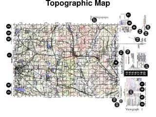
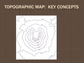
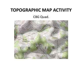
Created by: Samantha Cassman. Cambridge topographic map. Each state is made up of townships, each township is divided into sections. Each township is 6m by 6m. The number in the middle is the section of that town. A circle with lines going into it is called a depression.

E N D
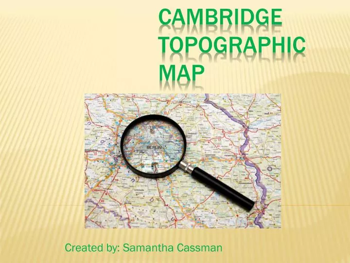
Created by: Samantha Cassman Cambridge topographic map
Each state is made up of townships, each township is divided into sections.
Each township is 6m by 6m. The number in the middle is the section of that town.
A circle with circles getting smaller on the inside is called a hill.
The green in and around the swamp or marsh indicates a wooded marsh/swamp.
The red and white dashed lines on a map indicate a secondary highway.
These numbers are the township number. You use these to help you find the section you’re looking for in that town, the individual red numbers.
Lakes are usually labeled on the map. The smaller water areas that look like water are still lakes and ponds.
The dots and dashes in this lake indicate that it’s an intermittent lake.
Larger cemeteries are represented by the first three letters, Cem.
The square/rectangular shapes in different areas of the map indicate a building is there.
The building with a cross on the top of it indicates a church.
Congratulations!!! You just learned the basics of the topographic map!
Works Cited Images: Knapp, Jeff L. Online. www.geo-site.net Topographic map, Cambridge MN. Google Images.