Download
1 / 10
100 likes | 315 Views
Monitoramento dos Biomas Brasileiros. CAATINGA. 2008 - 2009. Brasília-DF Junho de 2011. METODOLOGIA. Mapas de referência: Mapa de cobertura de terras do bioma (PROBIO ano-base 2002) + mapa de desmatamento de 2002-2008; Materiais básicos: Imagens do satélite LANDSAT de 2009.

E N D
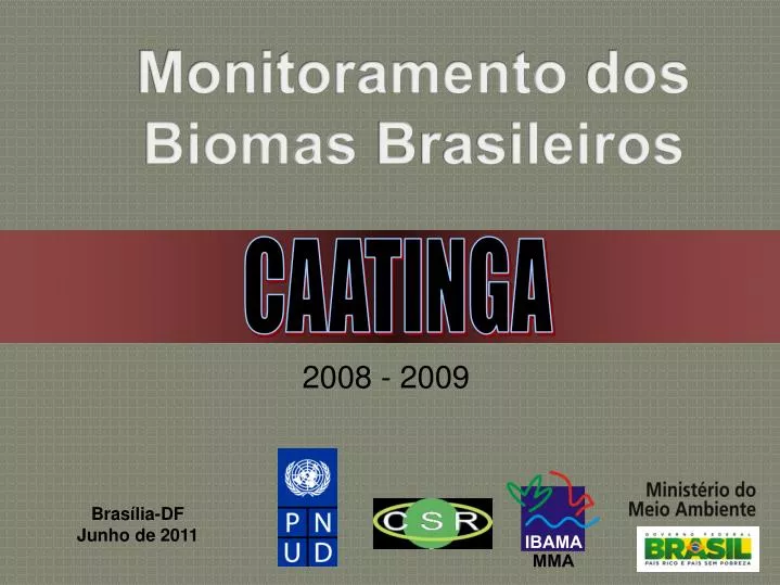
Monitoramento dos BiomasBrasileiros CAATINGA 2008 - 2009 Brasília-DF Junho de 2011
METODOLOGIA Mapas de referência: • Mapa de cobertura de terras do bioma (PROBIO ano-base 2002) + mapa de desmatamento de 2002-2008; Materiais básicos: • Imagens do satélite LANDSAT de 2009. Principal produto: • Estimativa de desmatamento no período 2008-2009.
IDENTIFICAÇÃO DE DESMATAMENTO NA IMAGEM LANDSAT DE 2009 Máscara com desmatamentos antigos (anterior a 2009) Identificação de novas áreas desmatadas
Exemplo de mapeamento sistemático por carta topográfica (escala 1:250.000)
DESMATAMENTO NO BIOMA CAATINGA Desmatamento concentrado nos Estados de Bahia, Ceará e Piauí. Tamanho dos polígonos referente ao antropismo até 2009 está exagerado para melhor visualização
HISTÓRICO DE DESMATAMENTO NA CAATINGA ÁREA DO CAATINGA: 826.411km2 ÁREA DESMATADA (2002-2008): 14.113,59 km2 (2.352,26 km2/ano; taxa média de 0,28%ano) ÁREA DESMATADA (2008-2009): 1.921 km2 (equivalente a 0,23%/ano)
DESMATAMENTO DO CAATINGA POR ESTADO (2008-2009)
20 MUNICÍPIOS QUE MAIS DESMATARAM NO BIOMA CAATINGA (PERÍODO 2008-2009)