Download
1 / 16
160 likes | 263 Views
EEA’s approach of implementing SEIS through Eye On Earth. October 2011. Governance – The Shared Environmental Information System. The SEIS principles are basis for EEA‘s EyeOnEarth work Data and information are: Managed as close as possible to its source.

E N D
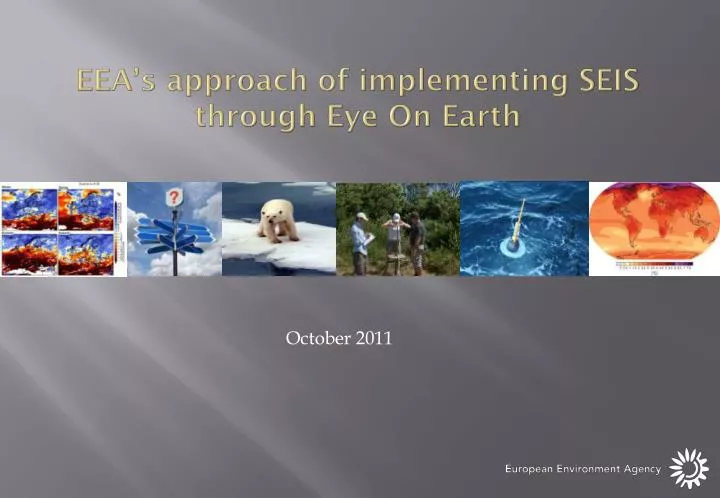
EEA’s approach of implementing SEIS through Eye On Earth October 2011
Governance – The Shared Environmental Information System • The SEIS principles are basis for EEA‘s EyeOnEarth work • Data and information are: • Managed as close as possible to its source. • Collected once, and shared with others for many purposes. • Readily available to easily fulfil reporting obligations. • Easily accessible to all users. • Accessible to enable comparisons at the appropriate geographical scale, and citizen participation. • Fully available to the general public, and at the national level in the relevant national language(s). • Supported through common, free open software standards.
Content: Thematic areas and data sources • Water • Rivers, lakes • River basin districts • Bathing waters status • Climate change • Meteorological data • Droughts • Precipitation • Land • CORINE land cover and changes • Nature/ • Biodiversity • Natura2000 • Biogeographic regions • Species • Ecological regions • Air • Zones and air quality thresholds • Air quality database • Noise
Based on EEA’s (and partners) ready web services http://discomap.eea.europa.eu/
Overall infrastructure – Overview Data providers Internal SDI External SDI Community access Commercial Data providers EEA SDIData repository Data warehouse Eye on Earth (communities) Web services MemberCountries Thematic Experts(European topic centres) Web Applications ES DK ... FR NL Outside EEA Other institutions JRC ... UNEP DG Env ESA GMES MACC WHO
Web-services accessible to a wider public Web services File based sources ArcGis – Esri web-services WMS – OGC services KML – OGC / Google services GPX – GPS Exhange format KML – Google keyhole file CSV – Comma seperated file SHP – Esri Shape file Intelligent tools Applications
Data & service market My statistics My observation My location Citizen Data Operational Layers Basemaps
Social media integration Floods in Europe Floods in Twitter and Flickr
Global release at the eye on earth summit Abu Dhabi12 – 15 December 2011 All EEA Applications and available web-services + Some from external Int. Org. + Some from countries.