Download
1 / 19
210 likes | 518 Views
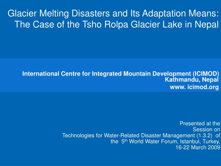
Glacier Melting Disasters and Its Adaptation Means: The Case of the Tsho Rolpa Glacier Lake in Nepal. International Centre for Integrated Mountain Development (ICIMOD) Kathmandu, Nepal www. icimod.org. Presented at the Session on

E N D
Glacier Melting Disasters and Its Adaptation Means: The Case of the TshoRolpa Glacier Lake in Nepal International Centre for Integrated Mountain Development (ICIMOD) Kathmandu, Nepal www. icimod.org Presented at the Session on Technologies for Water-Related Disaster Management (1.3.2) of the 5th World Water Forum, Istanbul, Turkey, 16-22 March 2009
Outline of the Presentation Climate change, melting glaciers, and glacial lake outburst floods (GLOFs) in the Himalayan Region WMO/GWP Integrated Flood Management Approach Integrated approach to GLOF risk management: Structural measures: An example of the Tsho Rolpa lake Non-structural measures: • Risk assessment exercises (hydrodynamic modeling and inundation mapping) to develop a disaster management plan • Early Warning Systems Participatory process involving local communities The Way Forward
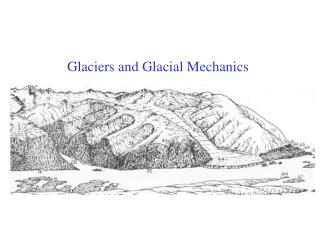
Himalayan glaciers are shrinking more rapidly than elsewhere Dyurgerov and Meier, 2005
Potentially Dangerous Glacier Lakes in Kosi Basin About 54% of the catchment area lies in Tibet
Chubung Lama Bagar Rolwaling Khola Tsho Rolpa Glacier Trakarding Tama Koshi Synoptic View of Tsho Rolpa
Terminus of Trakarding Glacier Retreat rate, 66m/yr,1957-2000
Retreat of Trakarding Glacier & Growth of Tsho Rolpa Lake Successive development of the Tsho Rolpa Glacial Lake from 1957 to 2000
Lake and Dam Characteristics Glacier lake: • Surface area: 1.76 sq km (2002) • Volume of water: 100 cum • Altitude: 4,580m (at the glacier terminus) Natural moraine dam: • Height: 150m • Thickness: variable, 50m - 70m
Objective of the GLOF Risk Reduction Project To reduce therisk of breaching of the natural moraine dam on the Tsho Rolpa Glacier Lake by lowering the water level by 3 meters (Construction period: April-October 1999; April-May 2000)
Salient Features of the Risk Reduc tion Technology • Outlet channel on the end moraine: 70m long, 4.2m wide at the bottom, 3m deep • Gate structure, comprising of 3 gates, to regulate the flow
Outputs of the project • 3m drawdown achieved in late June 2000: drawdown started on June 8th and its rate was maintained well below the allowed 25 cm each day • Field research accomplished: topography, geophysical, bathymetry, climate
Tsho Rolpa Glacial Lake Ice and rock fall can cause destructive waves Permafrost is melting
The Next Step Need to reassess the GLOF hazard presented by Tsho Rolpa, which will include detailed field investigations as well as modeling exercises
Conclusions An integrated approach could help GLOF risk management : It is necessary to supplement satellite-based investigations with field-based investigations for assessing GLOF event risks and monitoring the status of glacier lakes. Structural DRR measures, such as an outlet channel with regulating gate structure may help to prevent GLOF events. It is necessary to reduce the vulnerability of areas downstream by implementing a disaster management plan incorporating early warning systems (EWS). Hydrodynamic models would help to estimate the travel times of peak flood. Inundation maps would help to provide information necessary for planning locations of various installations related to EWS. Local communities should be involved in the risk management process.