Download
1 / 38
380 likes | 552 Views
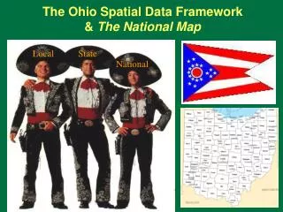
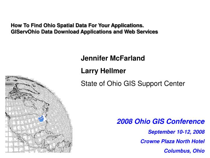
2008 Ohio GIS Conference September 10-12, 2008 Crowne Plaza North Hotel Columbus, Ohio. How To Find Ohio Spatial Data For Your Applications. GIServOhio Data Download Applications and Web Services. Jennifer McFarland Larry Hellmer State of Ohio GIS Support Center. Topics Covered.

E N D
2008 Ohio GIS Conference September 10-12, 2008 Crowne Plaza North Hotel Columbus, Ohio How To Find Ohio Spatial Data For Your Applications. GIServOhio Data Download Applications and Web Services Jennifer McFarland Larry Hellmer State of Ohio GIS Support Center
Topics Covered • Places to download data from GIS Support Center • Types of Data available • Web Applications to download data • Arc IMS Services of Data available • Informative Websites • Metadata • Listserv
Data Available for Download • LBRS Data • OSIP Imagery, LiDAR • DLGS, DOQQ’s, DRG’s, DEMS • Various other data found from Metadata Explorer
LBRS data • The LBRS is a County/State partnership that gathers accurate locational information on all roads and addresses in a county. The information is used to save lives and save taxpayer dollars by reducing redundant data collection activities.
LBRS Data Distribution • LBRS Data Download Page • http://gis1.oit.ohio.gov/geodatadownload/lbrs.aspx • Arc IMS Service – from Arc Map or OGC Compliant Service for other GIS applications • http://gis1.oit.ohio.gov • http://gis1.oit.ohio.gov:80/wmsconnector/com.esri.wms.Esrimap/LBRS_Image? • Coming Soon ArcGIS Server Data Download map
OSIP Data • The Ohio Statewide Imagery Program (OSIP) is a partnership between State agencies and the federal government to develop high-resolution imagery and elevation data for the entire state to benefit Geographic Information System users at all levels of government. Accurate imagery and elevation data serves as the backbone for the development of additional data sets that are currently maintained and accessed by government decision makers and the public.
OSIP Data Distribution • OSIP Data Downloads page • http://gis3.oit.ohio.gov/geodata/ • Arc IMS Services • OSIP Download Map • http://gistest2.oit.ohio.gov/osipdownloadmap/osip.aspx
DLGS, DOQQ’s, DRG’s, DEMS • Data Download Page • http://ogrip.oit.ohio.gov/ServicesData/GeodataDistribution.aspx • Data Download Map • http://gistest2.oit.ohio.gov/geodatadownloadmap/usgs.aspx • Arc IMS service for DRG’s • http://gis1.oit.ohio.gov
GIServ Image Services • Several Image Services for Use in GIS Software • Services include • OSIP Services – North and South data available • NAIP – 2004, 2005, 2006 • Places 2 Protect • CIR of OSIP • Parcels • LBRS – • DRG’s • Basemap • Weather Radar (updated every nine minutes) • Rain Gages
Information Websites • OSIP Status Map • http://gis1.oit.ohio.gov/website/osip/viewer.htm • Simple Viewer with OSIP Imagery and status of counties. • Can zoom in and out on counties and turn imagery on and off. • LBRS Status Map • http://gis1.oit.ohio.gov/website/lbrs/viewer.htm • Simple Viewer with LBRS Status • Can zoom in and out on counties and identify features in LBRS Layers
Listserv • Purpose of the listserv is to facilitate communication amongst individuals interested in spatial technology and GIS issues impacting Ohio. • This listserv will also be used to announce meeting dates, conferences and educational opportunities
Lyris Listserv • To Subscribe • Send a blank email message to subscribe-ogrip_forum@list.em.ohio.gov • You will need to confirm subscription • To Send an Email • Compose your e-mail message and send it to ogrip_forum@list.em.ohio.gov. • Attachments are limited to 10MB. • To Unsubscribe • Send a blank e-mail to unsubscribe-ogrip_forum@list.em.ohio.gov
Metadata • Provides access to over 29,000 Federal and State spatial data sets covering Ohio • 5,000 of these data sets are fully described in the Ohio Metadata Server • Online searchable catalog that links users with spatial data sets and resources • http://metadataexplorer.gis.state.oh.us/metadataexplorer/explorer.jsp
Metadata • All data is Harvested weekly by Feds and Searchable on the Geospatial One Stop. • If you have metadata good time to add it to the Metadata Explorer • Every week GISSC gets several data requests and we point users to Metadata Explorer first
GISSC Metadata • Contact Jennifer McFarland for login and password • Jennifer.mcfarland@ohio.gov • 614-644-0635
For More Information • Go to the OGRIP Website • http://ogrip.oit.ohio.gov