Download
1 / 8
80 likes | 189 Views
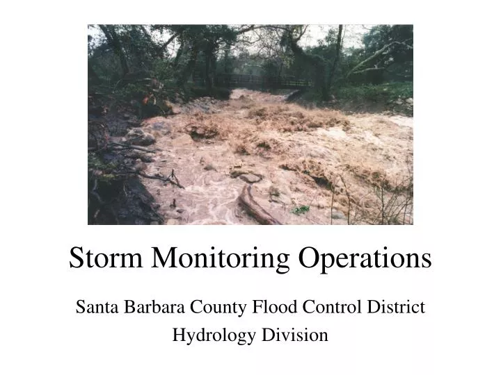
Storm Monitoring Operations. Santa Barbara County Flood Control District Hydrology Division. Overview of Operations. Confer with meteorologists to assess timing and severity of predicted storms. Monitor “real time” data from remote weather stations and stream gages during storm event.

E N D
Storm Monitoring Operations Santa Barbara County Flood Control District Hydrology Division
Overview of Operations • Confer with meteorologists to assess timing and severity of predicted storms. • Monitor “real time” data from remote weather stations and stream gages during storm event. • Run SYR model to predict potential timing, magnitude and location of flooding. • Coordinate with emergency services, other County agencies and the media.
The ALERT SystemAutomated Local Evaluation in Real Time • Field Stations • Radio Repeaters • Base Station Receiver/Decoder • Flood Warning Software
Field Stations Weather Station Stream Gaging Station
Repeater Frequencies Twitchell Rx 171.85 Tx 71.85 Plowshare Rx 171.85 Tx169.5 Figueroa Rx 169.5 Tx 170.3 La Cumbre x 170.3Tx 171.05 Plowshare Pk Sudden Rx 169.5 Tx 170.3 Twitchell Base Station Rx 171.05 Santa Maria Figueroa Mtn Sudden Pk La Cumbre Pk Repeater To Twitchell To Plowshare To LaCumbre Santa Barbara Base Station To Figueroa To Sudden Peak To Base Station ALERT Network
Agency Coordination • National Weather Service • County OES, Roads, others • United States Bureau of Reclamation • United States Geologic Survey • Flood Control field staff • Vandenberg Air Force Base • Cloud Seeding Administrators