Download
1 / 25
250 likes | 439 Views
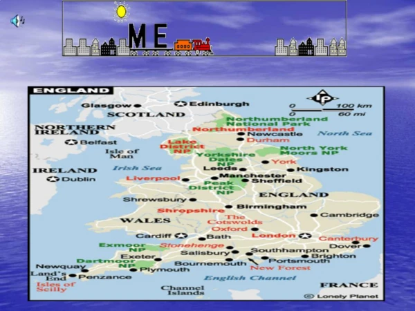
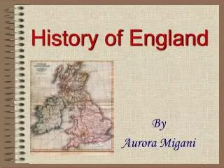
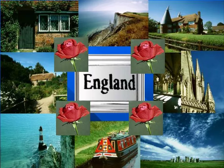
Map of England. Facts about England. Area: 130,423 square kilometres Population: 50,000,000 Capital: London. National Flower - the rose. Currency: Pound Sterling. Highest Point…. Highest Point: Scafell Pike (978 m). Scafell Pike. The Peak District and the Lake District.

E N D
Facts about England • Area: 130,423 square kilometres • Population: 50,000,000 • Capital: London
Highest Point… Highest Point: Scafell Pike (978 m)
The Peak District and the Lake District Much of England consists of flatland or hills. The Peak District and the Lake District are exceptions. Thousands of tourists visit these areas every year to hike in beautiful surroundings.
The English Canals were built to transport goods. At the time there were no roads. Building Canals was cheaper than building roads. Today you can rent a narrowboat and cruise the canals.
There are many castles in England. Most of them were built in medieval times.
Warwick Castle is one of England's finest examples of a medieval Castle. With over a thousand years of history, this castle was first fortified by William the Conqueror in 1068. This is one of the UK's most visited attractions. Warwick Castle
Cambridge in Cambridgeshire • Cambridge is an old university city in south-east England. • Some of the oldest universities can be found here. • The city got its name from the river Cam. • On this river you can see some peculiar boats called punts.
What is punting?Punting is one of Cambridge’s chief attractions. Punts are flat-bottomed boats. They are usually steered with a long pole (about 10 foot long).
County Map of England This map shows the current but often changing Government Administrative counties of England. These are the counties you will find on most maps and road atlases. County Key:Yorks = Yorkshire, Wars = Warwickshire, Leics = Leicestershire, Mancs = Manchester, Lancs = Lancashire, Derbys = Derbyshire, Staffs = Staffordshire, Notts = Nottinghamshire, Shrops = Shropshire, Northants = Northamptonshire, Herefs = Herefordshire, Worcs = Worcestershire, Bucks = Buckinghamshire, Beds = Bedfordshire, Cambs = Cambridgeshire, Herts = Hertfordshire.
Cornwall • Cornwall lies in the south-western part of England. • Cornwall is considered to be very extraordinary for at least two reasons. • They have their own language, Cornish, which is a Celtic language. Not many people speak it today. • Cornwall is extremely beautiful and is a paradise for hikers and birdwatchers.