Download
1 / 24
240 likes | 245 Views
SEEA-Water. System of Environmental and Economic Accounting for Water. SEEAW. Desertification First Call (2011). SEEAW. Desertification First Call (2011). SEEAW. Remarks / Main conclusions.

E N D
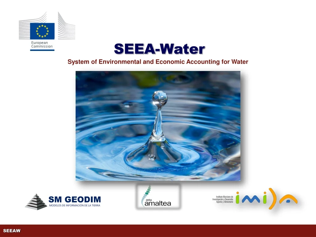
SEEA-Water • System of Environmental and Economic Accounting for Water SEEAW
Remarks / Mainconclusions SEEAW provides a conceptual framework for organizing the hydrological and economic information in a coherent and consistent manner. Financial Balance of water uses. SEEAW provides a guidelines of indicators to monitor the interaction between environment and economy. SEEAW tables’ structure supply the creation of new indicators. To work under an “Integrated basin management” concept. Coordination between countries in International basins. To develop a complete modeling of river basin. To develop a glossary of terms clarifying the used concepts in SEEA-Water tables. Improve accuracy of data with high level of uncertainty: lakes depth, groundwater stocks… Different spatial & temporal resolution of Economical and Hydrological data: disaggregation of economical data at municipality level. User Requirements of water authorities: definition of spatial & temporal units of work. SEEAW • Strongpoints and toimprove
What’s SEEA-Water? The System of Environmental-Economic Accounting for Water (SEEA-Water) provides a conceptual framework for organizing the hydrological and economic information in a coherent and consistent manner, following internationalstandars (SCN 1993 and SCAE-2003). The set of tables, standard and supplementary, were designed with the objective of facilitating the compilation of the accounts in countries and to obtain information which is comparable across countries and over time. Water Economy SCN 1993 SEEAW
Categories of accounts Fivecategories of accounts: Category 1: Physical supply and use tables and emission accounts. Category 2: Hybrid and economic accounts. Category 3: Assetaccounts. Category 4: Qualityaccounts. Category 5:Valuation of water resources. Flows between the economy and the environment SEEAW
SEEA-WaterTables MainTables NationalAccounts: WastewaterMgmt. WaterManagment & Exploitation FinancingAccounts: WastewaterMgmt. WaterManagment & Exploitation HybridSupply and Sewerage forownuse AssetAccount HybridSupply and Use SupportingTables HybridUse HybridSupply LEYEND Water (Hm3), Economy (€), Emissions(Tm), Multiple Information (Hm3, €, Tm) Govermentaccount Collectiveconsumption Services PhysicalUse Emissions PhysicalSupply SEEAW
SEEA-Water Data Model SEEAW
SEAA-Water Data Load SEEAW
Hydrological Models In Spain, Water Authorities made hydrological simulation of the basin and its management through numerical physically based models. Balances operates with monthly scale and with series of climatic variables (rain, temperature, runoff) with more than thirty-years of knowledge Climatic data Physical aspect of the basin Data aboutwater use Regulationservices and transport Precipitation-Input Simulation Model SIMPA Basin Management Model AQUATOOL Characterization of water resources Water resources allocation http://www.upv.es/aquatool/aquatooldma.html http://hercules.cedex.es/hidrologia/pub/proyectos/simpa.htm SEEAW
Hydrological Models Rainfall-runoff model (SIMPA), calibrated at gauging stations with near-natural flow regime. Characterization of water resources in natural flow regime. Rainfall (mm) Actual evapotranspiration (mm) The results are provided by raster maps for each hydrological variable and each month of the simulated period (1940/41-2011/2012). Soil water (mm) Total runoff (mm) SEEAW SIMPA
Guadiana basin hydraulic scheme Basin water resources balance in altered flow regime Geografic adjustment The model includes the Portuguese part SEEAW AQUATOOL
Economical Data • National Statistic Institute (INE)http://www.ine.eshttp://www.ine.pt • Implemented Data: • Water related costs and benefits for economic sectors. • Unitary cost of water for industries and households. • Costs, benefits and capital formation for water collection and sewage disposal industries. • Government: Financial costs of water. Taxes on water. • Public investment for water supply, wastewater management and environmental protection. • Problems: • Integration of hydrological and economic data. • Different spatial and temporal framework: state/ river basin, reference year: Availability of actual economical data. • Different spatial and temporal disaggregation of data: municipalities / exploitation units, year/month. • Different economic sector disaggregation: generic/specific for water management. • Data gaps: • Unitary cost of water for agriculture. Costs and benefits for energy industries. SEEAW
Demands by exploitation systems www.seeawater.eu SEEAW • Hybrid Tables: Demands by explotation systems
Total Grossvalueadded www.seeawater.eu SEEAW • Tablas económicas: Valor añadido bruto total
Indicators derived Indicators of Water Resource (WR) Availability: Internal Renewable WR External Renewable WR Total Natural Renewable WR Total Actual Renewable WR Dependency ratio Exploitable WR Per capita Renewable Resource Density of internal Resource Exploitation Index Consumption Index Indicators of Water Intensity & Water Productivity: Water use & Pollution intensity Water & Pollution intensity Water Productivity ratios Water “pollutivity” ratios Indicators of Opportunities to Increase effective water supply: Return flows Water Reuse Losses Indicators for Cost & Price of Water and wastewater Services: Cost & Price of water Cost & Price of wastewater treatment services Tables: Asset accounts Matrix of flows Asset account at national level Tables: Matrix of flows Supplementary table of losses in distribution Tables: Physical Use & Supply Hybrid supply table Hybrid use table Tables: Hybrid supply & use table Hybrid supply & sewerage table SEEAW
WWDR Indicators ResourcesIndicators (K & D): Precipitationannually Total actual renewableresources (TARWR) volume TARWR per capita Surfacewater as a percentage of TARWR Groundwater development Overlap as a percentage of TARWR Inflow as a percentage of TARWR Outflow as a percentage of TARWR Total use as a percentage of TARWR AgricultureIndicators (K) Percentage of undernourishedpeople Percentage of poorpeople living in rural areas Relativeimportance of agriculture in theeconomy Irrigatedland as a percentage of cultivatedland Importance of agriculturewithdrawals in water balance Extent of landsalinazedbyirrigation Importance of groundwater in irrigation Global Indicators (K): Index of non-sustainablewater use Urban and rural population Domestic & industrial water use Waterpollutionindex Sedimenttrappingefficiency Climatemoistureindex Waterresueindex Tables: Asset accounts Physical Use & Supply Hybrid supply & use table Tables: Physical Use & Supply Asset accounts Tables: Asset accounts Physical Use & Supply WWDR: WorldWaterDevelopementReport. K: Key indicators; D: Developingindicators; C: Conceptual indicators SEEAW
WWDR Indicators SharingIndicators (C): Waterindependencyindicator Cooperationindicator Vulnerabilityindicator Fragilityindicator Developmentindicator Valuing Indicators (D): Water sector share in total public spending Rate of cost recovery Water charges as percent of households income Tables: Hybrid supply & use table Tables: Asset accounts WWDR: WorldWaterDevelopementReport. K: Key indicators; D: Developingindicators; C: Conceptual indicators SEEAW
FAQs WhyrealisedWater Balances? Allow a coherent view of the water supply and demand of a basin. Establish water management operation rules in the basin. Aim to provide an objective framework for the water resources allocation according to the Basin Management Plan. Whycreated a standarfortheprovision of Economical Data? Because information flow goes from Statistical National Institutes to water managers. Establish a normalization would facilitate the work of these institutes as well as EUROSTAT. Because it will be possible to find a normalized data base to feed SEEAW data model. Whyused SEEA-Water as decision-makingtool? It’s an information system that normalized relationships between hydrological and economical data. It’s an available tool to establish water accounts. It’s easy to define / develop objective indicators. Blueprint: …the Commission has developed water accounts at river basin and sub-catchment level. These accounts will need to be further refined with Member States and stakeholders in the context of the WFD CIS, but they provide the ‘missing link’ in many river basins for water management. They tell water managers how much water flows in and out of a river basin and how much water can realistically be expected to be available before allocation takes place... SEEAW
FAQs Is ECRINS a valid model for SEEA-Water? ECRINS model are not very useful for hydrological planning due its thoroughness. For example, Guadiana RB has 1031 ecrins segments divided into 7 exploitation units or Segura RB has 298 ecrins segments for one exploitation unit. Also these E. Units not only correspond to hydrological criteria but management too. Is useful a guidance on water balance? According the complexity of the matter (multiple definitions and scenarios, different applied tools & methods) a guidance will be very interesting if provides a homogeneity for the integration of data and coherence of results at EU level. Why used a data model to fill in SEEA-Water? Data model gives internal coherence to complex SEEAW tables. When data are included into data model , it’s possible to homogenize the information and establish mechanism to join the different data providers, allowing to compiled the data in a structured way with the minor redundancies. Once it’s elaborated, the implementation of tables is easy, quickly and automatically and it’s possible to calculate indicators or to compare different periods of time. SEEAW
Next… • It would be positive a specific topic in HORIZON 2020: • To promote the elaboration of hydrological balances in Europe. • To enhance SEEA-Water as management tool for water managers. • To check the state of the art of hydrological data of the European basins with an operational app • To deep on economical data: sources, layout mode and disaggregation level… tending towards a normalization. SEEAW
SEEA-Water • System of Environmental and Economic Accounting for Water Thanksfor your attention! • More information: • ArnoRiverBasin (IT): Bernardo Manzanipawa@isprambiente.it • AndalucianMediterrannean Basin: Carlos Benítezcarlos.benitez@intecsa-inarsa.com • TagusRiverBasin: Ana Nieto anieto@evren.es • Guadalquivir RiverBasin: Julio Berbel es1bevej@uco.es • Duero RiverBasin: Leonor Rodríguez leonor.rodriguez.sinobas@upm.es • Guadiana River Basin: Lara Fernández lfernandez@geodim.es o www.seeawater.eu SEEAW