Download
1 / 31
310 likes | 415 Views
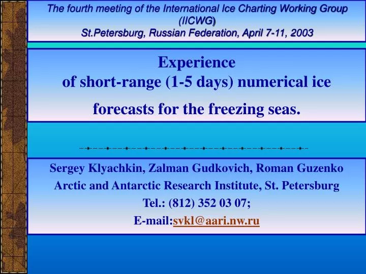
The fourth meeting of the International Ice Charting Working Group (IICWG ) St.Petersburg, Russian Federation, April 7-11, 2003. Experience of short-range (1-5 days) numerical ice forecasts for the freezing seas. Sergey Klyachkin, Zalman Gudkovich, Roman Guzenko

E N D
The fourth meeting of the International Ice Charting Working Group (IICWG) St.Petersburg, Russian Federation, April 7-11, 2003 Experience of short-range (1-5 days) numerical ice forecasts for the freezing seas. Sergey Klyachkin, Zalman Gudkovich, Roman Guzenko Arctic and Antarctic Research Institute, St. Petersburg Tel.: (812) 352 03 07; E-mail:svkl@aari.nw.ru
Regions General view of model regions
Bathymetry Grid mesh of the model (cell dimension is 25×25 km)
Principle of GRID data interpolation (atmospheric pressure distribution)
Interpolated atmospheric pressure and calculated surface wind (forecast)
Satellite images often do not cover the entire model area. In this case the initial data for new forecast are prepared by composing the new image data and results of previous forecast.
Sea temperature is prepared by correcting the climatic distribution in accordance with actual location of ice edge
MODEL • The model consists of four principal components: • thermal evolution of the sea water (based on the equations of heat and salinity budget); • sea water dynamics (based on the equations of hydrodynamics); • thermal evolution of ice cover (based on the heat budget equation); • ice cover dynamics (based on the non-stationary equations of ice dynamics with viscous-plastic rheology).
Examples for other regions Pechora Sea
Criteria of quality 1) Skill score of the model forecast P; Ncorrect– number of cells in which forecasted and actual values are close (difference is not more than permissible error); Ntotal – total number of cells 2) Skill score of the inertial forecast I; Ninert– number of cells in which the initial and final actual values are close (difference is not more than permissible error); Ntotal – total number of cells 3) Efficiency E E = P - I
The sense of these formulas is as follows: • The model forecast affirms: “Ice conditions will change in accordance with the model results”. • The inertial forecast affirms: “The changes of ice conditions will not be significant, and we may accept them constant.” • The forecast efficiency shows: “which of these two hypotheses is closer to reality”. • If: • efficiency is positive (the model forecast has higher skill score than the inertial forecast): the changes of ice conditions are significant, hence, we may not accept them constant and it is more reasonable to employ the model forecast; • 2) efficiency is negative or zero (the model forecast has lower or equal skill score than the inertial forecast): it is more reasonable to assume the ice conditions constant than to employ the model forecast.
Typical formula for maximum permissible error: where Emax – maximum permissible error, - standard error, P - natural variability of forecasted parameter for the temporal scale equal to prognostic period As for ice concentration, maximum permissible errors coincide with standard concentration gradations defined in the “InternationalSymbols for Sea Ice Charts and Sea Ice Nomenclature” as follows: • open water – 0 tenths (0%); • very open ice – 1-3 tenths (less than 35 %); • open ice – 4-6 tenths (36-65 %); • close ice – 7-8 tenths (66-85 %); • very close ice – 9-10 tenths (more than 85%)
Verification Generalized results of ice forecasts
Statistical distribution of ice concentration forecast errors Algebraic errors Absolute errors
General view of interface panel Interface
Conclusions • The main directions of development. • Improvement of methodology of initial ice chart composing; • Improvement of methodology of initial water temperature correction; • More detailed simulations of the sea currents (including tides); • More accurate estimate of horizontal heat fluxes in the near-edge zones; • Elaboration of fast ice boundary forecasting.