Download
1 / 74
740 likes | 811 Views
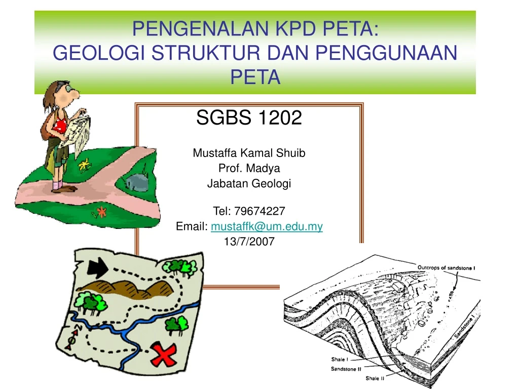
PENGENALAN KPD PETA: GEOLOGI STRUKTUR DAN PENGGUNAAN PETA. SGBS 1202 Mustaffa Kamal Shuib Prof. Madya Jabatan Geologi Tel: 79674227 Email: mustaffk@um.edu.my 13/7/2007. Apakah Peta? Media Peta, Jenis Peta Konsep Peta, Unsur-unsur Peta. Apakah peta?.

E N D
PENGENALAN KPD PETA:GEOLOGI STRUKTUR DAN PENGGUNAAN PETA SGBS 1202 Mustaffa Kamal Shuib Prof. Madya Jabatan Geologi Tel: 79674227 Email: mustaffk@um.edu.my 13/7/2007
Apakah Peta? • Media Peta, • Jenis Peta • Konsep Peta, • Unsur-unsur Peta
Apakah peta? Many different people use many’ different types of maps for many different purposes
Apakah peta? • Model yang mewakili taburan benua dan lautan diatas Bumi ini. • Suatu unjuran grafik permukaan Bumi ini yang menunjukkan taburan semua unsur-unsur yang terdapat, termasuk unsur semula jadi dan binaan manusia.
Kegunaan peta Mencari tempat • Let’s say you are asked to find the nearest school from your house. You could walk aimlessly from your house and hope you find a school. • However, if you were thinking, you would use a local map to help locate the nearest high school. • The scale on the map can help you determine the distance and • the legend reveals what map symbol is a school. • The direction in which you should walk can also be determined. • However, you may need a compass to walk in the direction.
Kegunaan peta Mencari tempat • Mencari kedudukan sesuatu fitur Menentukan fitur yang terdapat pada sesuatu kawasan
Jenis-jenis peta • Political maps • Menentukan fitur-fitur yang terdapat pada sesuatu tempat • do not show physical features. Instead, they indicate state and national boundaries and capital and major cities. A capital city is usually marked with a star within a circle. • Road maps • show major—some minor highways—and roads, airports, railroad tracks, cities and other points of interest in an area. People use road maps to plan trips and for driving directions. • Topographic maps • include contour lines to show the shape and elevation of an area. Lines that are close together indicate steep terrain, and lines that are far apart indicate flat terrain.
Climate maps • give general information about the climate and precipitation (rain and snow) of a region. Cartographers, or mapmakers, use colors to show different climate or precipitation zones. • Economic or resource maps • feature the type of natural resources or economic activity that dominates an area. Cartographers use symbols to show the locations of natural resources or economic activities. • Physical maps • illustrate the physical features of an area, such as the mountains, rivers and lakes. The water is usually shown in blue. Colors are used to show relief—differences in land elevations. Green is typically used at lower elevations, and orange or brown indicate higher elevations.
TOPOGRAPHIC MAPS • Topographic maps show a 3 dimensional world in 2 dimensions by using contour lines. • Many people have trouble reading these maps, because they have mountains and valleys are represented with concentric circles and lines. • Many hikers use topographic maps, especially in areas where there are no roads with signs. • Geologists depend on topographic maps to record the types of rocks. • Engineers use topographic maps when they are planning roads, buildings, or other human–made structures. Imagine designing a city without considering where hills and valleys are located!
GEOLOGIC MAPS • A geologic map is a map of the different types of rocks that are on the surface of the Earth. By mapping different rock types, geologists can determine the relationships between different rock formations which can then be used to find mineral resources, oil, and gravel deposits.
Media Peta • 1) Kertas paper form that had been used for centuries, • 2) Digital/komputer in the much more recent digital form on a computer. • Kedua-dua media ada kebaikan dan keburukan a) keperluan pengguna, b) masalah yang ingin diselesaikan c) jenis data mentah yang sedia ada.
Media Peta : Kertas Using paper topographic maps, nautical charts, tourist maps, and bus route maps.
Media Peta : Kertas • Paper maps have been used for centuries. • Paper maps are relatively inexpensive - MURAH • and so are available to most people. – SEMUA ORANG BOLEH GUNA • They are portable and compact, they just fold up and go in your pack. – MUDAH DIBAWAKITA PERNAH GUNAKAN:, either a bus route map, a road map, or a map in your school atlas that you needed to look at for course-work. • Paper maps are familiar to people,
keburukkan • Tidak boleh dikemaskini dengan senang. Because of their permanent format; when new updated information such as newly built roads becomes available to cartographers, whole new maps must be drawn instead of just updating one part of the map, in this case the roads. • Mudah rosak. If you take your map on a camping trip for instance, it could get wet or torn unless you have protected it with some form of lamination. • Melibatkan satu tema sahaja, paper maps are usually based on only one theme, such as road maps, land use maps, or geological maps.
Media Peta Digital • Digital maps are a product of the last century's massive increase in technology development. • Mudah dikemaskini, diubah dan dimanupulasikan. • With a click of a mouse button, you can add layers to your land use map to find a) major highways, b) streams and rivers, c) to find power lines.
With a digital map, a user can find the area of a particular feature like a lake or a forest, the length of a road or water course, or find out how many schools are within a school board district. • Digital maps can easily be personalized to a specific user's needs and purpose. • Digital maps can also be easily kept up-to-date.
KEBURUKKAN • Maps and mapping on computers can be very expensive. MAHAL • Even just to purchase the data and information that goes into digital maps can be very expensive. • You also have to have a computer, and have software that can process the map data. • Tak mudah dibawa bersama.Digital maps are not as portable as paper maps, although hand held Global Positioning Systems are available. • Tak semua orang tahu cara menggunanyaOne of the biggest disadvantages of digital maps is that not everyone understands how to use digital mapping technology.
Tajuk atau tempat tentuarah Sistem lokasi legend sekil
Konsep Peta • Maps communicate information, • but how do you make sense of all the different sources of information on a map? • How do you relate what you see on the map to what you see in real life? • Learn the language of maps! • Kita akan bincang konsep:Sekil/skala, Jarak, Arah, Sudut selisihan, dan sistem lokasi • that will enable you to understand how to interpret what maps are saying.
Sekil/skala • There are four ways of indicating scale
Sekil peta ialah satu nisbah yang mengaitkan jarak atas peta dengan jarak sebenar atas permukaan Bumi • One common scale is 1:50,000, • this means that one unit on the map (centimetre, inch, shoe length, pinkie fingernail, whatever...) is equivalent to 50,000 of those units (centimetre, inch, shoe length, pinkie fingernail, whatever...) • in the real world. It does not matter what units you use to take a measurement from the map, the real world the equivalent distance will be 50,000 times the map distance on a standard topographic map.
Here is an example: if you measure a distance on a 1:50,000 scale map, to be two centimetres, the corresponding actual distance is 100,000 centimetres. • But this is not a very useful way to report distance. Very few people can understand how far 100,000 centimetres is so it is much more useful to covert 100,000 centimetres into metres or kilometres.
When reporting a scale, the units of distance must be specified if they are not the same between the map and the real world. What would happen if the units of distance were the same? For example:If 1 centimetre on the map represents 500 metres on the ground, the scale is 1 centimetre to 500 metres or 1/50,000. This is also called a representative fraction
Jarak • Think of some ways that distance could be measured on a map. • How about a ruler? • If it's a straight line distance that you are measuring, sometimes a regular old ruler would work fine! • Just measure from Point A to Point B to find the distance between them.
Rulers are great for straight line distances, or measuring distance "as the crow flies", but would a ruler be a good choice to measure the length of a river or stream? • What if you are measuring a distance along roads from one house to another? • How would you measure curved lines with a straight ruler? • One way is to divide the line into straight line segments and to then measure in between them.
Another way to measure a curved distance is to use a piece of string. • Lay a length of string on a map sheet, putting one end of the string at the point that you want to measure from. • Shape and curve the string along the route that you want to measure, such as a river or stream. • When you get to the point that you want to measure to, mark the point on the string with a marker. • Now you can remove the string from the paper, stretch it out straight and measure its length
tentuarah • North is shown on the bottom of a topographic map by three arrows whose tips are marked MN, , GN. • These refer to Magnetic North, True North, and Grid North, respectively. Utara benar Utara Magnet Utara Grid
Utara benar/True North is toward the top of the map; it is defined by the meridians of longitude. • Utara magnet / Magnetic North is the direction toward which a compass needle points within the map area. • The angle between Magnetic North and True North is known as magnetic declination.- Sudut selisih magnet • Because the magnetic pole shifts westward with time, the declination needs to be monitored and updated for accurate navigation.
Utara Grid/Grid North shows the difference between the rectangular grid on the map and True North. • This difference happens because a map is a flat illustration of the Earth's curved surface. .
True North is different from Magnetic North because the Earth's geographic North Pole and its magnetic North Pole are not located at the same place. • The angle between them (magnetic declination) changes as you move to different places on the globe. • For compass bearings to be the same as bearings measured from a map, the compass must be set to make up for magnetic declination. • If you didn't, your map and compass bearings would be measured from different 0° (north) lines. What then? You'd be lost! A True North map bearing can be converted to a Magnetic North compass bearing, or the other way around, by either adding or subtracting the value of the magnetic declination the value of True North
Directions are shown in degrees as either bearings or azimuths. • A bearing measures the degrees of an angle, east or west, from north or south from zero to a maximum of 180 degrees. • Azimuths are similar to bearings, but degrees are counted clockwise for 360 degrees, beginning and ending at north.
Sistem Grid • A grid system is a set of lines that cross each other at right angles on a map. • Grid systems allow the map user to locate or report on a specific point on the map. • For example, longitude and latitude lines on a Mercator-projection map form a rectangular grid system that can be used to identify locations. • Another grid system that is widely used in mapping and orienteering is the Universal Transverse Mercator or UTM Grid system. Why do you think the word Mercator is used in the name of the system? • The Military Grid Reference System is a military version of the civilian-use UTM system.
Universal Transverse Mercator or UTM Grid • An easier-to-use grid system for specifying a point on a topographic map is the Universal Transverse Mercator or UTM Grid. This grid system subdivides the map region into one kilometre squares. Each marked UTM line on the map is exactly 1000 metres (1 kilometre) to distance from a reference point. Points that fall between the marked UTM grid lines can be accurately located by using the 1000 metre scale bar found at the bottom of the map.
Military Grid Reference System • The military grid reference system is very similar to the civilian UTM system, but avoids UTM's cumbersome long strings of numbers by using a rectangular grid with, on 1:500,000 scale and larger maps, two digit numbered rows and columns. Military grid references are very similar to the mathematical Cartesian (x,y) system. Military grid coordinates first give eastings on the x axis, and then northings, on the y axis.
Reading Military Grid Reference Coordinates • In this example, the designation of the square containing the school would be 67E42N. This is called a four-figure grid reference.
In order to give a more precise military grid reference, you must imagine the square divided into ten sections by ten sections. • The grid reference will then be an estimate of that internal ten by ten division of a grid square. • We can estimate that the school is six tenths of the way "east" from the western boundary of the grid square, line 67. Horizontally, we can estimate also that the school is approximately five tenths of the way up from the southern boundary of the grid square, line 42. We can then give a six-figure grid reference for the school of 676E425N.
We can then give a six-figure grid reference for the school of 676E425N.
READING A GLOBE We can identify locations as precise points on the Earth's surface by using a grid system of latitude and longitude. The use of giving a north and south direction (latitude) and an east and west direction (longitude) is used through the world. This system aids us in measuring distances and finding directions between and among places on the Earth's surface. The starting point is the prime meridian, with represents 0º longitude. The exact opposite position at 180º is called the International Date Line, which is where the date actually changes. So if you are going from Monday in California, and cross the International Date Line going to Japan. It would be Tuesday! You have to start the day somewhere.
Latitude and Longitude • The first important question a map-user must answer is: "What part of the Earth's surface is being shown?" In order to answer this question, a map-user must be able to say exactly where a location is on the surface of the Earth. The location of points or areas on the surface of the Earth can be shown by latitude and longitude. • Lines of Latitude and Lines of Longitude