Download
1 / 7
70 likes | 158 Views
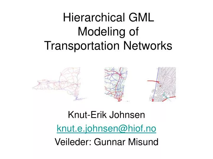
Hierarchical GML Modeling of Transportation Networks. Knut-Erik Johnsen knut.e.johnsen@hiof.no Veileder: Gunnar Misund. Project description. There are vast amounts of geodata available.

E N D
Hierarchical GML Modeling of Transportation Networks Knut-Erik Johnsen knut.e.johnsen@hiof.no Veileder: Gunnar Misund
Project description • There are vast amounts of geodata available. • This project will try to find a smart way to organize and store this data with two goals in mind, visualization and analysis. • The main case will be transportation networks. Different algorithms for transportation planning and shortest path will be investigated. • All results and publications are part of the OneMap project.
TigerLine Data US Highways, resolution ca. 11 km
Grid Approximation Overlay the grid representing your wanted level detail (resolution) Snap points to nearest grid point Discard redundant points
Network Generalization Clustering Selection/deletion Stroke ordering (Thomson)
Road Class Grouping Most road data incorporates some kind of classification US Census Tiger Line Files: CFCC codes + Class A3 (green): "Secondary and Connecting Road". A1 (red) and A2 (blue) A1: "Primary Highway With Limited Access" A2: "Primary Road Without Limited Access". + A4 (purple, "Local, Neighborhood, and Rural Road"), A6 (brown, "Road with Special Characteristics") and A7 (cyan, "Road as Other Thoroughfare").
Stroke Extent Grouping Strokes are constructed by joining consequtive segments with same road name 657 to 1314 meter 164 to 328 meter Larger than 10.5 km