Download
1 / 13
130 likes | 469 Views
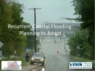
Flooding in the Coastal Plain. National Flood Workshop October 26, 2010 Houston, Texas. Thomas Mountz, P.E., D.WRE, CFM Espey Consultants, Inc. 4801 Southwest Parkway Parkway 2, Suite 150 Austin, Texas 78735. Lower Rio Grande Valley. NFIP Program losses from ’78-’04 - $9.6 Million

E N D
Flooding in the Coastal Plain National Flood Workshop October 26, 2010 Houston, Texas Thomas Mountz, P.E., D.WRE, CFM Espey Consultants, Inc. 4801 Southwest Parkway Parkway 2, Suite 150 Austin, Texas 78735
Lower Rio Grande Valley • NFIP Program losses from ’78-’04 - $9.6 Million • Fourth fastest growing metropolitan area in the State: Growth = Development Pressure • Federal disasters in 1984, 1991, 2008, 2010 • FLAT - no natural streams • Arid region with significant flooding potential from Rio Grande, hurricane/ tropical storm and other rainfall events.
How Flat is Flat? Slope = 1 foot per mile or less
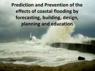
Hurricane Dolly • 10-16 inches of rainfall in 24 hours • Two weeks of heavy rains followed Hurricane Dolly • Some areas were flooded for months
Cameron County Storm Drainage Study • Focus on Unincorporated Areas • Focus on flooding from Hurricane Dolly • Lake Tio Cano had extensive damage Problem Area Unincorporated Area Incorporated Area
171 Parcels at or below elev. 46 ft Appraised value in excess of $8 Million More than 2.5 miles of streets at or below elev. 46 ft No Natural Outlet FM-506 closed for more than one month (raised by TxDOT in 2009) Tio Cano Lake
Flatland Runoff Methodology • HEC-HMS Hydrology Model • Calculated using Kerby-Kirpich method for Time of Concentration • Kirby-Kirpich recommended by Roussel et al., 2005 Study of 92 gauged Texas watersheds and 1,600 storm events • Peak Rate Factor Reduction as suggested by recent USACE studies • Modified Puls & Reservoir Routing due to extensive overbank storage Source: NEH 4, Fang et al., 2005
Kerby – Kirpich Method • Kerby Overland Flow Equation • L = Length in feet • S = Slope (ft/ft)(not to exceed 1,200 feet) • N = Retardance Coefficient (dimensionless) • Kirpich Shallow Concentrated /Channel Flow Equation • L = Length in feet • S = Slope (ft/ft)
Proposed Tio Cano Lake Outlet • Approx. 3.8 mile channel • 12-20 ft BW, 2.5:1 SS • 10 ft water depth • 70 ft weir length at channel inlet • 28 ft max cut Outlet Channel
Questions, Discussion • Thank you for this opportunity! Thomas W. Mountz, P.E., D.WRE, CFM tmountz@espeyconsultants.com (512) 326-5659
Lake Tio Cano • “Dry” lake bed located in sump area between La Feria and Santa Rosa • Much of the lake area included in National wildlife Refuge • No Natural Outlet • Pumped outlet to Wilson Canal & trucks for several months • Hurricane Dolly reached approx. Elevation 46 (100-YR FIRM).