Download
1 / 17
170 likes | 178 Views
This report explores the definition of environmental flow and its importance in managing river systems. It assesses models used in the Texas Instream Flow Program and suggests improvements for better functionality. The report discusses the use of GUI vs automation and potential collaboration with USGS. It also examines future work, such as the development of the NWIS Peak Streamflow tool and a Texas stream classification system.

E N D
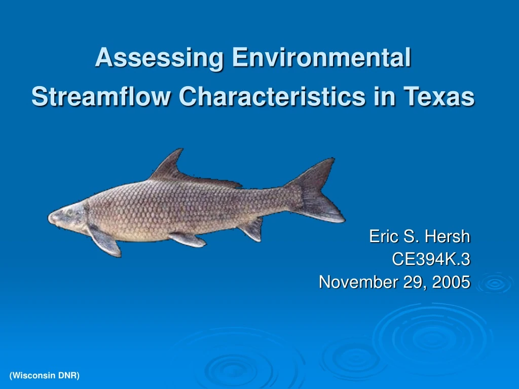
Assessing Environmental Streamflow Characteristics in Texas Eric S. Hersh CE394K.3 November 29, 2005 (Wisconsin DNR)
environmental flow • Definition • water left in or released into a river system • often for managing some aspect of its conditions • Flow: the ‘master variable’ • controlling factor in riverine physical, biological, and chemical processes • natural flow regime
hydrologic alteration software USGS The Nature Conservancy
project goals • assess models for use in the Texas Instream Flow Program • improve functionality • using the models • producing meaningful results
GUI vs. automation • HAT: initiated discussion with USGS • possible CRWR partnership • batch processing and/or synthesis with ArcGIS
NWIS Peak Streamflow TS Download Tool Tim Whiteaker, CRWR Parser XML (Optional) Raw User Inputs XML User Inputs GIS Refined User Inputs XML Features Data Retrieval from Web Time Series Table Time Series XML
statewide study n = 409
TWDB priority basins n = 24 Trinity Brazos Sabine San Antonio Guadalupe
future work • HAT automation • dialog with USGS • develop NWIS Peak Streamflow tool • moving toward a Texas stream classification system • analogous to terrestrial ecoregions, but riparian • Principal Component Analysis (PCA) for priority sites and statewide • eliminate redundancy and simplify use
data sources • daily and peak streamflow data: USGS • http://water.usgs.gov/ • via TSDownload Tool • streams: NHD • http://nhd.usgs.gov/ • HUCs: TNRIS • http://www.tnris.state.tx.us/
acknowledgements • CRWR: David Maidment, Venkatesh Merwade, Tim Whiteaker • TWDB: Jordan Furnans • TCEQ: Wendy Gordon • The Nature Conservancy: Tom Fitzhugh • USGS: Jim Henriksen