Download
1 / 12
120 likes | 271 Views
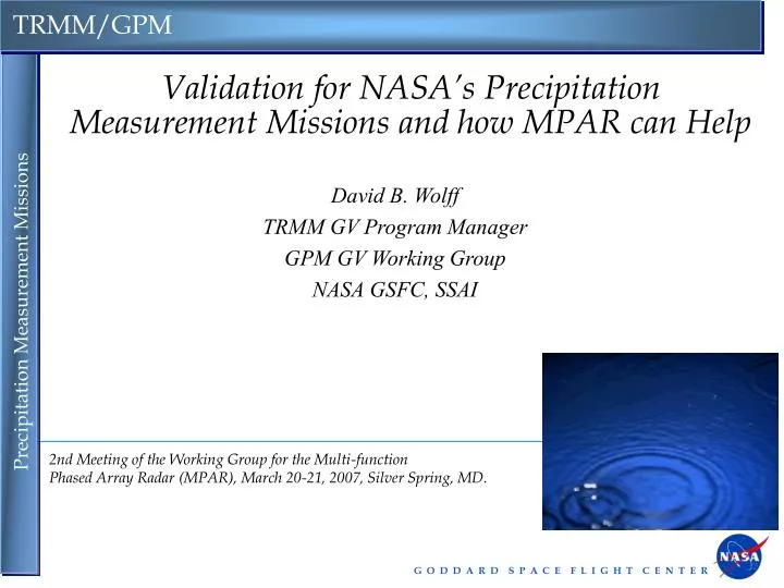
Validation for NASA’s Precipitation Measurement Missions and how MPAR can Help. David B. Wolff TRMM GV Program Manager GPM GV Working Group NASA GSFC, SSAI. 2nd Meeting of the Working Group for the Multi-function Phased Array Radar (MPAR), March 20-21, 2007, Silver Spring, MD. Overview.

E N D
Validation for NASA’s Precipitation Measurement Missions and how MPAR can Help David B. Wolff TRMM GV Program Manager GPM GV Working Group NASA GSFC, SSAI 2nd Meeting of the Working Group for the Multi-function Phased Array Radar (MPAR), March 20-21, 2007, Silver Spring, MD.
Overview • One of the critical components of the Earth's hydrological cycle is precipitation. Rainfall is essential for providing the fresh water that sustains life. In the atmosphere, the condensation of water vapor into rain, and then rain or snow, releases vast quantities of heat, which drives the global weather and climate system. • NASA has implemented the Precipitation Measurement Mission (PMM) program to provide reliable, long-term estimates of global precipitation in order to better understand the global water/enery cycle and its effects on the global climate. • Currently, the Tropical Rainfall Measuring Mission (TRMM) is underway. • TRMM launched in November, 1997, a planned three-year mission that has provided significant contributions to this effort, as well as support for data assimilation, hurricane tracking and forecasting, landslide forecasting et al. • The paradigm for TRMM Ground Validation was to use ground-based radars and rain gauge networks to statistically validate satellite-based estimates of precipitation. The WSR-88D radar network has been an integral part of TRMM. Courtesy GPM GV Whitepaper (Kummerow & Petersen, 2006)
Instrument Payload • TRMM Microwave Imager (TMI) • 10, 19, 37, 86 GHz, conical scanning • Precipitation Radar (PR) [Japan] • 14 GHz, cross-track scanning • Visible IR Scanner (VIRS) • 5-channel, cross-track scanning • Lightning Imaging Sensor (LIS) [MSFC] • Staring optical array • Cloud & Radiant Energy System (CERES) [LRC] • Radiation budget (failed after 6 mos.) Courtesy R. Adler
TRMM GV Network • Current TRMM GV Sites • Darwin, Australia • Houston, Texas • Kwajalein, RMI • Melbourne, FL • Each site consists of radar, gauges and disdrometers (for estimating drop size distributions)
Validation of TRMM Rain Rate Estimates Sample TRMM overpass of Kwajalein, Republic of the Marshall Islands GV Radar (2 km x 2 km) TMI (~ 50 km2) PR (4 km at nadir) Combined algorithm (4 km at nadir
Future: Global Precipitation Measurement (GPM) Courtesy http://gpm.gsfc.nasa.gov
The next mission, currently termed the Global Precipitation Measurement (not a mission yet!) will build on the successes of TRMM. • GPM will consist of a primary “core” satellite with a dual-frequency radar and the next generation GPM Microwave Imager (GMI) • A number (TBD) of constellation satellites, all carrying GMI instruments, which will allow for nearly global coverage (± 70°) at 3-hour sampling. • GPM GV will employ not only the current TRMM paradigm, but also expand it in order to provide physical validation of the satellite algorithms by deploying additional instrumentation, such as ground-based radiometers, disdrometers, multi-frequency and dual-polarization radars (MPAR?), and research aircraft. • The enhanced abilities of MPAR will serve this approach well given it’s ability to perform high quality, fast volume coverage, its “staring” capability, as well its proposed dual-polarization capability.
GPM Direct Validation Using National Radar Networks • Goal: Identify and resolve discrepancies between national networks (radars/gauges) and satellite estimates/products • Additionally: • Understand (and minimize) the errors associated with the geometry and timing of joint satellite and ground observations • Quantify bias and errors contributed by ground and space-based instruments • Contribute to an error model of precipitation measurements • Assess the first order errors of satellite rainfall retrievals over land • Prototype 20 WSSR-88D sites in the southeast US • Pre-launch • Product to validate PR/WSR-88D radar reflectivity calibration and PR attenuation corrections • Experimental product for comparison of WSR-88D and PR estimates of rain rate • Validate scalability to full network and other radars • Post-launch • Pre-launch working products applied to DPR Ka / Ku bands and to GMI Courtesy: M. Schwaller, L. Liao & R. Meneghini, W. Petersen
ImprovedRetrievals Observations Models Microphysics, Radiative Transfer, Radar Tb Zl1 , Zl2 Tb Ci Z Sn z (km) Gr/hl Rn qi (kg) 88D Dual Pol. R, D0 Profiler Rain Gauge Disdrometer X/Ka/Ku - band Physical Validation of Core/Constellation Algorithms • Coordinated observations of precipitation processes and microphysics: • Dual-polarimetric and multi-frequency radar, aircraft, profiler, disdrometer and rain gauge networks. • Validation of Cloud-Resolving Model physics and improved forward RT models for precipitation retrieval and algorithm development + Courtesy W. Petersen
Launch Forecasting and MPAR • NWS Spaceflight Meteorology Group (SMG) provides weather forecast and briefings to support space shuttle operations of NASA. • SMG forecasts range from microscale to hemispheric scale. • Currently WSR-88D play a pivotal role in shuttle weather forecasting ops. • MPAR increased sensitivity and staring capabilities should significantly improve launch forecasting information From Brody et al. (Weather & Forecasting,1997)
The uniqueness of the shuttle weather flight rules causes SMG to utilize the WSR-88D data differently than most other weather offices • For example, the WSR-88D 0.58 base reflectivity product occasionally detects cloud drops and cloud streets. This assists SMG in monitoring and forecasting cloud cover amount and low cloud ceiling development in the KSC area. • Lowest level base reflectivity and velocity products are valuable for locating sea-breeze boundaries, convective outflow boundaries, and other fine lines, which help with tracking wind shifts and forecasting convective initiation and dissipation. • Higher-level base reflectivity products and layer composite reflectivity products are used to track movement and location of thunderstorm anvils. • The increased sensitivity and ‘staring’ capability of MPAR should significantly improve ‘now-casting’ operations for shuttle and other launch operations.
How Would MPAR Help NASA’s PMM Goals? • MPAR would enhance PMM efforts by • Providing rapid updating via adaptive scanning and rapid volume scanning (especially during satellite overpass periods) • Improve the process studies, e.g., cloud-resolving model (CRM) validation; and also • Making more instantaneous comparisons to DPR for direct validation • Provide a better and more frequent estimate of surface precipitation via the "ground hugging" mode • Will assist direct validation, and integrated and hydrological validation applications. • Will provide important information, now parameterized, on the vertical gradient of reflectivity and rain rate, imperative for accurate estimation of surface precipitation • Dual-polarization capability would help validate quality control, drop size distribution, hydrometeor type classification, and precipitation estimates of the GPM dual-frequency radar (DPR)