Download
1 / 22
220 likes | 308 Views
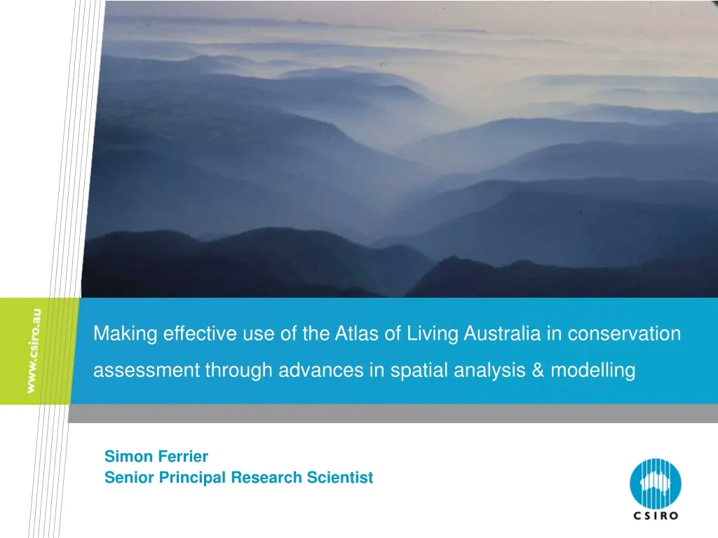
Making effective use of the Atlas of Living Australia in conservation assessment through advances in spatial analysis & modelling. Simon Ferrier Senior Principal Research Scientist. Biodiversity conservation assessment & planning. Conservation status assessment.

E N D
Making effective use of the Atlas of Living Australia in conservation assessment through advances in spatial analysis & modelling Simon Ferrier Senior Principal Research Scientist
Biodiversity conservation assessment & planning Conservation status assessment Spatial conservationprioritisation Monitoring of conservation outcomes On-ground decision making & management action
Sources of spatial data on biodiversity for fine-scaled conservation assessment In-situ biological data (field observations & specimens) Remotely derived environmental data (raw spectral data, abiotic surfaces, land cover / habitat / vegetation mapping) • complete spatial coverage • BUT • variable, or unknown, congruence • direct information on biodiversity • BUT • incomplete spatial coverage
Adding value to primary biological data through spatial analysis & modelling Direct biological observations Remote mapping of climate, terrain, soils etc Mapping of land tenure, cover & condition Modelling of spatial patterns in the distribution of biodiversity Mapping & modelling of pressures & threats Assessment of change in the state of biodiversity Alternative land use / management scenarios Forecasting of biodiversity persistence
Modelling of spatial patterns in the distribution of biodiversity Direct biological observations Remote mapping of climate, terrain, soils etc Mapping of land tenure, cover & condition Modelling of spatial patterns in the distribution of biodiversity Mapping & modelling of pressures & threats Assessment of change in the state of biodiversity Alternative land use / management scenarios Forecasting of biodiversity persistence
Spectrum of distributional modelling strategies • interested in individual species of particular concern • reasonable number of records per species Individual species modelling (“ecological niche modelling”) Simultaneous multi-response modelling of multiple species “Assemble first, predict later” techniques Modelling of emergent (collective) biodiversity properties (richness, compositional turnover etc) • interested in biodiversity as a whole • huge number of species, each with few (or no) records
Generalised dissimilarity modelling (GDM)Ferrier, S. et al (2007) Diversity & Distributions 13: 252-264 Environmental & geographical separation Compositional dissimilarity between pairs of locations
Generalised dissimilarity modelling (GDM)Ferrier, S. et al (2007) Diversity & Distributions 13: 252-264 Least-cost path geographical separation Community-level phylogenetic dissimilarity Site i Site j A B C
Generalised dissimilarity modelling (GDM)Ferrier, S. et al (2007) Diversity & Distributions 13: 252-264
Generalised dissimilarity modelling (GDM)Leathwick, J.R. et al (in press) Freshwater Biology
Assessment of change in the state of biodiversity Direct biological observations Remote mapping of climate, terrain, soils etc Mapping of land tenure, cover & condition Modelling of spatial patterns in the distribution of biodiversity Mapping & modelling of pressures & threats Assessment of change in the state of biodiversity Alternative land use / management scenarios Forecasting of biodiversity persistence
Global analysis of protected-area coverageFerrier, S. et al (2004) BioScience 54:1101-1109
Quantifying biodiversity loss in MadagascarAllnutt, T., Ferrier, S. et al (2008) Conservation Letters. in press 2000: 42.0% of species “committed to extinction” 1950: 32.9% of species “committed to extinction” “Original”
Forecasting of biodiversity persistence Direct biological observations Remote mapping of climate, terrain, soils etc Mapping of land tenure, cover & condition Modelling of spatial patterns in the distribution of biodiversity Mapping & modelling of pressures & threats Assessment of change in the state of biodiversity Alternative land use / management scenarios Forecasting of biodiversity persistence
Dynamic modelling of future habitat conditionDrielsma, M. & Ferrier, S. (2006) Ecological Management & Restoration 7: 45-52 Land-use / management Current habitat condition Pressures / threats Future habitat condition Modelling of future change in habitat condition Model parameters (based on expert knowledge)
Modelling of potential impact of climate change on plant community composition (Logan, V., Ferrier, S., Manion, G. in prep) GDM analysis of compositional turnover in relation to current climate Floristic survey data Potential change in composition (2050 high-emissions scenario) Current climate surfaces
Modelling of biodiversity persistence as a foundation for conservation planning & decision-making Planning and decision-making Mapping of priorities for management action Evaluation of alternative regional plans or scenarios Automated development of regional plans (optimisation) Assessment of specific on-ground proposals Modelling of multiple environmental, social & economic values Value ‘x’ Modelling of biodiversity persistence Value ‘y’ etc ... Knowledge and data on ecological, social and economic systems
Modelling of biodiversity persistence as a foundation for conservation planning & decision-making
Need model evaluation, adaptive feedback and refinement Direct biological observations Remote mapping of climate, terrain, soils etc Mapping of land tenure, cover & condition Modelling of spatial patterns in the distribution of biodiversity Ongoing data refinement, monitoring, & model evaluation Mapping & modelling of pressures & threats Assessment of change in the state of biodiversity Alternative land use / management scenarios Forecasting of biodiversity persistence
Trial GDM-based analysis of ANHAT data by Department of Environment, Water, Heritage & the Arts (DEWHA) Biological records (example: terrestrial gastropods) Derived analyses Modelled patterns of community composition Endemism Environmental layers Protected area coverage Survey gap analysis
Contact Us Phone: 1300 363 400 or +61 3 9545 2176 Email: enquiries@csiro.au Web: www.csiro.au Thank you CSIRO Entomology Simon Ferrier Senior Principal Research Scientist Phone: +61 2 62464191 Email: Simon.Ferrier@csiro.au Web: www.csiro.au/entomology