Download
1 / 24
240 likes | 330 Views
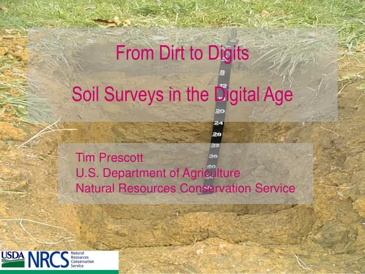
From Dirt to Digits Soil Surveys in the Digital Age. Tim Prescott U.S. Department of Agriculture Natural Resources Conservation Service. How do we go from Dirt to Digits?. “Laws are like sausages. It’s better not to see them being made.” Otto von Bismark

E N D
From Dirt to Digits Soil Surveys in the Digital Age Tim Prescott U.S. Department of Agriculture Natural Resources Conservation Service
How do we go from Dirt to Digits? • “Laws are like sausages. It’s better not to see them being made.” Otto von Bismark • “Any sufficiently advanced technology is indistinguishable from magic.” Arthur C. Clarke
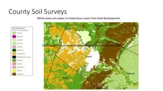
The Soil Survey Geographic DatabaseSSURGO • Digitized version of the Soil Survey publications + added value • Compiled to orthographic base • Photogrammetric distortions removed • Scale of 1:12,000 or 1:24,000 • Standards in National Soil Survey Handbook • Rigorous review and certification process
SSURGO is a valuable product • About 11,522,700 acres digitized in West Virginia • Estimated value: $57,613,495
Top 3 geospatial accomplishments of 2003-2004 • Provided $375,000 in funding to WV-SAMB for digital orthophotography acquisition • Funded $12,500 cooperative agreement with USGS for 10 meter DEM development • Provided comprehensive DOQQ imagery coverage to WV-GISTC for unrestricted download
Top 3 geospatial goals for 2004-2005 • Transition to ArcGIS 9 • Finish SSURGO development by 2007 • Acquire more elevation data wherever possible
Tim Prescott’s NRCS GIS Mission Statement To develop, acquire and disseminate digital data and technologies that will enhance the processes of sound resource management, policy and planning.
NRCS responsibilities for geospatial data: • Soils • NAPP Digital Orthophotography (in partnership with USGS and FSA) • Watershed boundaries • National Resource Inventory (NRI)
How can the geospatial community help? • Cooperative agreements • Contact legislators and other agencies about the importance of soils data, DOQQs, etc. • Share your data • Help us research and develop new tools and data