Download
1 / 29
290 likes | 409 Views
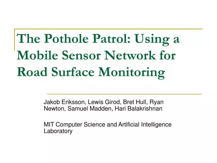
The Pothole Patrol: Using a Mobile Sensor Network for Road Surface Monitoring. Jakob Eriksson, Lewis Girod, Bret Hull, Ryan Newton, Samuel Madden, Hari Balakrishnan MIT Computer Science and Artificial Intelligence Laboratory. Outline. Introduction Architecture Data Acquisition Algorithm

E N D
The Pothole Patrol: Using a Mobile Sensor Network forRoad Surface Monitoring Jakob Eriksson, Lewis Girod, Bret Hull, Ryan Newton, Samuel Madden, Hari Balakrishnan MIT Computer Science and Artificial Intelligence Laboratory
Outline • Introduction • Architecture • Data Acquisition • Algorithm • Performance • Related Work • Discussion
P2 : A mobile road surface monitoring system • Hazardous to drivers and increasing repair costs due to vehicle damage • Determine “which” roads need to be fixed • Static sensors will not do well – requires mobility! • P2 is first of its kind • Challenge : differentiate potholes from other road anomalies(railroad crossings, expansion joints) • Challenge : coping with variations in detecting the same pothole. (speed, sensor orientation) • P2 successfully detects most potholes(>90% accuracy on test data)
P2 Architecture • Vehicles have GPS and 3-axis accelerometer • <time,location,speed,heading,3-axis acceleration> • Opportunistic WiFi/Cellular connections with dPipe to cope network outages • Taxi Testbed • 7 Toyota Priuses1 • Soekris 48012 Embedded Linux • Wifi Card • Sprint EVDO Rev A3 Network card • GPS • Some numerical facts • 9730 total kms • 2492 distinct kms • 7 cabs • 174 km with >10 repeated passes 1 2 3 • http://www.carbuyersnotebook.com/archives/Toyota_Pruis_2006.jpg • http://www.pkgbox.org/Soekris-4801.jpg • http://gizmodo.com/gadgets/peripherals/two-new-sprint-evdo-rev-a-cards-pantech-px500-and-sierra-wireless-aircard-595-200423.php
Cab 1 GPS Cab 2 Location Interpolator Pothole Detector 3 Axis Accelerometer GPS Location Interpolator Pothole Detector 3 Axis Accelerometer P2 Architecture Pothole Record Clustering Central Server
P2 Architecture Distance Traveled vs. Total Hours Across All Taxis Lower line represents unique roads Segments of roads that were repeatedly covered 258,021 unique road segments
Accelerometer placement Dashboard Windshield Embedded Computer GPS Accuracy Standard deviation 3.3m DATA ACQUISITION
Hand Labeled Data Smooth Road Crosswalks/Expansion Joints Railroad crossing Potholes Manholes Hard Stop Turn DATA ACQUISITION
Loosely Labeled Training Data We know only types of anomalies and their rough frequencies Exact numbers and locations are unknown Extends available training set DATA ACQUISITION
ALGORITHM • Features of accelerometer data • High energy events are potholes? • Not really! • Rail road crossings, expansion joints, door slamming are high energy events • Accelerometer data is processed by embedded computer • 256-sample windows • Pass through 5 different filters
ALGORITHM - Filtering speed vs. z ratio OUT Pothole Detections xz-ratio IN Windows of all event classes Speed High-pass z-peak • Input • Raw accelerometer data • 256-sample windows
ALGORITHM - Filtering speed vs. z ratio OUT Pothole Detections xz-ratio IN Windows of all event classes Speed High-pass z-peak • Speed • Car is not moving or moving slowly • Rejects door slam and curb ramp events
ALGORITHM - Filtering speed vs. z ratio OUT Pothole Detections xz-ratio IN Windows of all event classes Speed High-pass z-peak • High-Pass • Removes low-freq components in x and z axes • Filters out events like turning, veering, braking.
ALGORITHM - Filtering speed vs. z ratio OUT Pothole Detections xz-ratio IN Windows of all event classes Speed High-pass z-peak • z-peak • Prime characteristic for significant anomalies • Rejects all windows with absolute z-acceleration < tz
ALGORITHM - Filtering speed vs. z ratio OUT Pothole Detections xz-ratio IN Windows of all event classes Speed High-pass z-peak • xz- ratio • Assumes potholes impact only side of the vehicle • Identifies anomalies that span width of the road (rail crossings, speed bumps) • Rejects all windows with xpeak within Δw (=32) samples from zpeak < txX zpeak Or, ( Xpeak/zpeak )< tx
ALGORITHM - Filtering speed vs. z ratio OUT Pothole Detections xz-ratio IN Windows of all event classes Speed High-pass z-peak • speed vs. z ratio • At high speeds, small anomalies cause high peak accelerations • Rejects windows where Zpeak < ts X speed or, (Zpeak /speed ) < ts
ALGORITHM - Training • Tuning parameters t={tz,tx,ts} are computed using exhaustive search over a set of values • For each set t, we compute detector score s(t) = corr – incorr2 • Corr is no. of pothole detections when sample was labeled as “pothole” • Maximize s(t) • Include loosely labeled data s(t) = corr – incorr2labeled– max(0,incorrloose – countr)
ALGORITHM - Clustering • Improve accuracy • Cluster of at least k events must happen in the same location with small margin of error(Δd) • Clustering algorithm • Place each detection in Δd X Δd grid. • Compute pairwise distances in same or neighboring grid cells • Iteratively merge pairs of distances in order of distance • Max intra cluster distance < Δt • Reported location is the centroid of the locations within it
ALGORITHM – Blacklisting & False Negatives • Well-known anomalies like bridges, railroad crossings, speed bumps etc can be located from GIS sources and blacklisted • GPS errors • Pothole avoidance • Biased detection will focus on critical anomalies
PERFORMANCE EVALUATION • Goals • Minimize false negative rate for smooth roads • Never a flag a smooth road as anomaly • Missing a few potholes is acceptable • Evaluation • Classification accuracy on hand-labeled data • Performance improvement using loosely labeled data • Performance on loosely labeled roads • Spot-checks
PERFORMANCE EVALUATION • Performance on Labeled Data • Randomly divided into training set and test set • False positive rate is 7.6% • Not accurate
PERFORMANCE EVALUATION • Estimating the false-positive rate • Ran the detector on loosely labeled roads • Helps set upper bound on false positive rate (at most 0.15%) on good roads.
PERFORMANCE EVALUATION • Impact of features and thresholds 2. w. xz-ratio filter 3. w. speed vs. z ratio 1. Only Z peak tx=1.5 tx=2.5 ts=5
PERFORMANCE EVALUATION • Performance under uncontrolled conditions • Slamming doors • Fiddling with the sensor equipment • Driving behaviors • Deliberately avoiding potholes • Use clustering • k=4
PERFORMANCE EVALUATION • Spot Checks Manhole Typical pothole Expansion joint
RELATED WORK • Surveys • Falling weight deflectometer • Machine vision – cameras, robots • Accelerometer • Microsoft Trafficsense – smartphones
DISCUSSION • This is what I think • Innovative • Ground truth establishment is tedious, expensive in dense road networks • Will it work in hilly areas ,slopes? • Future work? • Driver feedback – Interactive embedded computers • Smartphones – Cheaper solution, greater coverage • Comments/Questions ???
REFERENCES • The Pothole Patrol: Using a Mobile Sensor Network forRoad Surface Monitoring Jakob Eriksson, Lewis Girod, Bret Hull, Ryan Newton, Samuel Madden, Hari Balakrishnan MIT Computer Science and Artificial Intelligence Laboratory • U. Lee, E. Magistretti, B. Zhou, M. Gerla, P. Bellavista, and A. Corradi. MobEyes: Smart Mobs for Urban Monitoring with a Vehicular Sensor Network. IEEE Wireless Communications, 2006. • TrafficSense: Rich Monitoring of Road and Traffic Conditions using Mobile Smartphones Prashanth Mohan, Venkata N. Padmanabhan, and Ramachandran Ramjee {prmohan,padmanab,ramjee}@microsoft.com Microsoft Research India, Bangalore • http://research.microsoft.com/apps/pubs/default.aspx?id=70573