Download
1 / 16
170 likes | 330 Views
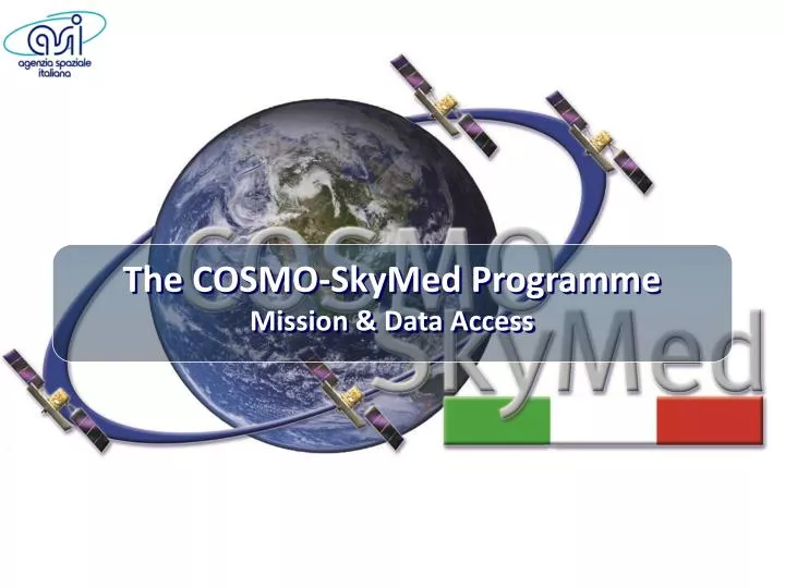
The COSMO-SkyMed Programme Mission & Data Access. The COSMO-SkyMed PROGRAMME. The Largest Italian investment in Space System for Earth Observation. A National Program conceived by Italian Space Agency ( ASI ) and funded by

E N D
The COSMO-SkyMed Programme Mission & Data Access
The COSMO-SkyMed PROGRAMME • The Largest Italian investment in Space System for Earth Observation • A National Program conceived by Italian Space Agency (ASI) and funded by It. Ministry of Research & It. Ministry of Defence • Managed by ASI in cooperation with the It. MoD • Developed by the Italian National Industry
DUAL USE SYSTEM • 4 SAR SATELLITES CONSTELLATION • WORLDWIDE GLOBAL COVERAGE • SENSOR X-BAND SAR (9.6 GHz) • ALL WEATHER NIGHT / DAY ACQUISITIONS • BANDWIDTH 400 MHz • HEIGHT 619.6 Km • ORBIT SSO • INCLINATION 97.8° • ORBITAL PERIOD ~ 97 m REVISIT TIME 4 SATELLITES MAX < 12h (worst case)
8 JUN. - 2007 COSMO-1 9 DEC. - 2007 COSMO-2 25 OCT. - 2008 COSMO-3 5 NOV. - 2010 COSMO-4
180° COSMO-1 COSMO-1 COSMO-1 90° 180° 180° COSMO-4 90° 67.5° 67.5° COSMO-3 COSMO-3 COSMO-2 COSMO-2 COSMO-2 CONSTELLATION DEPLOYMENT STRATEGY TANDEM-LIKE OPERATIONAL CONFIGURATION
MULTI-MODE ACQUISITION CAPABILITY SPOTLIGHT 10 Km X 10 Km 1 m Resol. STRIPMAP - HIMAGE 40 Km X 40 Km 3 m Resol. STRIPMAP – PING PONG 30 Km X 30 Km 15 m Resol. SCANSAR WIDE 100 Km X 100 Km 30 m Resol. SCANSAR HUGE 200 Km X 200 Km 100 m Resol. WIDE FIELD NARROW FIELD 75 Narrow Field + 375 Wide Field Images per day per satellite 1800 images per day (end-to-end system)
4 SATELLITES (worst case) VERY URGENT CRISIS ROUTINE 4 SATELLITES VERY URGENT CRISIS ROUTINE 18 h 6-18 h 36 h 12-36 h 72 h 24-72 h RESPONSE TIME PRODUCTS STANDARD PRODUCTS • L0 (Received SAR Echo Signal) • SCS (Single look, Complex,Slant range) • DGM (Detected, Ground projected, Multi-look) • GEC (Geo-coded, Ellipsoid Corrected) • GTC (Geo-coded, Terrain Corrected) • HIGHER LEVEL PRODUCTS • Quick look • Speckle Filtered • Co-registered • Backscattering • Mosaiked • DEM & Interferometric Products • Coherence map; Interferograms
RISK MONITORING AND MANAGEMENT OF EMERGENCIES SECURITY APPLICATIONS OCEAN AND ICE MONITORING SCIENTIFIC APPLICATIONS MONITORING AND MANAGEMENT OF COASTALIINES AND INLAND WATERS MONITORING AND MANAGEMENT OF FORESTRY AND AGRICULTURAL RESOURCES TECHNICAL CARTOGRAPHY – URBAN PLANNING WIDE APPLICATION RANGE IN A DUAL SCENARIO • FLOODS • OIL SPILL • EARTHQUAKES • LANDSLIDES • VOLCANOES • SEISMIC RISK • FIRES
National Data Policy & ResourceSharing ACCESSING THE SYSTEM Due to the intrinsic system “duality” nature and to the national and international co-operations, ACCESS and USE of COSMO-SkyMed system and data are ruled by a specific regulation for DATA DISTRIBUTION. ASI has the main goal of ensuring the availability of data to national and international civil users. DATA POLICY
DUAL MISSION DEFENCE DOMAIN CIVIL DOMAIN TWO MACRO-CLASSES INSTITUTIONAL USERS COMMERCIAL USERS ACCESSING THE SYSTEM
SYSTEM OWNERS (ASI) • INTERNATIONAL PARTNERS • NATIONAL & INTERNATIONAL INST. USERS (NAT. ADM. – INT. ORG., e.g. ESA) • ALL THE OTHERS TWO MACRO-CLASSES INSTITUTIONAL USERS COMMERCIAL USERS ACCESSING THE SYSTEM
SPECIFIC AGREEMENT WITH ASI • TERMS AND CONDITIONS INSTITUTIONAL USERS COMMERCIAL USERS ACCESSING THE SYSTEM
SPECIFIC AGREEMENT WITH ASI • TERMS AND CONDITIONS INSTITUTIONAL USERS COMMERCIAL USERS • TERMS AND CONDITIONS • COMMERCIAL CONTRACT ACCESSING THE SYSTEM
ASI supports the INSTITUTIONAL (incl. SCIENTIFIC)data exploitation www.cosmo-skymed.it INSTITUTIONAL USERS COMMERCIAL USERS ACCESSING THE SYSTEM
ASI supports the INSTITUTIONAL (incl. SCIENTIFIC)data exploitation www.cosmo-skymed.it www.e-geos.it INSTITUTIONAL USERS COMMERCIAL USERS e-GEOS supports the COMMERCIAL data exploitation ACCESSING THE SYSTEM
Thank You!