Download
1 / 17
170 likes | 294 Views
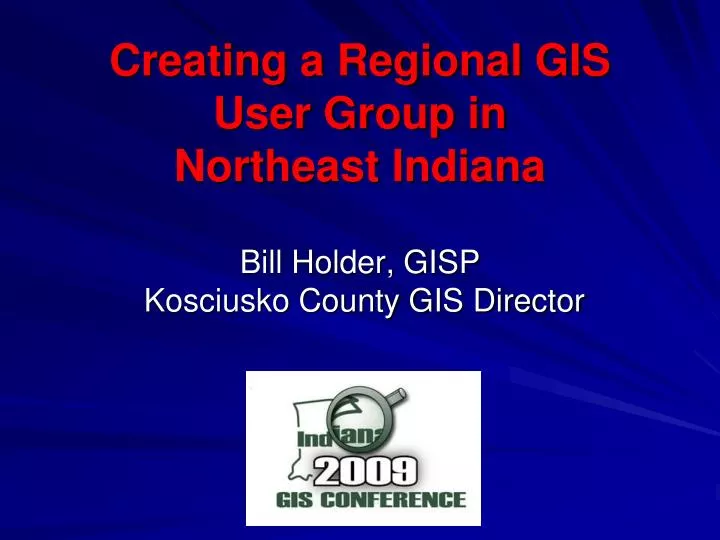
Creating a Regional GIS User Group in Northeast Indiana. Bill Holder, GISP Kosciusko County GIS Director. History of GIS User Groups in Northern Indiana. Northwest Indiana GIS Forum Successful model In existence for 10 + years In Northeast Indiana many attempts at Regional Groups

E N D
Creating a Regional GIS User Group in Northeast Indiana Bill Holder, GISP Kosciusko County GIS Director
History of GIS User Groups in Northern Indiana • Northwest Indiana GIS Forum • Successful model • In existence for 10 + years • In Northeast Indiana many attempts at Regional Groups • MACOG GIS Coordinators Meeting • ESRI Northern Indiana GIS Users Group • Indiana/Michigan Border GIS Group • Schneider Northeast Indiana GIS Users Meeting
Impetus for creation • Local GIS Coordinator’s Meeting – Nov. 2007 • Split up by regions, Northwest, Northeast etc, • Many attendees from the Northeast/ North Central area of the State • There was a real interest in meeting regionally
Defining the region • No scientific method for defining the region • Northwest Indiana GIS Forum Region • If the state was divided into five regions, Northwest, Northeast, Central, Southeast and Southwest • Doesn’t follow any state designated region, IDHS, INDOT etc • Area is comprised of 21 Counties in Northeast Indiana
The First Meeting • Perfect time of year in Northern Indiana • Northeast Indiana GIS Users Group met for the first time on January 31st 2008 in Warsaw • 25 to 30 Attendees
First Meeting Topics • Introductions and description of local projects • Discussion of the User Group • What are everyone’s expectations • Membership – Open or closed • A Charter – A Committee was formed (On Dictionary.com a Charter is defined as: “a document defining the formal organization of a corporate body; constitution”) • Statewide Issues – IGIC/GIO • Data Sharing - IndianaMap • Statewide Ortho program
Naming the User Group • The Northeast Indiana Geospatial Information Community (NIGIC) was selected as the name for our group.
The Charter - Objectives • Create a forum whereby GIS professionals and others interested in geospatial information may network with their peers to exchange ideas, techniques and experiences; to obtain advice about how geospatial information may be used to address the challenges they face; and/or to discuss opportunities for joint, inter-agency projects. • Establish a framework in which the various governmental units, academic institutions and private organizations of Northeastern Indiana may cooperate in the investigation, study, discussion and recommendation of improvements in geospatial information management. • Aid members in the development of a GIS and of GIS personnel within their agencies. • Provide a means whereby the membership’s opinions on geospatial issues affecting the Northeastern Indiana region can be presented as a unified professional voice to State government, to the Indiana Geographic Information Officer (GIO) and to the Indiana Geographic Information Council (IGIC). • Support the Indiana Geographic Information Council and legislation beneficial to the acquisition, improvement, maintenance, use and distribution of geospatial information in Northeastern Indiana. • Advance geospatial knowledge and practice through continuing education of GIS users, elected officials and the general public
The Charter - Notables • Membership is open to all interested individuals. • Members are expressly disallowed from the promotion of their for-profit products and/or services at a meeting unless they are doing so at the request of the Group or in response to a direct question asked during a meeting. • The Officers shall consist of a President, a Vice-President, and a Secretary. • The group will hold quarterly meetings • Charter was approved at July 2008 Meeting
Election of Officers • Elected officers at the October 2008 meeting • President – Dave Estes – Allen County Vice President – Mike Snelling Secretary – Chasity Sandy
Allen County City of Fort Wayne Dekalb County City of Butler Northeastern REMC City of Elkhart Elkhart County City of Goshen City of Mishawaka City of Warsaw Elkhart County City of Kendallville Noble County Wells County Huntington County City of Auburn Kosciusko County Adams County The Schneider Corporation ESRI Indiana GIO Wabash County Whitley County Steuben County Lagrange County Sample of Attendees
Attendee Goals Group was began by a group of City/County users • Utilities – REMC’s, NIPSCO etc. • Colleges and Universities – IUSB, IPFW, Taylor, Trine etc. • Other City/County users in region • State Government – GIS Users in Northeast Indiana • Federal Government – GIS Users in Northeast Indiana • Private Sector – GIS Service Providers, Engineering Firms etc • GIS enthusiasts
Attendee Goals Group was began by a group of City/County users • Utilities – REMC’s, NIPSCO etc. • Colleges and Universities – IUSB, IPFW, Taylor, Trine etc. • Other City/County users in region • State Government – GIS Users in Northeast Indiana • Federal Government – GIS Users in Northeast Indiana • Private Sector – GIS Service Providers, Engineering Firms etc • GIS enthusiasts
NIGIC Speakers • Kevin Holle – City of Fort Wayne Imprevious Surface Project • Tom Brenneman – ESRI – ArcGIS Server and ArcGIS Desktop Topics • Jim Sparks – Indiana GIO – Data Sharing Discussion • Rick Kiersey – City of Kendallville – Detailed Cemetery Mapping Project
Invitation to Next Meeting April 30th 2009 Kosciusko County Justice Building 121 N Lake St Warsaw, Indiana
Thank You Questions