Download
1 / 10
110 likes | 280 Views
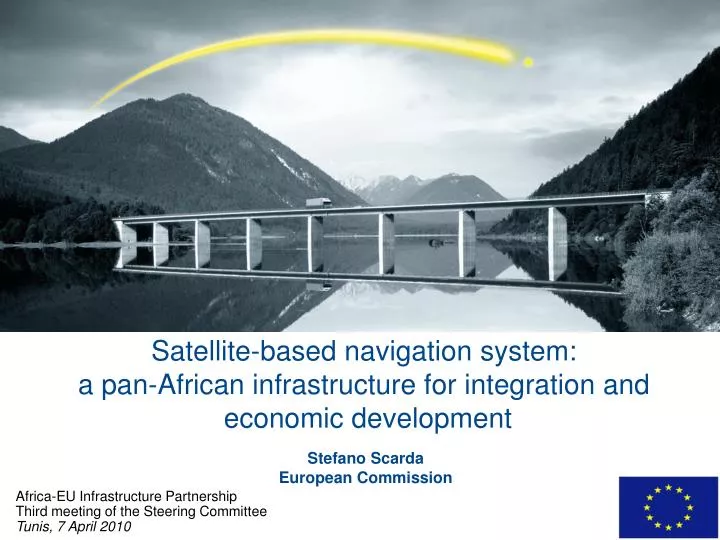
Satellite-based navigation system: a pan-African infrastructure for integration and economic development. Stefano Scarda European Commission. Africa-EU Infrastructure Partnership Third meeting of the Steering Committee Tunis, 7 April 2010. SDCM. GAGAN. Satellite coverage area.

E N D
Satellite-based navigation system:a pan-African infrastructure for integration and economic development Stefano ScardaEuropean Commission Africa-EU Infrastructure Partnership Third meeting of the Steering Committee Tunis, 7 April 2010
SDCM GAGAN Satellite coveragearea Towards a worldwide SBAS coverage WAAS EGNOS EGNOSService Area MSAS Source: Stanford University
Potential further coverage • Service coverage could be extended through deployment of sole ground infrastructure, sharing space segments of the existing systems Coverage scenario presented by the FAA (US)
Benefits of SBAS in Africa • The economic opening-up of airports and isolated regions, by making regional airports currently not equipped with the traditional aid instruments (ILS, VOR, DME) accessible to national, intercontinental, and intra-continental flights • Facilitated exchanges with Europe, through the harmonisation of operational flight procedures between African countries and the rest of the world • Savings on investments at local level, by reducing drastically the need and maintenance costs of ILS-type ground facilities in the airports • Safer guidance during airport approaches • Positive and very substantial repercussions in other sectors, such as the rail transport, agriculture and the territory planning • Reduction of costs and greater reactivity for humanitarian interventions
37 % from Africa is 250km from an ILS equipped airport 87 % from Africa is 250km from a main or regional airport Impact on economic development and integration
Total discountednet benefits (Discount rate of 8%) ~ 520€m Results of a Cost-Benefits Analysis The use of SABS for Africa can bring benefits for various economic sectors Total Net Present Value surpass 500€m over the 2012-2042 (30 years) period Millions of Euro 311
Satellite navigation in the Africa-EU policies • SBAS in Africa is part of the First Action Plan (2008-2010) for the Implementation of the Africa-EU Strategic Partnership(Lisbon Summit, December 2007) • Reaffirmed by Vice-President Tajani at the African Union Open Day on Infrastructure (Addis Ababa, January 2009) • Included in the Communication from the Commission to the European Parliament and to the Council “Partnership between the European Union and Africa. Connecting Africa and Europe: working towards strengthening transport cooperation” (COM(2009) 301 final, 24 June 2009) Euro-Mediterranean Partnership and Neighbourhood Policy with North Africa Cotonou Agreement with sub-Saharan Africa Agreement on Trade, Development and Cooperation with South Africa
Technical feasibility and users’ interest A demonstration of the use of EGNOS for advanced rail traffic management, on low-density rail lines, Gauteng, South Africa 2005 Temporary EGNOS reference stations installed in several African countries: Chad, Cameroon, Central African Republic, Congo, Ethiopia, Kenya, Zambia, Namibia and South Africa; flight testing took place during a East-to-West flight from Dakar to Mombasa on 19-20 May 2005
Programme implementation steps • Preliminary studies • Cost Benefit Analysis • Programming (implementation and management plan) • Governance scheme • Political support • Funding • Implementation (Preparatory phase and infrastructure deployment) … - 2009 2010 2011- • Preparatory phase (2011-2013) • Build core of technical competences • Build a preliminary backbone infrastructure • Training activities • Infrastructure Deployment Phase (2012-2016) • Detailed system design • Deployment of stations across Africa • Service provision and operation 10th EDF Intra-ACP (proposed) ITF Others (to be defined)
Thank you for your attention Further information: http://www.satellite-navigation.eu/