Download
1 / 33
350 likes | 510 Views
Regents Earth Science . Topic II: Measuring the Earth. Is the Earth Round?. Not exactly………so Columbus wasn’t right!. The Earth appears round but when “measured”, it is actually flattened at the poles and bulging at the equator…

E N D
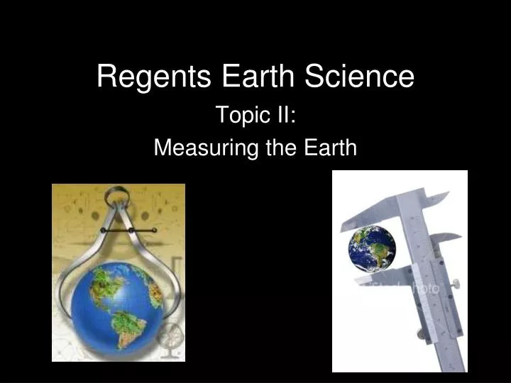
Regents Earth Science Topic II: Measuring the Earth
Is the Earth Round? • Not exactly………so Columbus wasn’t right!
The Earth appears round but when “measured”, it is actually flattened at the poles and bulging at the equator… ….**making the Earth a slightly, slightly, slightly, slightly Oblate Spheroid This is not how It looks!!!!
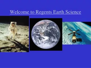
How can we tell that the shape of Earth is nearly a sphere? • Photographs from space (#1)
Masts of ships appearing to “sink” as they travel past the horizon
Gravity Measurements (more gravitational pull at the poles—closer to center of Earth = higher weight)
Spheres of the Earth: • Atmosphere: shell of gases that surround the Earth. • It is layered into zones. Each zone has a specific temperature, and composition
Hydrosphere: all bodies of water on Earth (oceans, lakes, rivers, ground water)—covers 70% of Earth’s surface
Lithosphere: solid portion of the Earth (rock and soil layer)
How do you locate Positions on Earth? • Coordinate System: a grid of imaginary lines that are used to locate a point on a two-dimensional surface (a map)
Latitude-Longitude System: the most commonly used coordinate system used for the Earth. This system is based on observations of the sun and other stars.
Lines of Latitude (Parallels): • Measures distance north or south of the equator (0° • 90° at Poles • Parallel
Lines of Longitude (Meridians): • Measures distances east or west of the Prime Meridian (Prime Meridian is 0--180 is highest) • Lines connect at the north and south poles
How do you determine Latitude? • The angle that Polaris makes with the horizon is equal to the person’s latitude (Polaris never moves) • Altitude = Latitude
Polaris Facts: • Only seen in the Northern Hemisphere (not south of the Equator) • Points Due (exactly) North • NOT the brightest star in the sky! • Use Pointer Stars to Find • Directly above North Pole “Big Dipper”—easy to see
How do you determine Longitude? • Find the time difference between your local time and Greenwich Mean Time (GMT) and then multiply by 15 (Greenwich is at 0 Longitude) • This works because the Earth rotates 15 every hour and the Time Zones are 15 longitude apart (24 total, 1 hour apart)
If your time is EARLIER than the time given for GMT, then you are WEST of the Prime Meridian • If your time is LATER than the time given for GMT, then you are EAST of the Prime Meridian
Mapping • Topographic Maps: shows the shape of Earth’s surface by using contour lines (the shape of the lines indicate the shape of the land)
What are Contour Lines? • lines of equal elevation (height above sea level) **there are other lines on other types of maps as well (Isotherms: equal temperature / Isobars: equal pressure)
What to look for when looking at Topographic Maps: • Contour Interval: difference in height between two adjacent contour lines Index Contour: Bold lines with elevation values Contour Interval = 20 ft.
Scale: distances on a map represent the actual distance on the ground
Map Direction: often indicated by some type of arrow pointing north (if there is no arrow, then north is the top of the map)
Benchmark: a metal marker placed in the ground that shows the exact elevation. ..on a topo map, BM X (Elevation)
Gradient: rate at which a field changes from place to place—also called slope or steepness Change in Field Value Gradient = Distance