Download
1 / 6
60 likes | 131 Views
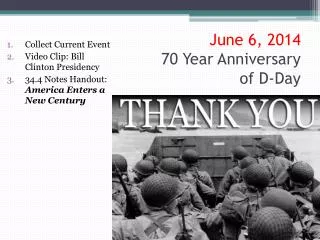
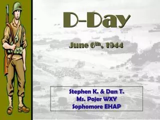
RGS-IBG Unlocking the Archives Year 6 and D Day. This workshop was a role play exercise The children were put into character outside the education room which became the Campaign room

E N D
RGS-IBG Unlocking the ArchivesYear 6 and D Day • This workshop was a role play exercise • The children were put into character outside the education room which became the Campaign room • As soon as they entered they were addressed as new trainees for using photographs and maps to prepare maps for a Northern France landing • This included reminding they had signed the Official Secrets Act • The final accolade : a certificate of achievement
Maps located the position of England in relation to the North French Coast and proposed landings .The nature of the terrain and man made featureswere detected from photographs and map symbols
Photographs from civilian sources • These included low water views This entailed discussion of tides, High Water mark (HWM), Low Water Mark (LWM) beach shape, slope, character and the nature of the coast line generally • There were family groups which highlighted the above and also drew attention to dunes, beach huts, sand types, and access features such as roads.
A close study of Trouvilleusing photographs taken in Trouville in the 1940s and earlier
Four sets of photographs were related to maps and the implications discussed.
Maps , symbols and photographs were used for Exercises 3 & 4