Download
1 / 16
160 likes | 334 Views
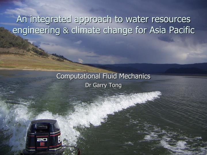
An integrated approach to water resources engineering & climate change for Asia Pacific. Computational Fluid Mechanics Dr Garry Tong. Asia Pacific’s unique location between the equatorial Indian and Pacific Oceans. This presentation is an integration of:. Downscaling of global model results

E N D
An integrated approach to water resources engineering & climate change for Asia Pacific Computational Fluid Mechanics Dr Garry Tong
Asia Pacific’s unique location between the equatorial Indian and Pacific Oceans
This presentation is an integration of: • Downscaling of global model results • Rising sea levels • Hydroinformatics catchment-to-coast • Oceanography, meteorology and the Indonesian Through Flow (ITF)
GCM Models used in the Asia Pacific region for IPCC 4th AR 16 for statistical downscaling 30 year period (1961-1990)
Rising sea levels IPWEA National Conference on Climate Change, Coffs Harbour,2008 Expected 0.9 m rise by end of the 21st century from J Hunter Ways of estimating changes in sea-level extremes under conditions of rising sea level
Hydrologic Feasibility Study for Xuong Rong Lake, Thai Nguyen, Vietnam • flood mitigation • rice paddy agriculture (irrigation, fertilization and drainage) • urbanization (septic tank effluent to stormwater system) • use of comprehensive catchment model HSPF – hydroinformatics for ecological sustainability
Contours added as a layer in ArcGIS With ground contours included as a layer in GIS, the enhanced image can be conveniently used for determining slopes for drainage paths for landuse parcels (with their permeabilities) within subcatchments and the travel distances to recognised watercourses as key data in the catchment model.
Seasonal trend of nitrate (mg/l) into lake basin over 7 years of continuous simulation with HSPF
Water Quality Improvement and Watershed Management - Parliament Lake, Kotte, Sri Lanka SRI LANKA LAND RECLAMATION & DEVELOPMENT CORPORATION
Parliament Lake Canal Network in ColomboElevated coastal seas around the coast of Sri Lanka are possible as a result of the Indo-Pacific warm pool. This will adversely effect flood characteristics throughout the Colombo Canal Network
The Indonesian Throughflow (ITF) The flow of South Pacific source water through the Indonesian Archipelago (ITF) plays a defining role in the regions climate and afar. Walker circulation over the Pacific, a –ve IOD and a containment of the Indo-Pacific warm pool leads to strong precipitation over Asia Pacific. Measurement and modelling have vital roles.