Download
1 / 15
150 likes | 153 Views
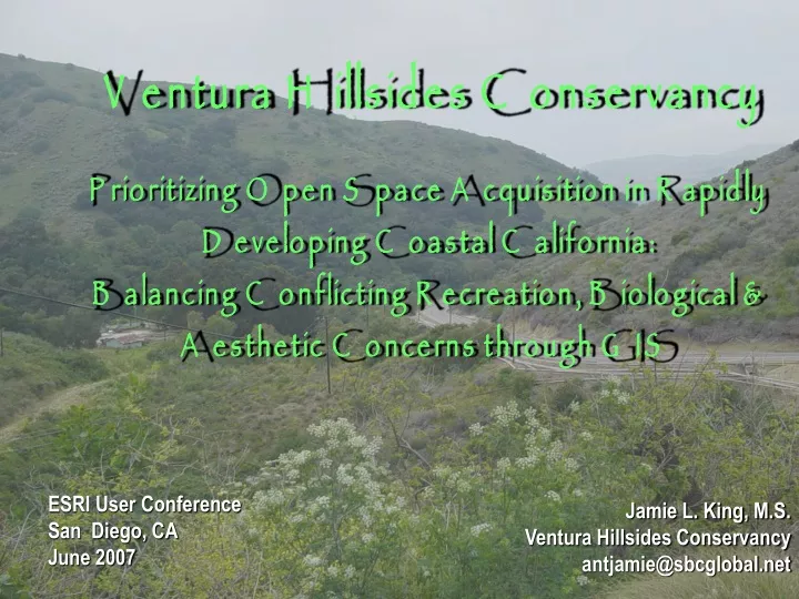
Ventura Hillsides Conservancy Prioritizing Open Space Acquisition in Rapidly Developing Coastal California: Balancing Conflicting Recreation, Biological & Aesthetic Concerns through GIS. ESRI User Conference San Diego, CA June 2007.

E N D
Ventura Hillsides ConservancyPrioritizing Open Space Acquisition in Rapidly Developing Coastal California: Balancing Conflicting Recreation, Biological & Aesthetic Concerns through GIS ESRI User Conference San Diego, CA June 2007 Jamie L. King, M.S. Ventura Hillsides Conservancy antjamie@sbcglobal.net
What is the Ventura Hillsides Conservancy? • Nonprofit, Ventura County, California, US • Mission: preserve open space in perpetuity for public • Launched 2003, 800+ members • Sustained by volunteer support + Music Festival • New Executive Director & office staff
Need for VHC • Unique geographic area • Rapid residential development • Open space protections sunset • 26 protected species/habitats • Need: wildlife connectivity/passive recreation • Land acquisition/management/pass through
First Step: Identify Interest Area • Establish identity • What resources are vital to conserve? • Understand key development threats • Consider regional conservation efforts • Funding sources and sustainable size
Ojai Valley Land Conservancy Ojai Valley Land Conservancy Trust for Public Lands (Ventura River) Trust for Public Lands (Ventura River) The Nature Conservancy The Nature Conservancy (Santa Clara River) Established Interest Area & Regional Conservation Efforts
2004: Initial analysis by UCSB graduate students (~ 19,000 acres/8,000h) 2005: $200,000 California Coastal Conservancy grant 2005-2006: Detailed technical studies by consultants (~66,000 acre/27,000 h) Step 2: Prioritizing Acquisition Areas
Methodology • Analysis based on VHC priorities • Used detailed technical studies, available base layers, and agency input • ArcInfo 9.1 + Spatial Analyst to score parcels • Simple additive weighting between and within Rubrics/parcel • Easily modified with change in needs RARITY SENSITY SPP. HABITAT WETLANDS DEVELOPMENT THREAT CONTIGUITY WILDLIFE CORRIDOR RESTORATION DISTURBANCE CONTIGUITY LANDMARKS PUBLIC ACCESS HABITAT DIVERSITY GRADE VARIABILITY CULTURAL SIG. TRAIL CONNECTION SCENIC RESOURCES DEVELOPMENT THREAT
Biological Resources • Habitat & Species Sensitivity • Local rarity of habitat type • Sensitive spp. occurrence • Wetland quality • Habitat suitability • Local Threat of Development • Habitat Quality • Habitat contiguity • Wildlife movement corridor • Restoration cost
Aesthetic Resources • Viewshed Criteria • Level of disturbance • Distinguishing landforms • Contiguity
Public Access & Recreation Resources • Public Access & Recreation Criteria • Public Access • Habitat Diversity • Grade Variability • Cultural Significance • Trail Connectivity • Scenic Resources • Development Threat
Results • Four key high priority clusters • Aesthetics key for southern clusters • Bio. resources key for northern clusters • Limitations: e.g. where are rivers?
Role of Analysis for Initiating Land Acquisition • Identifies key parcels to focus acquisition • Starting point: portfolio analysis for connectivity and maximum value • Update, modify as opportunities present themselves (riparian funding)
Challenges: Results Vs. Reality • Conflicting goals for prioritizing parcels • Clarifying value-and limitations-of GIS analysis • Unanticipated opportunities: Ventura River Parkway Plan • Unanticipated challenges: property for sale on ebay, • Maintaining and managing GIS data by volunteer staff
1) Focus Property Acquisition Effort! 2) Conceptual Recreation Plan RRMDesign 3) Stewardship Plan Condor Environmental Where Do We Go From Here?
Acknowledgements Original Group Project-UCSB, Bren School Jeanne Boland, Dawn Cunningham, Christina Danko, Heather Imgrund, Jason Kreitler, and Josh Levine; Advisor: Buce Kendall PhD. Funding by a California Coastal Conservancy Grant GIS and Technical Studies-Rincon Consultants Jamie King, M.S. & Lacrissa Cook,MESM, Joe Power, Duane Vander Pluym, DESE, Katherine Warner, Cori Lindbeck Cultural Resources Assessment: Greenwood & Associates Conceptual Recreation Plan: RRM Consultants Conceptual Stewardship Plan: Condor Environmental SCGIS & ESRI International GIS Scholarship Program