Download
1 / 35
350 likes | 515 Views
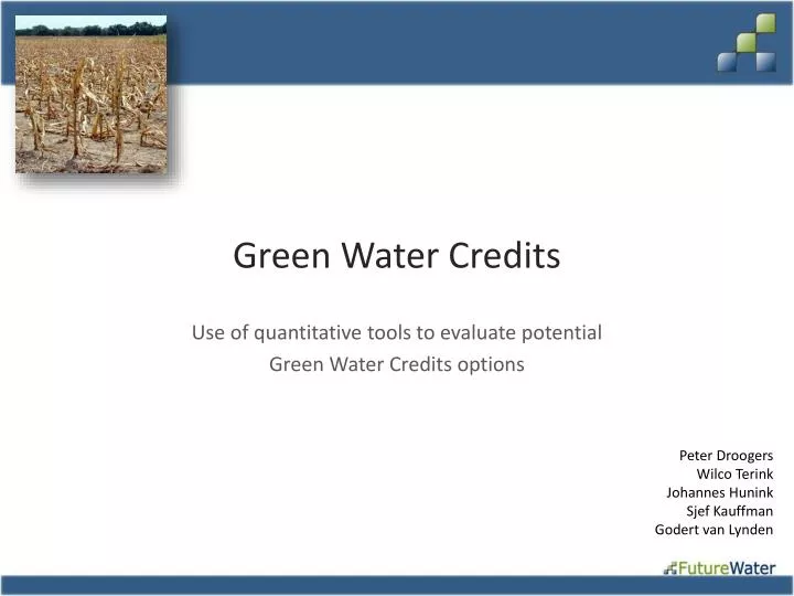
Green Water Credits. Use of quantitative tools to evaluate potential Green Water Credits options. Peter Droogers Wilco Terink Johannes Hunink Sjef Kauffman Godert van Lynden. Blue and Green Water. Example of potential benefits. Introduction. Concepts biophysical analysis.

E N D
Green Water Credits Use of quantitative tools to evaluate potential Green Water Credits options Peter Droogers Wilco Terink Johannes Hunink Sjef Kauffman Godert van Lynden
Tools and Information • Observations • Remote Sensing • Analysis • Statistics Understand past water resources Past Today Future Trend Understand current water resources change ? Options for future • Models - technical • socio-economic • policy oriented
Quantification GWC Impact Changes? Water Consumption? Soil Water Conservation impact? Productive Use? Water Demand? Water Supply?
GWC Proof • Observations in field (flows, erosion) • Precipitation dominant factor • Large scale • experimental plots not possible • Simulation model • experimental basin in PC • multiple options can be tested • various weather conditions (dry-wet)
Podium STREAM SLURP WSBM SWAT WEAP IQQM SWAP AquaCrop Tool Selection continent basin Spatial scale system field high low Physical detail
SWAT and WEAP SWAT (Soil and Water Assessment Tool) • Supply analysis • Physical Based • Impact soil-water-conservation measures • Detailed farm management analysis • Public domain • User friendly interface WEAP (Water Evaluation And Planning systems) • Demand analysis • Conceptual based • Benefit – Costs analysis • Detailed upstream-downstream interactions • Public domain • Very user friendly interface
Methodology • Hydrological models as a tool to simulate the paths of water and soil movement • Upstream-downstream interactions
Methodology • Soil and Water Assessment Tool (SWAT) • Physically based • Focus on water-erosion-land management processes • Public domain • Large user-group worldwide • Successfully applied in many other studies worldwide as well as in Kenya
Data • Data sets required: • Digital Elevation Model (DEM) • Climate • Land use and management • Soils • Streamflow • Reservoirs
Remote Sensing non- RS locally- sourced global public-domain Data Sources Land Cover LAI Topography Climate Soils Groundwater Streamflow Operations Socio-Economic
Data Elevation Landuse Soils Climate
Selection of GWC options • 11 options explored • Bench terraces • Conservation tillage • Contour tillage • FanyaJuu terraces • Grass strips • Micro-catchments for planting fruit trees • Mulching • Rangelands • Ridging • Riverine protection • Trash lines • Labor: intensive vs. extensive • Investment: low vs. high • Implementation on 20% of area ~ 100,000 farmers
Results: Key Indicators • Upstream • Crop transpiration • Soil evaporation • Groundwater recharge • Erosion • Downstream • Inflow Masinga • Sediment load Masinga • Climate • dry (2005) • wet (2006)
WEAP Tool • Impact of changes in water-soil dynamics on: • upstream • rainfed improved production • downstream • hydropower • domestic water supply • irrigation • Benefit-cost analysis • Integrations tool: WEAP
Results: Benefit-Cost Analysis • 20% of area ~ 100,000 smallholders
Conclusions • GWC beneficial for: • upstream • downstream • Analysis tools: • SWAT: (upstream) supply • WEAP: (downstream) demand • Steps • Understand current situation • Explore options • GWC • Biophysical component • Socio-economics • Institutional • Financial
Discussion / conclusions • Smaller focus area • current study: 1.8 million ha total; 0.5 million ha rainfed • Definition of GWC options • effectiveness of implementation • Convincingness of current approach • Rainfed farmers • Downstream beneficiaries • Monitoring system