Download
1 / 18
180 likes | 184 Views
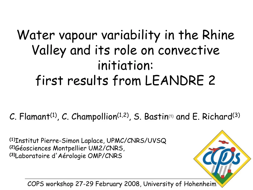
Water vapour variability in the Rhine Valley and its role on convective initiation: first results from LEANDRE 2. C. Flamant (1) , C. Champollion (1,2) , S. Bastin (1) and E. Richard (3) (1) Institut Pierre-Simon Laplace, UPMC/CNRS/UVSQ (2) Géosciences Montpellier UM2/CNRS,

E N D
Water vapour variability in the Rhine Valley and its role on convective initiation: first results from LEANDRE 2 C. Flamant(1), C. Champollion(1,2), S. Bastin(1) and E. Richard(3) (1)Institut Pierre-Simon Laplace, UPMC/CNRS/UVSQ (2)Géosciences Montpellier UM2/CNRS, (3)Laboratoire d'Aérologie OMP/CNRS COPS workshop 27-29 February 2008, University of Hohenheim
LEANDRE 2 01/08/08 around 0810 UTC Objectives • understand the role of mesoscale dynamics processes on the water vapour variability in the Rhine Valley, and particularly on the formation of dry layers and lids above the Atmospheric Boundary Layer (ABL),
Objectives • understand the role of mesoscale dynamics processes on the water vapour variability in the Rhine Valley, and particularly on the formation of dry layers and lids above the Atmospheric Boundary Layer (ABL), • comprehend the relative importance soil moisture, surface heterogeneities, and orography on the ABL water vapour variability, • assess the impact of mesoscale water vapour variability on convection initiation (CI), and the role of dry layers & lids on CI or convection inhibition, • demonstrate the potential of airborne lidar-derived water vapor measurements for improving CI in mesoscale models through 4D assimilation, • contribute to the water vapour profiling instruments intercomparison.
Tools & strategy • Systematic sampling of water vapour in the Rhine Valley (incl. the Vosges and the Black Forest) using the airborne DIAL LEANDRE 2, prior to CI events, • implementation of supersites with dedicated profiling systems, • Mesoscale simulations (control and sensitivity analyses), • lidar-derived water vapour mixing ratio profiles assimilation experiments (using AROME).
Data Systematic sampling of water vapour in the Rhine Valley using the airborne DIAL LEANDRE 2, prior to CI events: LEANDRE 2 IOP 8b (15/07) High-pressure convection 2 flights: 0630 - 0950 UTC 1141 – 1457 UTC LEANDRE 2 IOP 9c (20/07) Forced convection 1 flight: 0657 – 0918 UTC LEANDRE 2 IOP 13a (01/08) High-pressure convection 2 flights: 0808 – 1106 UTC 1344 – 1643 UTC Water vapour mixing ratio Horizontal resolution ~3 km Vertical resolution ~300 m Atmospheric reflectivity Horizontal resolution ~3 km Vertical resolution ~300 m
IOP 8b (15/07) High-pressure convection Meso-NH 1000 m Winds & wvmr
IOP 8b (15/07) High-pressure convection Meso-NH 1000 m Winds & wvmr
B1B5 C1C5 D1D5 West of Vosges Vosges Rhine Valley CI Time
Time B4D4G4 North / Supersite R B3D3G3 Latitude Supersite V B1D1G1 South / Burnhaupt
IOP 9c (20/07) Forced convection G4B4: 0657-0708 UTC B3G3: 0712-0724 UTC
IOP 9c (20/07) Forced convection G2B2: 0732-0744 UTC G1D1: 0806-0814 UTC
IOP 13a (01/08) High-pressure convection Meso-NH 2000 m Winds & wvmr Meso-NH 1000 m Winds & wvmr
IOP 13a (01/08) High-pressure convection Meso-NH 2000 m Winds & wvmr Meso-NH 1000 m Winds & wvmr
dust Time B4G4 North / Supersite R B3G3 Latitude Supersite V B2G2
Saharan air mass C1C5 D1D5 E1E5 Vosges Rhine Valley Black Forest Time
Conclusions and perspectives • great LEANDRE 2 dataset, we should be able to complete our initial objectives !! • LEANDRE 2 dataset quality currently being assessed by Paolo’s group (bias & RMS deviation, see Rohini’s talk), • data available right now!!! cyf@aero.jussieu.fr • 15 July & 1 August day long evolution, • 15 & 20 July pre-CI observations in the Rhine Valley. • design mesoscale simulations 15 & 20 July, 1 August cases and sensitivity experiments, • liaise with other experimental groups, • conduct 4D-VAR assimilation experiments of airborne lidar-derived water vapour measurements, • contribute to the IASI water vapour profiling validation.
First comparison of IASI water vapor mixing ratio profiles with airborne DIAL LEANDRE 2, dropsondes and radiosondes observations over the Black Forest region during COPS C. Flamant, H. Herbin, C. Champollion Data from: IOP 8b (15/07): LEANDRE 2, RDS in Hornisgrinde & IASI IOP 13a (01/08): LEANDRE 2, dropsondes, RDS in Hornisgrinde & IASI
LEANDRE 2 IOP 8b (15/07) G4B4: 0630-0643 UTC Intercomparison region: Hornisgrinde (Black Forest) Profil IASI: 0905 UTC RDS: 0800 UTC DIAL LEANDRE 2 Hornisgrinde