Download
1 / 9
90 likes | 206 Views
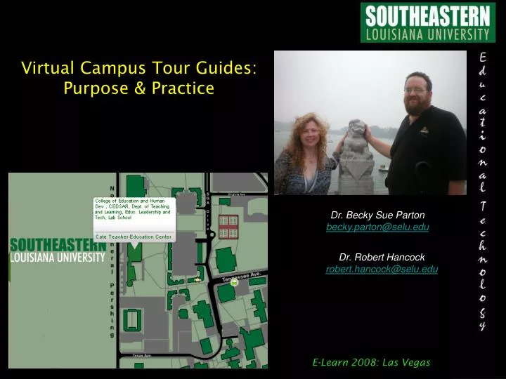
Virtual Campus Tour Guides: Purpose & Practice. Dr. Becky Sue Parton becky.parton@selu.edu. Dr. Robert Hancock robert.hancock@selu.edu. E-Learn 2008: Las Vegas. AT&T Grant Summary.

E N D
Virtual Campus Tour Guides: Purpose & Practice Dr. Becky Sue Parton becky.parton@selu.edu Dr. Robert Hancock robert.hancock@selu.edu E-Learn 2008: Las Vegas
AT&T Grant Summary • The Grant’s Purpose: To Develop a GPS-based mobile system to provide location-sensitive data access during a campus tour. • Rationale: • Today’s students expect technology to be infused throughout their college experience and the campus tour is often their first contact. • Virtual tours alone do not provide students with the same connection as on-campus tours. • Students whose primary language is not English may be encouraged to attend when provided bilingual materials. • A mobile system could be expanded beyond a tour and become an everyday resources for students, faculty, and visitors. • The tour could be expanded from outside points using GPS to inside points of interest if combined with RFID or barcode technology. E-Learn 2008: Las Vegas
Examples from the Literature Georgia Tech (1997): “Cyberguide: A mobile context-aware tour guide” • Designed a system that worked either indoors (using infrared) or outdoors (using a GPS). The GPS unit was attached to an Apple MessagePad and the resulting longitude/latitude position was translated into a pixel coordinate to represent the user’s position on a map & provide information. • Project predicted that “context-aware” tour guides could include video cameras (so the computer could “identify” locations), provide overlay views for users to “see” underground or in walls – to aid electricians or archeologist students for example. They also predicted the tour guide would facilitate tasks along the tour such as purchasing tickets for the football game while at the stadium area. E-Learn 2008: Las Vegas
Examples from the Literature Rice University (2001): “Robust localization algorithms for an autonomous campus tour guide” • A robot gives the tours without human intervention. • It is an ATRV Jr. with an added GPS receiver. • Paper focused on ways to get accurate data when the GPS signal is obstructed (i.e. heavy trees etc). • Goal is to incorporate voice recognition also so that users can ask questions as they tour and the robot will respond with location-sensitive answers. E-Learn 2008: Las Vegas
Examples from the Literature Cornell University (2002): “Context-Aware Computing: A Test Case” • Project called “Campus Aware” • Used a Palm Pilot with an external GPS receiver • Users could add text notes to any location (using the mobile device) or use a web-based interface on their desktop. • Study had 32 participants using the system for 1 hour. • Study found that the system was a major distraction – users looked at it more than at the physical buildings. • About half of the notes added were factual, the other half were advise so it gave a sense of “inside” information. • There were problems with the accuracy of some notes. • Three parts to touring: learning, planning, & navigating. (Students wanted navigation but only ‘learning’ provided.) • Issues with scalability – i.e. overwhelming # of notes. E-Learn 2008: Las Vegas
Examples from the Literature University of Washington (2004): “Topiary: A Tool for Prototyping Location-Enhanced Applications” • Topiary creates models and maps that “fake” location information. • The idea is to make prototyping and designing easier and quicker. E-Learn 2008: Las Vegas
Platform Considerations • Phones are preferred over PDAs because: • More people have cell phones • The user does not need to be in a “hotspot” (802.11b area) • The phones must be equipped with: • GPS capabilities • browser access to web pages • We are considering development on two platforms in order to compare during testing (Windows Mobile and the iPhone). The HP iPAQ hw6515 has the added benefit of a SDIO slot for an RFID reader plug-in. The iPhone has the added benefit of an available developer’s kit to create custom gadgets. E-Learn 2008: Las Vegas
Features & FunctionsConsiderations • Loan phones or Use personal phones? (i.e. download a gadget) • Provide as a solo device or as a supplement during a live tour? • Outside only or both inside/outside ? (inside – 2D barcodes or RFID?) • Allow user created updates ? • Location driven or inquiry based (i.e. ask about places other than where you are at) • Provide individualized messages? (i.e. your library book is overdue) E-Learn 2008: Las Vegas
Features & FunctionsDiscussion! Your Turn for Input!! E-Learn 2008: Las Vegas