Download
1 / 20
200 likes | 308 Views
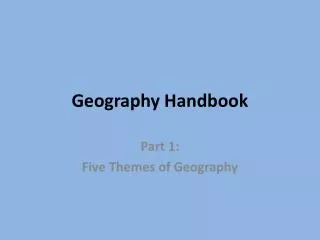
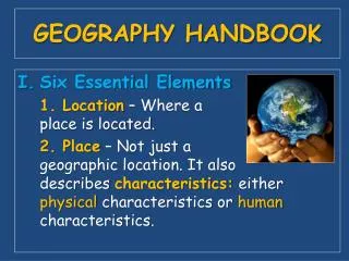
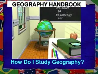
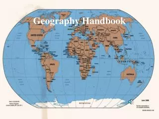
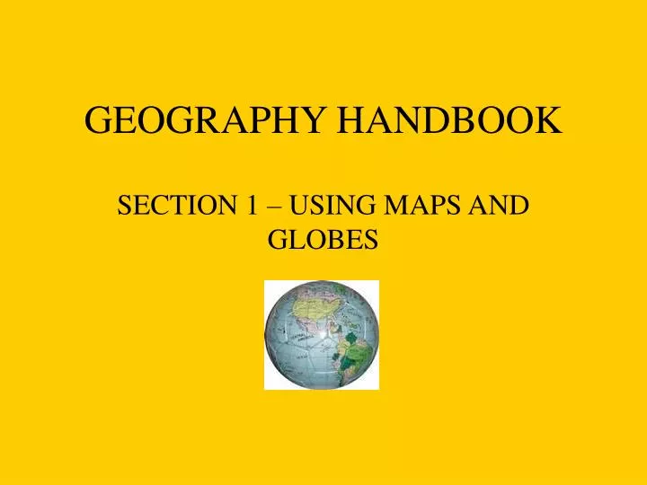
GEOGRAPHY HANDBOOK. SECTION 1 – USING MAPS AND GLOBES. A globe is a model of the Earth. It shows the Earth’s shape, lands, distances and directions. A map is a drawing of the Earth shown on a flat surface.

E N D
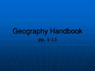
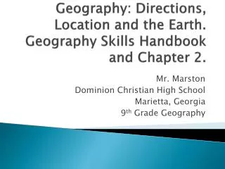
GEOGRAPHY HANDBOOK SECTION 1 – USING MAPS AND GLOBES
A globe is a model of the Earth. • It shows the Earth’s shape, lands, distances and directions.
A map is a drawing of the Earth shown on a flat surface. • There are several kinds of map projections – ways of showing the Earth on a flat piece of paper. • Each projection has its strengths and weaknesses – they all have distortions. • Maps have either correct size or shapes but never both. * Mercator Projection, Goode’s Interrupted Projection, Robinson Projection, Winkel Tripel Projection *
Winkel Triple Projection Mercator Projection
To locate places on the Earth, geographers use imaginary lines – lines of latitude and longitude.
Lines of Latitude Latitude is defined as distance north or south of the Equator measured in degrees.
Lines of Latitude • Latitude lines run east to west and they are called parallels as well. • They measure distances north or south of the Equator. • They are numbered 0 to 90 degrees N or S. • The Equator is numbered 0 degrees.
The Equator divides the Earth into the Northern and Southern Hemispheres. The Equator is used as the starting point to measure latitude. • A hemisphere is half a globe. • Northern Hemisphere = 0 to 90 degrees N • Southern Hemisphere= 0 to 90 degrees S
Northern Hemisphere Southern Hemisphere
There are some special latitude lines. • At 66 ½ degrees N – Arctic Circle • 23 ½ degrees N - Tropic of Cancer • 23 ½ S – Tropic of Capricorn • 66 ½ S – Antarctic Circle • The Equator – exactly half way between the poles
Latitude affects climate. • The sun’s rays are shorter and more direct at the lower latitudes – so it is hotter there all year – tropics. ( 0 – 30 degrees) • The mid-latitudes have four seasons. ( 30 – 60 degrees) • The higher latitudes are cold all year – polar. ( 60 – 90 degrees)
Latitude Lines on the Map • Havana, Cuba, NA • Beijing, China, Asia • Quito, Ecuador, SA • Lisbon, Portugal, Europe • Ottawa, Canada, NA • Hobart, Australia • Anchorage, Alaska, USA (NA)
Latitude Lines in the Book • RA 9 – 10 (all in USA) • Trenton, New Jersey • San Antonio, Texas • Jacksonville, Florida • Nunivak Island, Alaska • San Francisco, California • Boston, Massachusetts
Lines of Longitude • Longitude lines are also called meridians. • They run from pole to pole and measure distance east or west of the Prime Meridian. • They are numbered 0 to 180 degrees E or W.
The Prime Meridian is numbered 0 degrees. It runs through Greenwich, England. • It divides the Earth into the Eastern (0 – 180 E) and Western Hemispheres (0 – 180 W).
Longitude Lines on the Map • New Orleans, Louisiana, USA • London, England, Europe • Manila, the Philippines, Asia • Anchorage, Alaska, USA • Melbourne, Australia • Cape Town, South Africa, Africa
Longitude Lines in the Book • RA 2- 3 Guatemala City, Guatemala, NA Colombo, Sri Lanka, Asia Canberra, Australia St. Petersburg, Russia, Europe Washington, D.C., USA
THE GRID SYSTEM • All countries use this same latitude and longitude system. • Together these lines form a grid allowing geographers to note an absolute location. • Absolute location is where the lines cross. It is the exact location of a place on the earth. • Tokyo, Japan – 36 N, 140 E.
LATITUDE and LONGITUDE • London, England, Europe • Perth, Australia • Tokyo, Japan, Asia • Chicago, Illinois, USA • Montevideo, Uruguay, South America • San Francisco, California, USA
Using the Book – RA2 - 3 • Houston, Texas, USA • Moscow, Russia, Asia • Wellington, New Zealand, Oceania • La Paz, Bolivia, South America • Nuuk, Greenland • Addis Ababa, Africa • Riyadh, Saudi Arabia, Asia