Download
1 / 17
170 likes | 338 Views
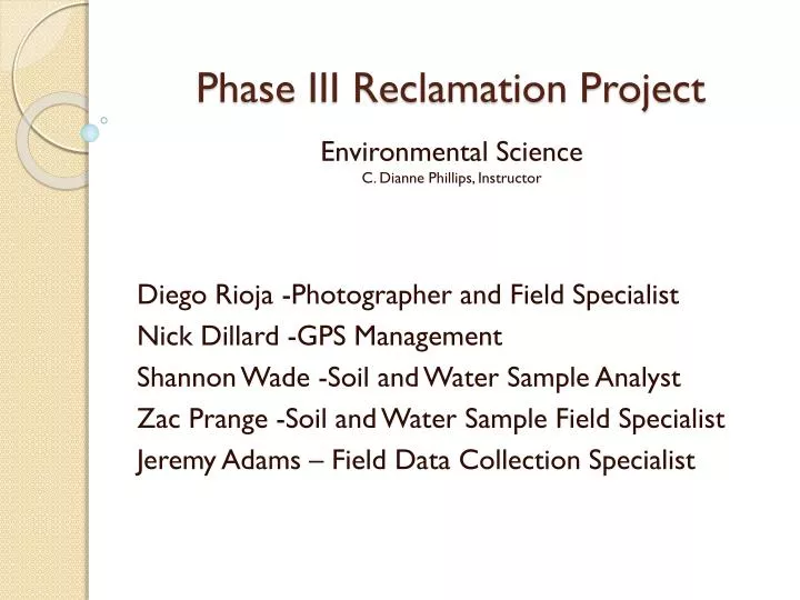
Phase III Reclamation Project. Environmental Science C. Dianne Phillips, Instructor Diego Rioja -Photographer and Field Specialist Nick Dillard -GPS Management Shannon Wade -Soil and Water Sample Analyst Zac Prange - Soil and Water Sample Field Specialist

E N D
Phase III Reclamation Project Environmental ScienceC. Dianne Phillips, Instructor Diego Rioja -Photographer and Field Specialist Nick Dillard -GPS Management Shannon Wade -Soil and Water Sample Analyst ZacPrange -Soil and Water Sample Field Specialist Jeremy Adams – Field Data Collection Specialist
Project Overview • To analyze, identify and describe the habitat of NWACC’s “Back-Forty.” • To aid in future preservation of this natural habitat. • Collect water and soil samples. • Gather GPS points of the area to accurately identify the boundaries of the area.
Methods • We first plotted the GPS points around the area to establish boundaries of preservation. • After plotting the exact GPS locations of the area, we took soil samples from various GPS points and mapped them accordingly. • We then took water samples from the small spring-fed pond and placed those on our GPS map as well. • Once all the samples were obtained, we then began to test the nutrients in the water and further classify soil types.
GPS Points • We each took part in the setup or operation of the Trimble GPS system. • Using the Trimble GPS system, we correctly plotted the exact points of the “Back-Forty” boundary and generated a working field map of the area.
Comparing field GPS data with Google Earth coordinates Collecting GPS data in the field Nick and Jeremy
Soil Sample Results • After testing the soil using the Natural Resources Conservation Classification System, we found the different types that occur naturally around the area and plotted each point on the GPS map. • Four Dominant Soil Types: • Sandy-clay Loam • Clay Loam • Silty-clay Loam • Sandy Loam
Soil Sample Table Soil sample Department of Agriculture Soil Classification, Natural Resources Conservation Classification System
Nick Shannon Diego Jeremy Collecting Soil samples and GPS points
Water Sample Results • We then took water samples from the small spring-fed pond and used a Water Quality Sample Test Kit to determine the PH level and the amounts of ammonia, nitrates and phosphates.
spring fed pond Shannon & Zac Zac water tests – grab samples Diego helps Ms. Phillips
Lab Testing of Water Samples Zac Shannon, Jeremy and Zac
Water Sample Table In House Water Quality Sample Test Kit
Student Experience • Each student was given the opportunity to interact with the environment through field work and data collection techniques. • We learned field data collection techniques as well as simple laboratory testing techniques. • We were introduced to technology and developed communication skills. • We also learned the importance of teamwork and commitment when working in small groups. • With the help of campus professors, we learned how to network locally. • Most importantly, we contributed to the future preservation of a small and natural habitat on our college campus. Shannon, Jeremy, Nick, Diego and Zac (photographer)
Technology • Trimble GPS • Google Earth • Water Quality sample test kits • Microsoft Power Point, Front Page (Webdesign), Excel, Word • Digital Camera
Community Contacts • Dianne Phillips, EAST/EMPACTS Facilitator, Math & Science Faculty, NWACC • Dr. Michael Canoy, Adjunct Math & Science Faculty, NWACC • Dr. Marvin Galloway, Dean of Math & Science, NWACC • Daniel Lowe, EAST/EMPACTS Student, Phase III Reclamation Project, NWACC
Conclusion • Our research revealed a viable habitat filled with animal and plant life. The Phase III reclamation area is capable of sustaining life and the area should be preserved. • In testing the pond, we found abundant aquatic animal and plant life. The surrounding soils were capable of sustaining field grasses, forests and a natural “wetland.” • With the proper commitment and tools, the “Back-Forty” can be a self-maintaining habitat which may one day become an amazing interactive classroom.