Download
1 / 75
750 likes | 960 Views
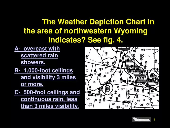
#4208. The Weather Depiction Chart in the area of northwestern Wyoming indicates? See fig. 4. A- overcast with scattered rain showers. B- 1,000-foot ceilings and visibility 3 miles or more. C- 500-foot ceilings and continuous rain, less than 3 miles visibility. Sorry that is Incorrect.

E N D
#4208. The Weather Depiction Chart in the area of northwestern Wyoming indicates? See fig. 4. A- overcast with scattered rain showers. B- 1,000-foot ceilings and visibility 3 miles or more. C- 500-foot ceilings and continuous rain, less than 3 miles visibility.
Sorry that is Incorrect. Go Back and Try Again.
That’s Right!!! Next Question
#4237. What weather conditions are depicted in the area indicated by Arrow “F” on the Radar Summary Chart? Fig 8. A- Line of echoes; thunderstorms; highest echo tops 45,000 feet MSL; no line movement indicated. B- Echo bases vary from 15,000 feet to 46,000 feet MSL; thunderstorms increasing in intensity; line of echoes moving rapidly toward the north. C- Line of severe thunderstorms moving from south to north; echo bases vary from 4,400 feet to 4,600 feet MSL; extreme echoes.
Sorry that is Incorrect. Go Back and Try Again.
That’s Right!!! Next Question
#4234. What weather conditions are depicted in the area indicated by Arrow “E” on the Radar Summary Chart? See fig 8. A- Highest echo tops 30,000 feet MSL; weak to moderate echoes; thunderstorms and rain showers; cell movement toward northwest at 15 knots. B- Echo bases 29,000 to 30,000 feet MSL; strong echoes; rain showers increasing in intensity; area movement toward northwest at 15 knots. C- Thundershowers decreasing in intensity; area movement toward northwest at 15 knots; echo bases 30,000 feet MSL.
Sorry that is Incorrect. Go Back and Try Again.
That’s Right!!! Next Question
#4235. For most effective use of the Radar Summary Chart during preflight planning, a pilot should A- consult the chart to determine more accurate measurements of freezing levels, cloud cover, and wind conditions between reporting stations. B- compare it with the Weather Depiction Chart to get a three-dimensional picture of clouds and precipitation. C- utilize the chart as the only source of information regarding storms and hazardous conditions existing between reporting stations.
Sorry that is Incorrect. Go Back and Try Again.
That’s Right!!! Next Question
#4217. The 24-Hour Low Level Significant Weather Prog at 12Z indicates that southwestern West Virginia will likely experience. Fig 18 A- ceilings less than 1,000 feet, visibility less than 3 miles. B- clear sky and visibility greater than 6 miles. C- ceilings 1,000 to 3,000 feet and visibility 3 to 5 miles.
Sorry that is Incorrect. Go Back and Try Again.
That’s Right!!! Next Question
#4216. A planned low altitude flight from northern Florida to southern Florida at 00Z is likely to encounter. Fig 18 A- intermittent rain or rain showers, moderate turbulence, and freezing temperatures above 8,000 feet. B- showery precipitation, thunderstorms & rain showers covering half or more of the area. C- showery precipitation covering less than half the area, no turbulence below 18,000 feet, and freezing temperatures above 12,000 feet.
Sorry that is Incorrect. Go Back and Try Again.
That’s Right!!! Next Question
#4185. Which forecast provides specific information concerning expected sky cover, cloud tops, visibility, weather, and restriction to vision in a route format? A- DFW FA 1312240 B- MEM TAF 132222 C- 249 TWEEB 252317
Sorry that is Incorrect. Go Back and Try Again.
That’s Right!!! Next Question
#4233. What weather conditions are depicted in the area indicated by arrow “B” on the Radar Summary Chart? See fig 8. A- Weak echoes; heavy rain showers; area movement toward the southeast. B- Weak to moderate echoes; rain showers increasing in intensity. C- Strong echoes; moderate rain showers; no cell movement.
Sorry that is Incorrect. Go Back and Try Again.
That’s Right!!! Next Question
#4215. What information is provided by a Convective Outlook (AC)? A- It describes areas of probable severe icing and severe or extreme turbulence during the next 24 hours. B- It provides prospects of both general and severe thunderstorm activity during the following 24 hours. C- It indicates areas of probable convective turbulence and the extent of instability in the upper atmosphere (above 500 MB).
Sorry that is Incorrect. Go Back and Try Again.
That’s Right!!! Next Question
#4239. The Severe Weather Outlook Chart which is used primarily for advance planning, provides what information? A- An 18-hour categorical outlook with a 48-hour valid time for severe weather watch, thunderstorm lines, and areas of expected tornado activity. B- A preliminary 12-hour outlook for severe thunderstorm activity and probable convective turbulence. C- A 24-hour severe weather outlook for possible general and severe thunderstorm activity.
Sorry that is Incorrect. Go Back and Try Again.
That’s Right!!! Next Question
#4182. What significant cloud coverage is reported in this METAR observation?METAR KBNA 1250Z 33018KT 290V360 1/2SM R31/2700FT +SN BLSNFG VV008 00/M03 A2991 RMK RAE42SNB42” A- Runway 31 ceiling is 2,700 feet. B- Sky is obscured with vertical visibility of 800 feet. C- Measured ceiling is 300 feet overcast.
Sorry that is Incorrect. Go Back and Try Again.
That’s Right!!! Next Question
#4203. The reporting station originating this Aviation Routine Weather Report has a field elevation of 620 feet. If the reported sky cover is one continuous layer, what is its thickness? (tops are reported at 6500 feet)METAR KMDW 121856Z AUTO 32005KT 1 1/2SM +RAFG OVC007 17/16 A2980” A- 5,180 feet. B- 5,800 feet. C- 5,880 feet.
Sorry that is Incorrect. Go Back and Try Again.
That’s Right!!! Next Question
#4205. What is meant by the entry in the remarks section of METAR surface report for KBNA?“METAR KBNA 211250Z 33018KT 290V260 1/2SM R31/2700FT +SN BLSNFG VV008 00/M03 A2991 RMK RAE42SNB42” A- The wind is variable from 290 degrees to 360 degrees. B- Heavy blowing snow and fog on runway 31. C- Rain ended 42 past the hour, snow began 42 past the hour.
Sorry that is Incorrect. Go Back and Try Again.
That’s Right!!! Next Question
#4228. From which primary source should you obtain information regarding the weather expected to exist at your destination at your estimated time of arrival? A- Weather Depiction Chart. B- Radar Summary and Weather Depiction Chart. C- Terminal Aerodrome Forecast.
Sorry that is Incorrect. Go Back and Try Again.
That’s Right!!! Next Question
#4170. The body of a Terminal Aerodrome Forecast (TAF) covers a geographical proximity within a A- 5 to 10 mile radius of the center of an airport. B- 10 to 15 mile radius of the center of an airport. C- 15 to 20 mile radius of the center of an airport.
Sorry that is Incorrect. Go Back and Try Again.
That’s Right!!! Next Question
#4178. When the visibility is greater than 6 SM on a TAF it is expressed as A- 6PSM. B- P6SM. C- 6SMP.
Sorry that is Incorrect. Go Back and Try Again.
That’s Right!!! Next Question
#4177. A calm wind entry in a Terminal Aerodrome Forecast (TAF) will be indicated when the wind is A- 3 knots or less. B- 6 knots or less. C- 9 knots or less.
Sorry that is Incorrect. Go Back and Try Again.