Download
1 / 43
430 likes | 563 Views
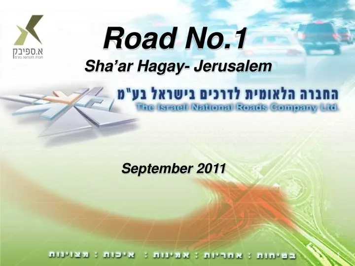
Road No.1 Sha’ar Hagay - Jerusalem. September 2011. Regional Map. Tel - Aviv. Sha’ar Hagay. Jerusalem. General description and project’s goals. General

E N D
Road No.1 Sha’arHagay- Jerusalem September 2011
Regional Map Tel - Aviv Sha’ar Hagay Jerusalem
Generaldescription and project’s goals General Road no. 1 serves as the central artery and access gate to Jerusalem. This road is defined in the regional zoning plan as a “highway”, but in practice does not meet the current functional criteria that define a highway. The section from Sha’ar Hagay to Jerusalem is comprised of 2 lanes in each direction, and is already incapable of supporting the traffic volumes presently using this section. The road includes a narrow median, is bordered by narrow shoulders and by safety guardrails that do not comply with the new, currently accepted standards.
Generaldescription and project’s goals General (cont.) Long sections of the road are inclined, and the road also includes sharp and dangerous curves. Delays in the traffic flow in this section are routine, even in non-peak hours, and sometimes even in the late evening hours and at night.
Generaldescription and project’s goals Project goals: Upgrading and expanding road no. 1 in the section from the Sha’ar Hagay interchange to the Motza interchange in the Arazim valley area – a total of about 16 Km. Transforming the national road to Jerusalem into a 3-lane, bi-directional road, with a design speed of 90 KPH, modifying the road to meet safety guidelines, and turning it into an environmentally friendly and scenic road, properly corresponding to its transport importance as the gateway to Israel’s capital city.
Generaldescription and project’s goals • Project goal: • Increasing the design speed to 90 KPH (driving speed of 90 KPH). • Increasing the road’s affective capacity. • Shortening driving times. • Improving driving comfort. • Reducing the incidents of queues or irregularity in the traffic flow. • Safety improvements aimed at reducing the number of road accidents. • Upgrading of lighting and drainage systems, conducting scenic restoration work and treating slopes, quarrying & filling.
Typical basic cross-section The basic cross section width for the road will be 35 meters, and will include: 3 lanes in each direction, a median at a reduced width of 4 meters, and 3 meter wide shoulders on each side. The grade will reach a maximum of 8%.
Generaldescription and project’s goals • Major elements: • Construction of 3 interchanges: KiryatYearim, Hemmed and Harrel • Construction of 2 tunnels, each 650 meters long (Harrel Tunnels) • Construction of 2 bridges, each 800 meters long (Motza Bridges) • Building of retaining walls, including temporary walls during construction stages • Building underground agricultural crossings • Building a 90 meter long ecological bridge • Executing paving and infrastructure work on a total of 16 km. along road no. 1 • Executing scenic landscaping work, including restoration of slopes
Typical low fill section 1.30 3.00 10.80 2.00 2.00 10.80 3.00 1.30 0.70 רוחב פעיל רוחב פעיל שוליים מסעה מפרדה מסעה שוליים ע.ת. מתוכנן ע.ת. מתוכנן Hמעקה בטון לרמת בלימה 2
Typical high fill section 1.30 3.00 10.80 2.00 2.00 10.80 3.00 1.30 רוחב פעיל רוחב פעיל מפרדה מסעה שוליים שוליים מסעה ע.ת. מתוכנן Hמעקה בטון לרמת בלימה 2 ע.ת. מתוכנן
Typical cut section 1.30 3.00 10.80 2.00 2.00 10.80 3.00 1.30 0.70 רוחב פעיל רוחב פעיל שוליים שוליים מסעה מפרדה מסעה Hמעקה בטון לרמת בלימה 2 ע.ת. מתוכנן ע.ת. מתוכנן תעלת בטון מלבנית לניקוז
Minimal section for execution stages 23,40 21,40 0.6 1.0 1.0 1.0 3.6 3.6 1.2 1.2 3.6 3.6 1.0 שוליים זמניים מיסעה זמנית מיסעה זמנית שוליים זמניים מיסעה זמנית מיסעה זמנית מפרדה זמנית רוחב פעיל רוחב פעיל
Typical section for execution stage 2 מילוי קיר תומך זמני
Typical section for execution stage 3 מילוי קיר תומך זמני
Shoresh – KiryatYearim section לתל אביב קרית יערים/טלזסטון מחלף קרית יערים מחלף שורש לירושלים שואבה
KiryatYearim – Hemmed section לתל אביב מחלף חמד מחלף קרית יערים לירושלים
Hemmed – Motza section מחלף חמד מחלף הראל ואדי ארזה גשר מוצא מנהרת הראל
Harrel Tunnels & Interchange Two tunnels, each 650 meters long
Harrel Tunnels – Typical section 15.5מ' 18 – 15 מ' 15.5מ'
ArzaWadi Arza Wadi Harrel Tunnel Motza bridge
Motza Bridge - General Layout Two tunnels, each 800 meters long