Download
1 / 25
250 likes | 392 Views
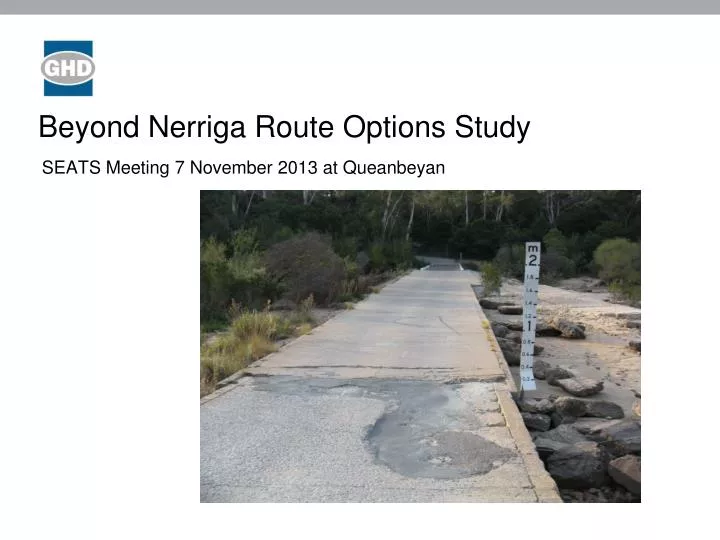
Beyond Nerriga Route Options Study. SEATS Meeting 7 November 2013 at Queanbeyan. Image placeholder. Presentation overview. Study purpose / background Study area Project objectives Methodology Route options Progress to date Preferred route selection Traffic model Next steps

E N D
Beyond Nerriga Route Options Study SEATS Meeting 7 November 2013 at Queanbeyan Image placeholder
Presentation overview Study purpose / background Study area Project objectives Methodology Route options Progress to date Preferred route selection Traffic model Next steps Questions
Study purpose / background • Study’s prime aim is to identify a preferred route(s) for HML B-Doubles across the escarpment from the NSW South Coast to the Monaro, Federal, Kings and/or Hume Hwy’s • Total funding commitment of $300k - $200k from NSW Gov’t and $100k from five local councils (Goulburn-Mulwaree, Palerang, Shoalhaven City, Upper Lachlan Shire and Yass Valley) • Managed by a Technical Committee - representatives RMS, TfNSWand the five local councils • Project managed on behalf of SEATS by Steve Warrell • Study programmed to be completed in 36 weeks – mid Nov 2013
Study area • Generally, bounded by Hume Hwy to the west, Goulburn, MR92 Nerriga to Braidwood, Kings Hwy, Canberra and the Barton Hwy • Note - traffic network modelling is beyond the study area
Project Objectives • Determine a preferred route that, as a minimum: • Improves freight productivity, efficiency and reliability of travel; • Improves road safety; • Can meet required design standards; • Minimises the impact on the natural, cultural and built environment; • Maximises the use of existing assets; • Has the ability to be staged; and • Provides value for money.
Methodology • Project Review – previous studies • Workshops with key stakeholders – heavy vehicle traffic demands (existing/future) within study area and beyond • Request and receipt all traffic and crash data from Councils and Gov’t authorities • Build GIS mapping to assist understanding of constraints and route selection • Heritage (AHIMS, Non-Indigenous) • State Forest / National Parks • Crash data • Topography • Other miscellaneous data • Build a network traffic model – base model (calibrated) and predictive modelling for option assessment
Methodology cont’d • Develop and confirm project objectives with TC • Develop and confirm assessment criteria with TC (in line with project objectives) • Build cost estimates for the 3 route options and staging options • Selection of a preferred route with TC • Draft Route Options Report • Meet and present Draft Route Options Report • Finalise Route Options Report
Route options • ARUP Study 1999 identified 5 key route options – • Nowra – Nerriga – Tarago – Collector – Gunning • Nowra – Nerriga – Tarago – ACT • Nowra – Nerriga – Goulburn • Nowra – Nerriga – Braidwood – Cooma • Nowra – Nerriga – Braidwood - Bungendore - ACT
Route options cont’d • Current study considering 3 route options only – • 1. Nerriga – Tarago – Collector – Gunning - Yass (green) • 2. Nerriga – Braidwood – Bungendore – Murrumbateman – Yass (red) • and a combination of the above • Nerriga – Tarago– Bungendore - Murrumbateman – Yass (red/green) • Projective objective – ‘ability to be staged’
Progress to date • Desktop review of previous studies completed • Meetings with Councils and key stakeholders completed • Undertake various reviews – environmental, geotechnical, alignment, drainage completed • GIS model completed • Cost estimates for route options and staging – near completion • Network traffic model – near completion • Meetings with TC in May, June and Sept • Assessment of route options and selection of a preferred route – near completion • Commenced draft route options report
Preferred route selection • Assessment of the 3 route options and selection of preferred route has commenced and near completion. • 3 meetings with TC throughout this process - • Project objectives confirmed • Assessment criteria agreed and supporting data considered • Ranking/weighting and scoring methodology agreed • Staging of options considered • Traffic network modelling presented and challenged • Cost estimates presented and challenged • Selection of a preferred route – subject to further investigation
Traffic Model • Links based on GIS • Speeds based on Google • Route choice checked • Demands from Matrix Estimation
Matrix Estimation • Calibrated Network - 2012 • Prior demand matrix • Matrix altered to match observed flows • Separate matrices for light and heavy
Future demands • 2036 • Freight Study • Population Growth • Updated trip ends • New demand matrices • Change in OD pairs
Change in Flows – Green Route 2036 – increase / decrease light/heavy 2036 – increase / decrease heavy
Next steps and timing • Finalise network modelling – 15 Nov • Finalise cost estimates – 15 Nov • Finalise scoring of assessment criteria and selection of preferred route – 22 Nov • Complete draft report – submit to TC - 11 Dec