Download
1 / 11
110 likes | 185 Views
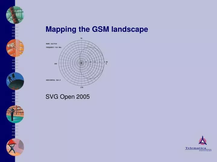
Mapping the GSM landscape. SVG Open 2005. Goal. Location determination Best effort Automatic Take whatever is available: GPS Accurate, but requires hardware and has limited battery life Wifi / Bluetooth Cheap, but ad hoc

E N D
Mapping the GSM landscape SVG Open 2005
Goal • Location determination • Best effort • Automatic • Take whatever is available: • GPSAccurate, but requires hardware and has limited battery life • Wifi / BluetoothCheap, but ad hoc • Mobile networks (operator based)No extra hardware, but operator dependency and expensive • Mobile networks (central registry)Operator independent and cheap, but limited coverage.
Cell-id database • Central data source with cell information • Converts cell-id into location • Based on multiple measurements • All automatic GPS measurements • Free to use, but expect new cells in return • User is also contributor • Easy access via web services • Focus area: western Europe • Alternatives: • cellspotting.com • placelab.org
July 2005 statistics • 10389 cells of • 35 operators, • 264051 measurements in • 14 countries, • 57 provinces, and • 229 postal code regions • And growing every day…
Possible applications • The well-known Friend Finder • Add location information to instant messaging • Like MSN adds the now-playing-track from MediaPlayer to the contact/buddy details • Speech recognition of street and city names • Limit the degrees of freedom in the solution space • Voice gateway • Call a fixed number to get information about items in your vicinity (attractions, ATMs, toilets, history,…) • Bad connection marker • Predict bandwidth drops in advance for streaming application
Searching for a new home • With one click an overview of all homes in the vicinity • Without GPS but based on GSM cell location • Integrated with Funda.nl
Where are my friends and colleagues? • Exchange context information with relations • Reason with context information • Frequently visited places • Predict destination • Business travelling • In a meeting • In or out the office Demo!
If you want to use the cell-id database An easy 4-step process: • Get an impression of what is there:http://www.lab.telin.nl/~koolwaaij/showcase/gsmcells • Sign a license and get the credentials from:koolwaaij@telin.nl • Access the webservice to convert cell-id into lat-long:http://client140.lab.telin.nl:8080/wasp/services/CellStoreService?wsdl • Generate the client stubs and use them in your application, use standard HTTP authentication
Code sample in C# • Create a new project • Add a web reference to the cell store service • Call the web service:CellStoreService myService = new CellStoreService(); myService.Url = "http://server.nl/service";myService.listCells(204,8,false); • Returns a CellData[] with all cells for operator 8 (KPN) in country 204 (The Netherlands). It is as easy as that!
Thank you! http://www.telin.nl Johan Koolwaaij koolwaaij@telin.nl August 2005