Download
1 / 12
120 likes | 259 Views
Model. RegCM2_NCC, developed by China National Climate Center and City University of Hong Kong, based on the NCAR RegCM2 . 20 vertical levels , 60-km horizontal resolution and a domain size of 1 35 1 65 grid points .

E N D
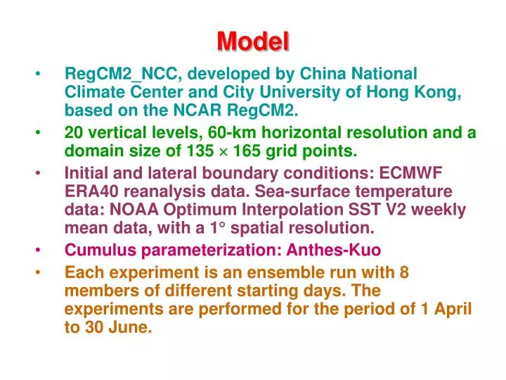
Model • RegCM2_NCC, developed by China National Climate Center and City University of Hong Kong, based on the NCAR RegCM2. • 20 vertical levels, 60-km horizontal resolution and a domain size of 135 165 grid points. • Initial and lateral boundary conditions:ECMWF ERA40 reanalysis data. Sea-surface temperaturedata: NOAA Optimum Interpolation SST V2 weekly mean data, with a 1 spatial resolution. • Cumulus parameterization: Anthes-Kuo • Each experiment is an ensemble run with 8 members of different starting days. The experiments are performed for the period of 1 April to 30 June.
Total Precipitation (mm) in May & June 1998Left: Control Experiment (CTRL) Right: GPCP Observations May June
The Upstream Areas Surface heating Topography, landuse Surface heating IND SCS ICP BOB latent heating SST , Convection
Precipitation Differences (CTRL-EXP) May June
May Precipitation (20-25N, 110-120E) CTRL EXP
Rainfall Diff (EXP-CTRL) in May IChfxBOBqfx INDhfx IChfx + BOBqfx IChfx+ BOBqfx+INDhfx
Rainfall Diff (EXP-CTRL) in June IChfxBOBqfx INDhfx IChfx + BOBqfx IChfx+ BOBqfx+INDhfx
Total Precipitation over Yangtze River region (28-33N,110-120E) and south China (22-27N, 108-118E) Yangtze South China
Difference in May 1998 rainfall(Expt minus CTRL) QBOB QSCS QNWP
Difference in Jun 1998 rainfall(Expt minus CTRL) QBOB QSCS QNWP