Download
1 / 8
80 likes | 203 Views
LIVES regional planning PIP. July 11, 12 Addis Abeba. Main objectives. Determining the reach of the project Commodities Geographical coverage Value chain actors and service providers (districts, zone, region) and linkages Initiate baseline data collection. Regional teams.

E N D
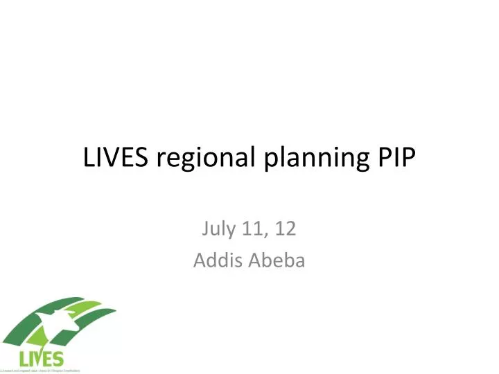
LIVES regional planning PIP July 11, 12 Addis Abeba
Main objectives • Determining the reach of the project • Commodities • Geographical coverage • Value chain actors and service providers (districts, zone, region) and linkages • Initiate baseline data collection
Regional teams • ILRI/IWMI HQ staff for regional meetings • lIVES regional staff/consultant • Regional partners staff (BoA, RARIs)
Identification of commodities, Zones, Districts, PAs • Regional meetings with public sector partners to introduce project and select Commodities/Zones ( 2-3 Zones/Region) – expert consultation and GIS maps and zonal statistical data • Zonal meetings with partners to introduce project and select clustered Districts/commodities (3 districts/Zone) – expert consultation, ranking • District meetings with partners to introduce project and determine suitable PAs/commodities (max 4 commodities/District/PA
Service providers and other value chain actors and linkage • Other commodity value chain actors – traders, processors and whole/retails and vertical linkages • Public and private sector suppliers of physical inputs and services and vertical linkages • Public and private sector suppliers of skills (including gender), knowledge/information and vertical linkages • Linkages between value chain actors and service providers by commodity (matrixes)
Linkages Skills Information Inputs Services Products Region Zone Districts
Baseline data and maps • District level data on number of animals and irrigated areas (fruits and vegetables) • PA level data on number of producers • Regional, zonal and district level data on public sector staff Agricultural offices, Livestock office, Water offices • GIS maps soils, elevation, rainfall, agro ecologicialzones, land use,