Download
1 / 49
490 likes | 493 Views
Learn about the evolution of the Atlas of the Venice Lagoon and the implementation of a collaborative federated system to manage heterogeneous multimedia data. Explore new contents, such as the blue flag map and georeferenced photos, and discover the connections with other information systems.

E N D
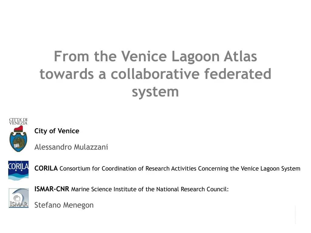
From the Venice Lagoon Atlas towards a collaborative federated system City of Venice Alessandro Mulazzani CORILA Consortium for Coordination of Research Activities Concerning the Venice Lagoon System ISMAR-CNRMarine Science Institute of the National Research Council: Stefano Menegon
Summary of this presentation • Brief news from the Atlas of the lagoon • The CIGNo model for data federation
Back to the “Atlas” • At ICAN 4 we described the evolution from a paper book (the Atlas of the lagoon) to a portal named Informative System of the Lagoon (SIL) • After ICAN 4 we decided to call the web portal simply “Atlas of the lagoon”
ICAN 4 effect • The Atlas of the lagoon has been mentioned among European coastal atlases by DG MARE http://ec.europa.eu/maritimeaffairs/
Atlas official launchon 3rd Feb 2011 • About 250 participants
Atlas official launchon 3rd Feb 2011 • Speakers from several bodies acting in the Venice lagoon and national context: • City of Venice • Veneto Region • ISMAR CNR • Ministry of Environment • University of Padoa • Venice Water Authority (MAV)
Atlas official launchon 3rd Feb 2011 • The membership of the Atlas with ICAN has been outlined
Atlas official launchon 3rd Feb 2011 • During the concluding workshop several bodies involved in the management of the lagoon area had shown their intention to collaborate for the publication of their spatial data • At present we are actively working to consolidate collaboration agreements with those bodies which are not yet partners of the Atlas
Examples of new contents • Blue flag map • ISS georeferenced photos • Scope extended to marine habitats off Venetian coast (“tegnue” reefs) • Evolution of the lagoon
The Blue Flag is a voluntary eco-label awarded to beaches and marinas, through strict criteria dealing with Water Quality, Information, ... and other Services.
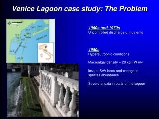
Connections with other information systems • One of the main problem for the Atlas of the lagoon is still the availability of new and updated data on the lagoon • Since sept 2010 the Consortium for Coordination of Research Activities Concerning the Venice Lagoon System (CORILA) with the technical assistance of the Marine Science Institute of the National Research Council (ISMAR-CNR) started a project, named CIGNo, which could become a model for data management produced by the several bodies operating in the lagoon.
CIGNo CIGNo network
Issues • Most of the Atlas data are not produced by City of Venice; • Data are acquired, produced, updated by several different research bodies and institutes; • Difficulty in sharing and reusing data due to a lack of interoperability
CIGNo The proposed solution: CIGNo network CIGNoFederated System • A collaborative federated system to manage heterogeneous multimedia data (scientific and geographic, textual documents, measurements tables, programs to generate new higher level products) • CIGNo (Collaborative Interoperable Geographic Node) • Help users (stakeholders, administrators, scientists) to generate/discover knowledge on phenomena of interest. • Help Venice Lagoon Atlas to include an up-to-date collection of maps, geographic layers, documents and datasets. Highly customized web interface. CORILA CNR City of Venice
CIGNo CIGNo implementation: strategic choices • use of Free Open Source Software (FOSS). • use of international interoperability standards: W3C (Worl Wide Web Consortium), OGC (Open Geospatial Consortium), INSPIRE (Infrastructure for Spatial Information in Europe) • modularity to permit further evolution of the platform (eg, integration of tools: Sensor Observation Services, Web Processing Service, THREDDS - Thematic Real-time Environmental Distributed Data Services); • web 2.0 paradigm: user-generated content, social dimension to enable the collaborative involvement of the scientific community • follow the bottom-up principle in the management of existing scientific information, avoid to define new models of data storage, giving priority to the reuse of data in their original form;
CIGNo CIGNo's Architecture Users ManagerPlanners Citizens Researcher Public Administration Geographic data acquisitionQuality assurance Metadata + semantics Discovery - search maps/layer/documents Access viewing to source dataguided browsingcomposition of data and mapsbrowse by resources relationship Venice Lagoon Atlashighly customized web interface CIGNo Node Open Souce Tools Developed Tools Uploading interface Querying interface Mapcomposer Layers /resources relationship manager Uploading interface OGC WMS, WFS, CSW Compliant access module to source data Raster and Vector repository Metadata storage Documents/Resources repository Extended Metadatastorage (INSPIRE) CIGNoFederated System Node1 Node2 Node3
CIGNo CIGNo's Architecture • GeoNode is the core of CIGNo • open source platform for creation, sharing, and collaborative use of geospatial data. • integrates robust social and cartographic tools Basic architecture • resource layer: PostgreSQL/PostGIS and files storage • interoperability layer: GeoServer, GeoNetwork • OGC standards (WMS, WFS, WCS, SLD, CS-W) • metadata standards (eg ISO/TC211, Dublin Core ). • community layer: Django, ExtJS, OpenLayers, GeoExt • alignment between geodata and metadata • single authentication and authorization service • high-level Graphical User Interface (GUI)
CIGNo Data uploading
CIGNo Metadata compiling
Data searching CIGNo Text and spatial search
Metadata details CIGNo
Browse by relationship CIGNo
Map composer CIGNo
… and viewer CIGNo
Things to do CIGNo • Attempt to adopt the ICAN semantic framework • Further development of software platform to enhance the linkage to national and international sharing environmental data systems and framework (GIIDA, SEADATANET, ICAN) • Dissemination of projects outputs within the local researchers community • …and search funds to continue… • Of course any suggestions are welcome!