Download
1 / 18
180 likes | 201 Views
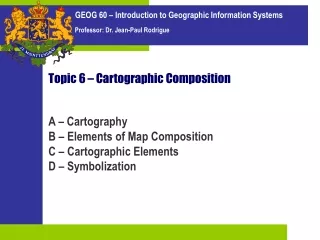
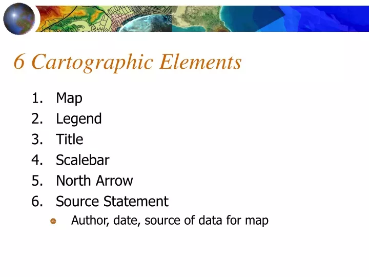
6 Cartographic Elements. Map Legend Title Scalebar North Arrow Source Statement Author, date, source of data for map. Map Projections. Geo 265 - GIS Practicuum. Map Projections. Spherical earth onto a flat map

E N D
6 Cartographic Elements • Map • Legend • Title • Scalebar • North Arrow • Source Statement • Author, date, source of data for map
Map Projections Geo 265 - GIS Practicuum
Map Projections • Spherical earth onto a flat map • map projection can be onto a flat surface or a surface that can be made flat by cutting, such as a cylinder or a cone.
Why Projections? • There are many reasons for wanting to project the Earth’s surface onto a plane, rather than deal with the curved surface • The Earth has to be projected to see all of it at once • The paper used to output GIS maps is flat • Flat maps are scanned and digitized to create GIS databases • It’s much easier to measure distance on a plane
Distortions • Any projection must distort the Earth in some way • Two types of properties are important in GIS • Conformal property: Shapes of small features are preserved, but area is distored • Equal area property: Area of features are preserved but shapes are distorted • Both properties will generally distort distances
Cylindrical Projections • Conceptualized as the result of wrapping a cylinder of paper around the Earth • The Mercator projection is conformal
Latitude and Longitude • The most comprehensive and powerful method of georeferencing • Metric, standard, stable, unique • Uses a well-defined and fixed reference frame • Based on the Earth’s rotation and center of mass, and the Greenwich Meridian • A pseudo projection - preserves neither shape nor area
North Pole Equator Greenwich Definition of longitude. The Earth is seen here from above the North Pole, looking along the Axis, with the Equator forming the outer circle. The location of Greenwich defines the Prime Meridian. The longitude of the point at the center of the red cross is determined by drawing a plane through it and the axis, and measuring the angle between this plane and the Prime Meridian.
Latitude • Latitude (of the blue point) is the angle between a perpendicular to the surface and the plane of the Equator
The Universal Transverse Mercator (UTM) Projection • A type of cylindrical projection • Implemented as an internationally standard coordinate system • Initially devised as a military standard • Uses a system of 60 zones • Maximum distortion is 0.04% • Transverse Mercator because the cylinder is wrapped around the Poles, not the Equator
Zones are each six degrees of longitude, numbered as shown at the top, from W to E
Conic Projections • Conceptualized as the result of wrapping a cone of paper around the Earth • Standard Parallels occur where the cone intersects the Earth • Conical projections are conformal
State Plane Coordinates • Defined in the US by each state • Some states use multiple zones • Several different types of projections are used by the system • Provides less distortion than UTM • Preferred for applications needing very high accuracy, such as surveying
Oregon State Plane Data http://www.sscgis.state.or.us/coord/project/gpl.html
Converting Georeferences • GIS applications often require conversion of projections and ellipsoids • These are standard functions in popular GIS packages • Street addresses must be converted to coordinates for mapping and analysis • Using geocoding functions • Placenames can be converted to coordinates using gazetteers