Download
1 / 14
140 likes | 285 Views
Lake District Field trip – Easter. Pre-field trip preparation. What might we require to know. How shall we get there? Where shall we stay? Where will we go? What books/field guides should we read? What maps should we consult? What types of rocks might we look at?.

E N D
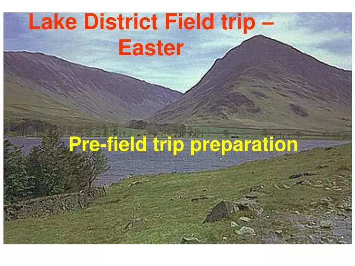
Lake District Field trip – Easter Pre-field trip preparation
What might we require to know • How shall we get there? • Where shall we stay? • Where will we go? • What books/field guides should we read? • What maps should we consult? • What types of rocks might we look at?
What is GIS? A general purpose and extensible computer system handling data pertaining to geographical locations (D.Rhind)
Where something is? What is at a given location? 55◦ North, 2◦ West Coarse (small scale) Detailed (large scale)
GIS map comprises layers • Points represent localities or data points we might collect • Shapes/polygons represent geological units • Lines represent contacts or faults etc
Co-ordinate systems Latitude/Longitude Great Britain Grid
Lake District Digital Map Project Aims • To produce a 3D digital geological map/model of the Lake District • To relate geology of the Lake District to its landscape in preparation for our visit there Planning!
Tips for a successful project • Group Project • Strategy to achieve milestones • Week 1 – Learn/revise GIS and produce initial map • Week 2 – Add geology to map and make some interpretations • Week 3 – Finish interpretations and start report • Week 4 – Complete project deliverable • Logistical items • Data management • Technical items • Background reading • Next week in lecture will get more info on the form of the report (submit report via digital drop box on Duo)
Detailed geology Geology Layers Regional scale geology Regional Structure
Assignment • Group report – submitted via Duo in Field studies click on Tools button to find Digital Drop Box • 1 report per group • Format – A Word file no longer than 4 A4 sized printable pages • Do not submit data files or ArcMap/ArcScene files • An illustrated report giving your interpretations will earn more marks than lots of material copies from text books!
Add pictures to your report extracted from ArcScene NNW Old Man of Coniston (800m) BVG forms high mountain to north Windermere Supergroup Dips steeply south Unconformity shown by green line – clearly cross-cuts volcanic units of the BVG Coniston Linestone at base of Windermere SG (at front) 1km Scene from Torver illustrating the unconformity between the BVG and the Windermere SG