Download
1 / 15
150 likes | 264 Views
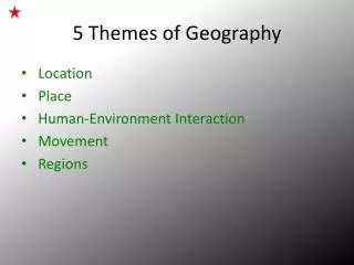
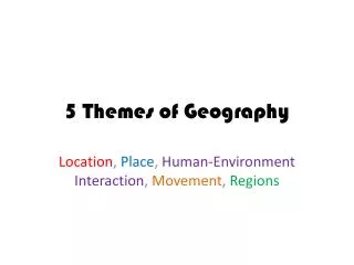
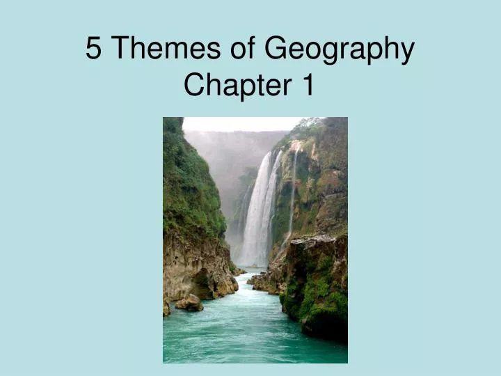
5 Themes of Geography Chapter 1. Geography. Study of the distribution and interaction of physical and human features on the earth. 5 Themes-Location. “Where is it?” Absolute-exact Relative-comparative. 5 Themes-Place. “What is it like?” Physical-landforms, climate

E N D
Geography • Study of the distribution and interaction of physical and human features on the earth
5 Themes-Location • “Where is it?” • Absolute-exact • Relative-comparative
5 Themes-Place • “What is it like?” • Physical-landforms, climate • Cultural-religion, traditions
5 Themes-Region • “How are places similar?” • DFW • North Texas
5 Themes- Human-Environment Interaction • “How do people interact with the environment?” • Depend-rivers • Modify-roads • Adapt-clothes
5 Themes- Movement • “How do people, goods, and ideas move from place to place?” • Technology is important factor
Equator • An imaginary line that divides the earth into northern and southern halves
Prime meridian • Imaginary line dividing the earth into eastern and western halves
Hemisphere • Half of the earth • Northern, southern, eastern, western
Globe • 3-Dimensional representation of earth • Not portable
Cartographer • Person who makes maps • Maps are 2-D, distort landmasses, and are portable
Topographic Map • Shows natural and man-made features on the earth
Thematic Map • Emphasizes specific information like climate or vegetation or population
GIS-Geographic Information System • A system that uses digital map information to create a databank • Can add or remove different layers to highlight certain information